Great news! The latest version of ArcGIS Excalibur is now available to download and use. ArcGIS Excalibur is a web-based app that allows image analysts to access, analyze, and share imagery for daily decision-making. Organizations are looking to make their operations more efficient with remote inspection. This November 2022 release includes new and enhanced features that help users to continue to work on imagery remotely. Analysts can more easily make observations on images from anywhere and then add them to a report that can be shared with executives and stakeholders.
In this release, ArcGIS Excalibur will be expanding to support additional service types to perform more enhanced visualization on imagery. There will be new canvas tools to help analysts stay organized and cut down on manual work. Finally, it is now even easier to create and share reports.
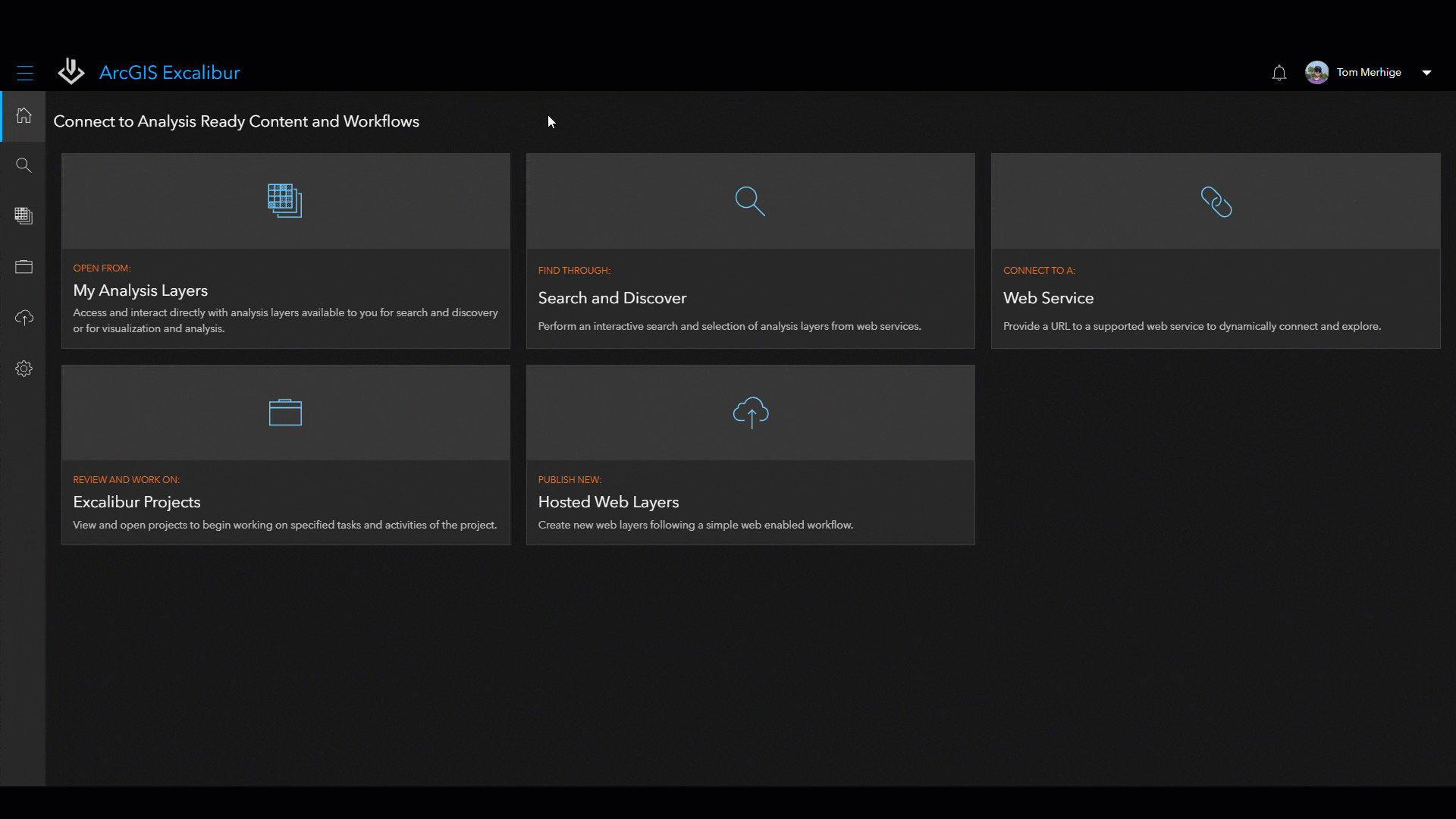
Access
Support for Additional Service Types
ArcGIS Excalibur will now support Tile Layers, Tiled Image Layers, and Map Image Layers with the November 2022 Release. Users can continue to work remotely by analyzing images off-site with a larger set of layer types like these. The newly designed “connect by URL” or “Analysis Layers” interface provides quick access to tiled or map imagery layers when performing remote inspections of area impacted by weather or determining activity at a construction site. To learn more about all the layer types that ArcGIS Excalibur supports, read this documentation.
Analyze
New and Enhanced Canvas Tools:
- The new Count Tool allows analysts to count objects on images to quickly calculate a total. Objects are labeled with a number in sequential order – eliminating the guess work and margin of error that comes with manually counting.
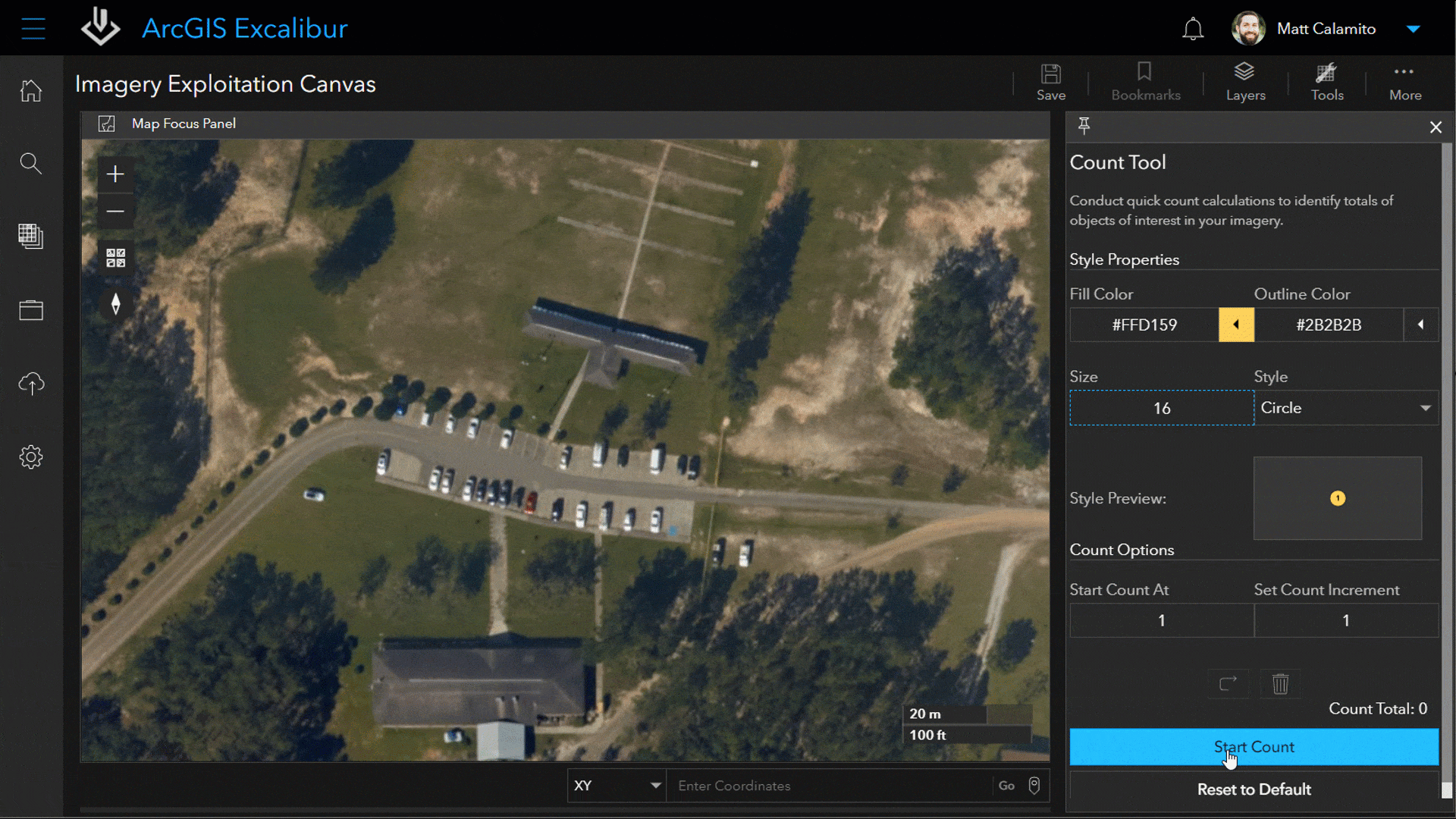
Using the Count Tool to number vehicles in a parking lot
- To help keep analysts organized and save on time, we’re releasing a new Bookmark Tool that will allow them to save shortcuts to specific locations within a project and quickly navigate to them throughout their analysis.
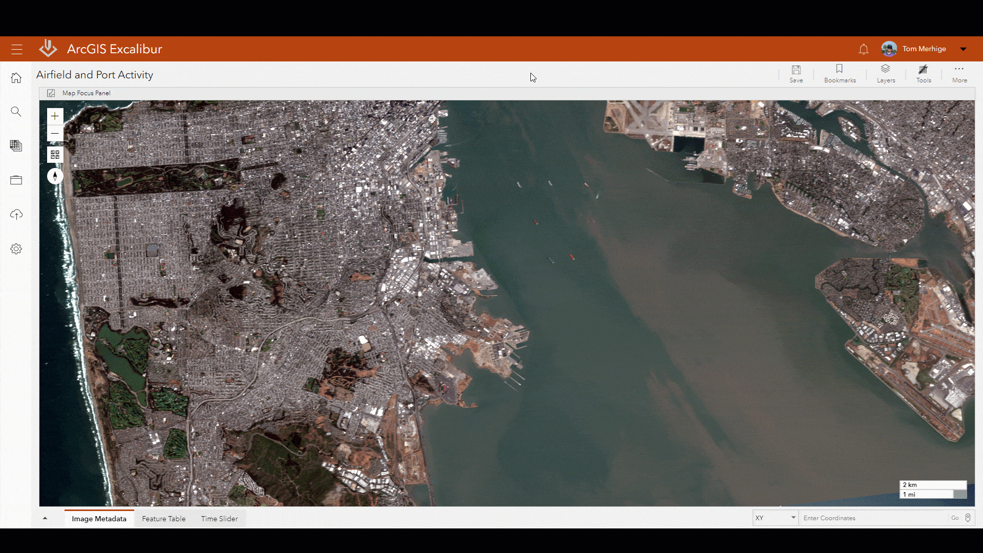
Using the Bookmark Tool to navigate to a project tracking port activity
- The new Screenshot Tool will allow users to view or save a defined area on their images as a jpeg. They will be able to take a snapshot that can include layers such as markups, measurements, and count tool graphics. With these screenshots, users can more easily share their analysis with key stakeholders for seamless decision making.
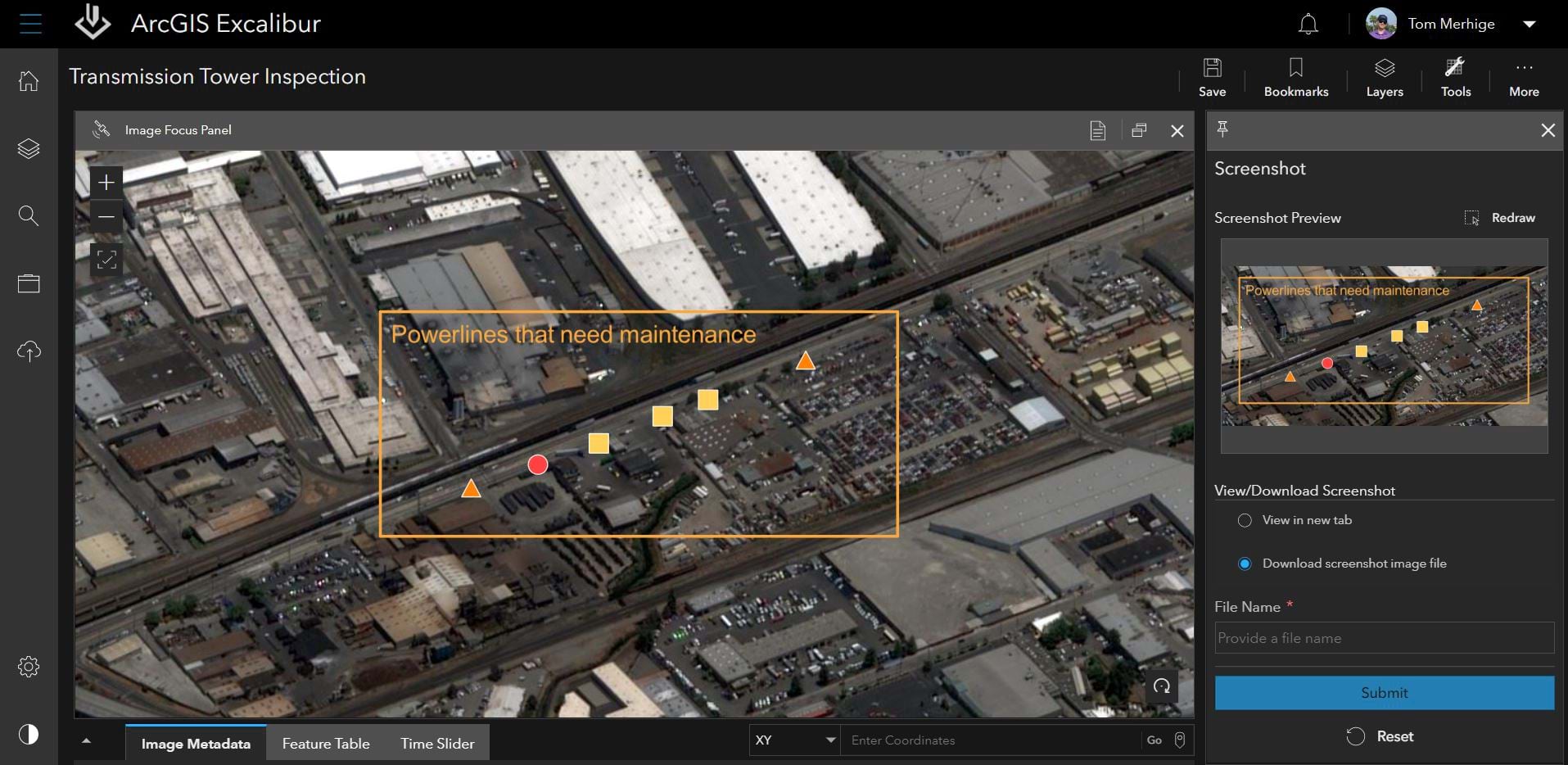
Using the Screenshot Tool to save a snapshot of power lines that need maintenance.
Share
Streamlined Reporting:
Analysts can feel more assured they are accurately reporting with our enhancements to the Create Report Tool. You can now preview specific exported areas before creating your report.
For better collaboration, share published items such as image layers, observation layers, and Excalibur Imagery Projects to groups within your organization.
Get Started Today
Administrators can go to My Esri to download, install, and assign the latest version of the ArcGIS Excalibur app to users in their organization. Users can access ArcGIS Excalibur via the portal app launcher once logged in.
We’re here to support you. To learn more about how ArcGIS Excalibur can add value to your imagery workflows, get in touch with an Esri representative at go.esri.com/excalibur, visit the Esri Community page, and explore the new Resources Page.


Article Discussion: