Tiled imagery layers from ArcGIS Online provide a lot of functionality to your organization. By providing source pixel value access, custom visualization possibilities, and raster analysis, tiled imagery layers can be used equally for maps and as input for analysis.
In a previous blog, Your Guide to Sharing Imagery & Raster Data, all the options to share your imagery in ArcGIS Online are discussed. The benefits and disadvantages of map tile caches, hosting individual images, tiled imagery layers, and dynamic imagery layers are generally discussed broadly. While the blog discussion focuses on all types of layers, there are specific technical differences between the map tile cache and tiled imagery layers from ArcGIS Online to consider, particularly when it comes to the functionality that each layer provides in a map. In this blog, I will continue the discussion on some technical differences between tile cache layers and tiled imagery layers to explain how each can be used to benefit your organization.
Tile cache layers
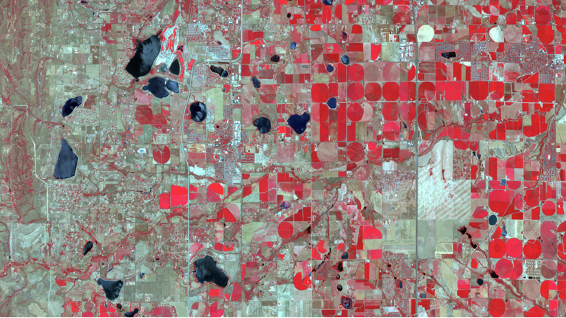
For many maps, imagery is used to provide a backdrop or add context to the map. Images added to the map provide a backdrop for the vector layers to be displayed. Against the canvas of imagery, the vector data focuses the user on the desired message while the imagery helps the user place the information in a relatable location. For these maps, the imagery must display quickly and have a specific visual appearance. Tile caches can be raster tile caches, map tile caches, or tile caches depending on how they were created. However, they all share common traits after they are created. The tile cache layers display as they did when they were created with the specific band combination and additional imagery display properties. The trade-off for this type of layer is performance at the expense of customization or control.
Source pixel value access
Tile cache layers can be added to a map and appear as any imagery layer will, but the ability to access the pixel values of the source imagery is limited. The original pixel values were used during the custom rendering and what is provided is the rendered pixel values at the time of the cache creation. Depending on the caching levels, the pixels in a tile layer could be altered and the spatial resolution can be changed. Tile layers are created for fast performance by fusing and compressing the input imagery into three band images to display across ArcGIS.
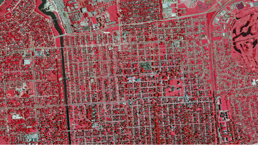
When a tile cache layer is added to Map Viewer, you will not see the properties that are available in the map, especially the pop-ups. Tile cache layers cannot access the pixel values in the imagery to display in the pop-up. Tile cache layers created from images with four raster bands, thematic imagery with unique values, or temperature imagery with floating point values cannot be identified by pop-ups. Source pixel values were used during the creation of the cache, but they are inaccessible by pop-ups while interacting with the layer in Map Viewer.
Custom visualization possibilities
Images can be visualized through different image display options in ArcGIS. In a map, the raster band combination, histogram stretch, and brightness can be combined to display the image in different ways. Multispectral images allow for complex visualization options that can be based on different combinations of the raster bands.
Tile cache layer visualization is based on how they image was visualized when the caching occurred. The way the input is displayed in the map prior to caching controls what the raster tile layer visualization will be. For instance, if a four-band input image with a near infrared raster band is displayed in the map as a false color composite with the near infrared band being used in place of the red band, the raster tile layer will be displayed in this manner. For tile cache layers, there are no options to change the visualization of the layer in the map.

Raster analysis
Raster analysis has been available in ArcGIS through desktop and enterprise applications. In Map Viewer Classic, raster analysis can be performed with ArcGIS Online with raster functions in addition to the raster analysis tools. However, not all layers that can be added in ArcGIS Online can be used for raster analysis. For the analysis to be performed online, the layer must be recognized by the raster analysis tool or raster function. Tile cache layers are not always recognized as input to these raster analysis tools.
For deep learning tools and a few other tools, the tile layer can be recognized, but for most raster functions the tile cache layer will not be recognized. Due to their construction, they are often not suitable for raster analysis as the spatial resolution and raw pixel values have been altered when the cache was created. When using a tile cache layer in one of the deep learning tools, confirm the cell size to be used. The deep learning tools use the spatial resolution of the input imagery layer. If your tile cache has a finer spatial resolution than is necessary for the analysis, you can set the desired cell size by modifying the Cell Size environment setting.
Tiled imagery layer
ArcGIS Online allows you to host and use imagery in your organization in online web maps, and desktop applications as you would with file-based images. The tile imagery layers provide access to the source pixel values, custom visualization options, and used in all raster analysis tools. Tile imagery layers hosted in ArcGIS Image can be used for context just as tile cache layers can in maps but can also be used for analysis and interpretation. When hosted as a tile imagery layer, the source imagery pixels and raster bands are maintained in the output. The source image properties can be viewed within the item details, including spatial resolution information, raster bands, and file size.
The performance of the tiled imagery layer is based on the internet connection, client processing power, and size of the imagery layer. Overall, tiled imagery layers provide a blend of performance and functionality for your organization. They can be used in online maps and desktop applications across your organization.
Source pixel value access
Tiled imagery layers by ArcGIS Online maintain access to these pixel values allowing them to be used just like file-based images, but they can be accessed by users throughout your organization. The pixel values can be identified by enabling pop-ups and used in raster analysis tools that perform mathematical operations. During the tiled imagery layer creation, the pixels and raster bands are carried forward in the hosted imagery layer from the input raster. All of the pixel values for all the raster bands that appear in the pop-up will be listed in the order of the bands in the display.

The item details page of the tiled imagery layer reveals input raster information about the layer, including the following:
- Size
- Image count
- Source type
- Pixel type
- Number of bands
- Cell size

Custom visualization possibilities
Tiled imagery layers maintain access to all the raster bands in the input image. Within a map, the combination of the raster bands can be changed to create the desired visualization in the image display options. For example, the four-band image with a near infrared raster band can be used as input for a tiled imagery layer, then the order of the raster bands can be altered in a map. When the tiled imagery layer is added to an ArcGIS Online map, the user can shift between visualization options while investigating an area or create two visualizations by adding the same imagery layer twice and altering the band combination of each layer.

In the Style pane, different styles can be chosen and customized. In addition to modifying the band combination, additional symbology settings including the following:
- Stretch type
- Gamma
- Dynamic Range Adjustment
- Statistics
These display options can be modified to further modify the visualization of the tiled imagery and aid interpretation.

Raster Analysis
Tiled imagery layers are recognized in the raster analysis tools and by raster functions as valid input. Since the raster bands and pixel values are available, any raster analysis tool that uses them can be performed. When the raster analysis tools are used in ArcGIS Online, the output will be another imagery layer (tiled or dynamic). Through the raster function template editor, the raster bands in tiled imagery layers can be used as input to mathematical functions to create derived imagery layers such as Normalized Difference Vegetation Index (NDVI) or other common indices. Desktop raster analysis can also recognize tiled imagery layers as input for local analysis. Each raster function and raster analysis tool in ArcGIS Image produces a new imagery layer that can be shared within the organization.

Conclusion
Both tile cache layers and tiled imagery layers have specific uses for your organization. For performance and context, tile cache layers can be used in maps to provide context to the map where the analysis of the imagery is not a priority. Imagery in GIS can be more than context, the imagery layers can be used in tandem with image services from ArcGIS Image Server, feature layers in ArcGIS Online, or any ArcGIS Enterprise layer in any map. The functionality of the tiled imagery layer allows users to specify their own visualization or perform their own analysis. Imagery use in your organization may be similar to these described workflows or a hybrid of them. I would urge you to consider using tiled imagery layers in your organization to gain access to this functionality to further enhance your work and maximize your imagery investment.


Article Discussion: