
Back in 2018, Esri’s StoryMaps team launched a collection of multimedia narratives we called Living in the Age of Humans. We billed it as “a series of stories examining the Earth-wide impacts of our human presence.”
We had several motivations for the series:
- We wanted it to showcase the rich mix of media — photos, videos, 2D maps, 3D web scenes, infographics — that we think makes ArcGIS StoryMaps such a compelling storytelling medium.
- We wanted to spotlight a sampling of the thousands of useful maps and layers that are accessible via Esri’s Living Atlas of the World.
- We wanted to provide a resource for educators to use for instructional purposes.
- And we wanted to play a small role in raising awareness about the profound impact that we humans are having on our planet.
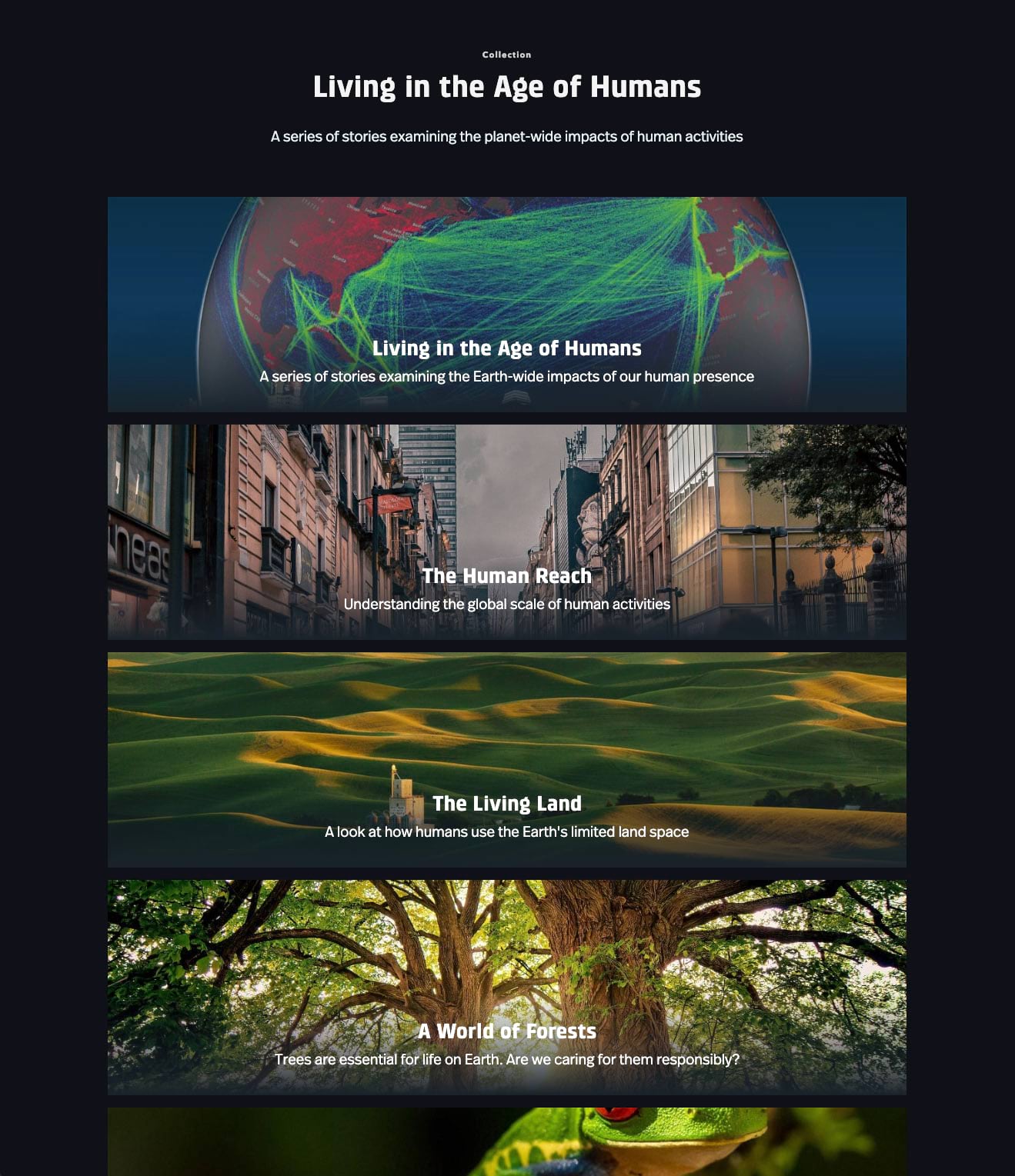
The series has proven to be perennially popular. In fact, the collection page is the second most viewed of all the collections we’ve published. (If you’re curious, our most popular collection is Discover the possibilities with ArcGIS StoryMaps!) The series includes an introductory story, Living in the Age of Humans, plus installments on the global scale of human activities (The Human Reach), how humans use Earth’s limited land space (The Living Land), how human activities are affecting our planet’s trees (A World of Forests), and celebrating and conserving our planet’s abundant flora and fauna (The Diversity of Life).
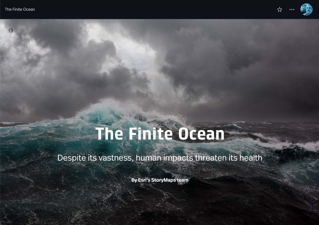
After a pause that was longer than we expected — it was back in May 2021 that we published “Diversity of Life” — we’re unveiling the latest story in the series: The Finite Ocean. The ocean covers more than 70 percent of the Earth’s surface, so it’s a topic that can’t be ignored. Although it’s a somewhat distant and mysterious presence to most us land dwellers, we’re all dependent on the ocean as a supplier of oxygen, as a regulator of climate, as a medium for commerce, and as a source of nutrition.
And despite its staggering vastness, the ocean is far from immune from human impacts. Our actions are warming it, changing its chemistry, depleting its fisheries, and polluting its depths. We ignore it at our peril.
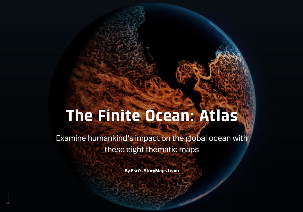
Our new story echoes the rhythms and visual richness of the other installments in the series. And, like its sisters, it has a companion atlas. We’ve collected and showcased the maps featured within the narrative along with links to data sources. It’s our hope that the primary stories will appeal to broad audiences and inspire people to action, and that the accompanying maps will spur geospatial professionals to tell their own stories about how we might work toward being more effective stewards of our home planet.
Want to make a deeper dive — literally — into the ocean? Read Esri Chief Scientist Dawn Wright’s account of her journey to the bottom of the Mariana Trench.

Article Discussion: