Mapping Black California
Mapping Black California is a comprehensive resource that equips the state’s population with reliable data, maps, and dashboards to identify and amplify local systemic inequities and spur policy changes.

As human activity increasingly dominates Earth, social science remains critical.
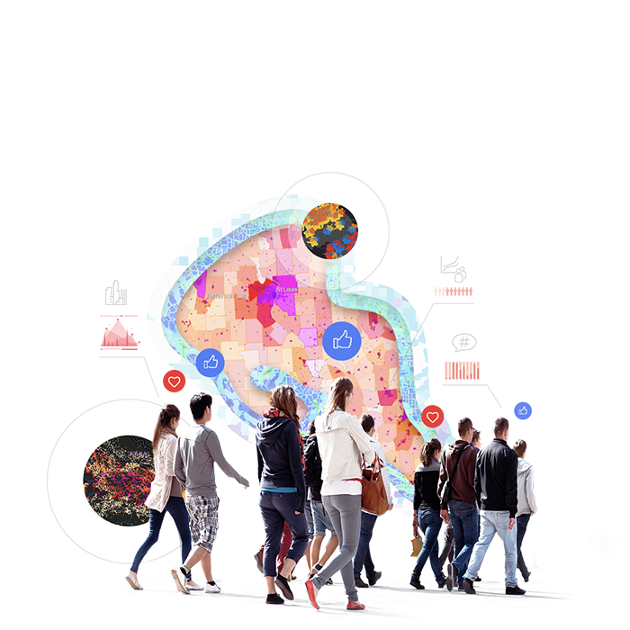
ArcGIS has much to offer to social scientists employing qualitative and mixed-method perspectives in their work. Our new internal team of social science experts is developing many resources to showcase the collaborative power and utility of ArcGIS for both quantitative and qualitative social science research. This includes resources for data capture, coding, and analysis workflows; the visualization, dissemination, and perception of data; and the concepts, behaviors, and values that can be used to address long-standing issues of social and environmental concern.

Open data, maps, training solution templates, and stories reveal patterns of inequality and help drive changes toward racial justice.

A global information system has emerged to empower the science community to better understand and model pandemics and inform public health decision making.
Explore stories of how ArcGIS can be used to support the Sustainable Development Goals (SDGs) initiatives.
These quantitative and qualitative measures provide important information on issues relevant to gender equality and women's empowerment.
The Global Gender Gap Report produced by the World Economic Forum (WEF) examines differences between men and women across four fundamental categories.
Women and girls are more deeply impacted than men and boys by poverty, violence, discrimination, and economic crises. Learn how the SDGs can help mitigate these disparities.
The 17 SDGs set out to end poverty, protect the planet, and ensure prosperity for all.
Mapping Black California is a comprehensive resource that equips the state’s population with reliable data, maps, and dashboards to identify and amplify local systemic inequities and spur policy changes.
Policy maps clearly show where there are opportunities to inform policy makers and concerned citizens. The new Esri Maps for Public Policy site is dedicated to raising the level of spatial and data literacy used in public policy. We invite you to explore curated content, training, best practices, and datasets that can provide a baseline for your research, analysis, and policy recommendations.

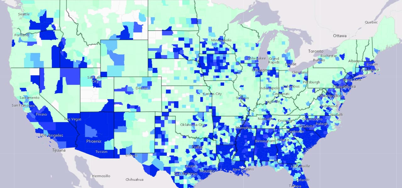
Homelessness is a complex issue. To properly address the root causes, organizations must better understand the impacted communities and the extent of the problem. Many organizations use ArcGIS to identify at-risk communities, count the number of individuals affected by homelessness, establish strategic partnerships, share resources, and conduct targeted intervention and outreach.

Esri's spatial statistics team is pleased to be working on several projects with Dr. Francesca Dominici and other scientists in the Harvard Data Science Initiative. Recent efforts resulted in a publication in the world's most cited scientific journal, Nature.


GIS and the 2020 Census
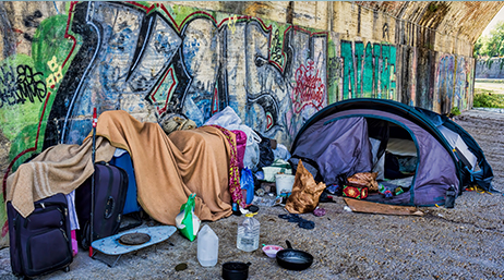
Homelessness: GIS for Science
GIS Research Methods
Resilient Communities across Geographies
Enhancing Qualitative Social Science Research