Try ArcGIS Drone2Map
Learn how to process and analyze drone imagery in ArcGIS Drone2Map.
Start reality mapping with ArcGIS Drone2Map.
Find installation instructions, system requirements, and more to help you create and complete your projects with ArcGIS Drone2Map.
Create 2D products with ArcGIS Drone2Map

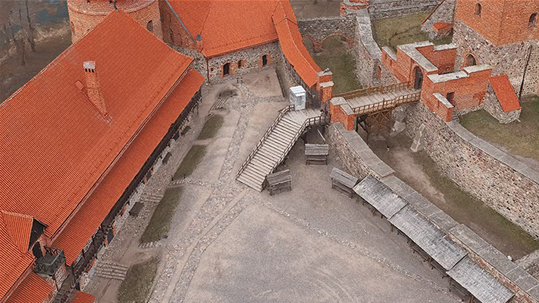
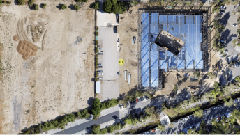
Inspect infrastructure with ArcGIS Drone2Map
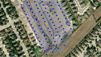
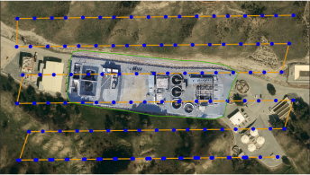
Evaluate the accuracy of ground control points
ArcGIS Drone2Map video playlists

What's new in ArcGIS Drone2Map

What’s new in ArcGIS Reality (May 2026)

A step-by-step guide to launching a drone program

Get high quality outputs from drone imagery

Inspect assets with ArcGIS Drone2Map

Understanding the Drone2Map processing report
The benefits of catalog datasets in Drone2Map

Work with RTK drone imagery in ArcGIS Drone2Map
Tips for Collecting Drone Data for Drone2Map
Explore the new features and capabilities of the latest release.
Read articles from the ArcGIS Drone2Map Team. Connect to ask questions and learn more.
Submit your ideas on ways to improve ArcGIS Drone2Map.
Explore the resources for the applications in the ArcGIS Reality suite.