When your job revolves around capturing drone imagery for clients, you tend to quickly build a large collection of drone flights over many areas, or a single site over multiple dates. Organizing and managing the resulting products from your flights can become cumbersome without the right storage methods or tools. To that end, ArcGIS Drone2Map introduces a new standard for referencing and organizing your output products through catalog datasets. A catalog dataset is a new type of container that is created and stored in a file geodatabase. Output products from ArcGIS Drone2Map are referenced as layers within a catalog dataset, meaning the files don’t reside in the catalog, but instead the layer links to the original dataset.
Catalogs are capable of referencing layers on local disks, local area networks, and web layers accessible via web services (such as coming from ArcGIS Online). This makes catalogs a valuable tool when you need to coordinate project results from multiple people. All stakeholders can have access to the same catalog and maintain a curated repository of the best results. The following scenarios demonstrate how catalogs can be configured to be beneficial for an individual, organization, or both:
Local catalog
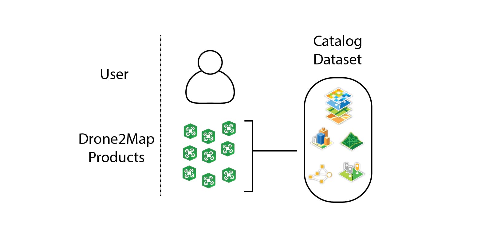
You have collected and processed multiple projects and are now looking to store all your drone project results on a single machine. A local catalog dataset is a great option for when one individual is maintaining all the results from many Drone2Map projects.
Shared local catalog
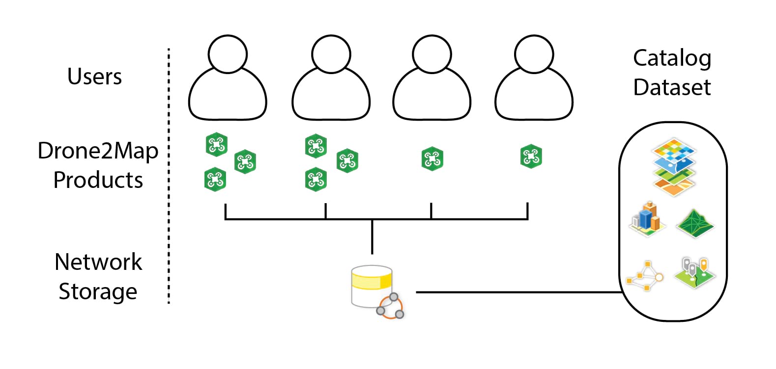
You and multiple coworkers frequently process different Drone2Map projects. These projects can be over the same area or different areas or times. Due to an ever-increasing number of projects, it has become hard to store and quickly reference results without the need for multiple projects across multiple computers. With a shared local catalog dataset, the catalog and file-based products are stored on a shared network drive. This option is ideal for catalog users who process and analyze file-based products on multiple machines and want centralized and shared storage for their drone products.
Web catalog
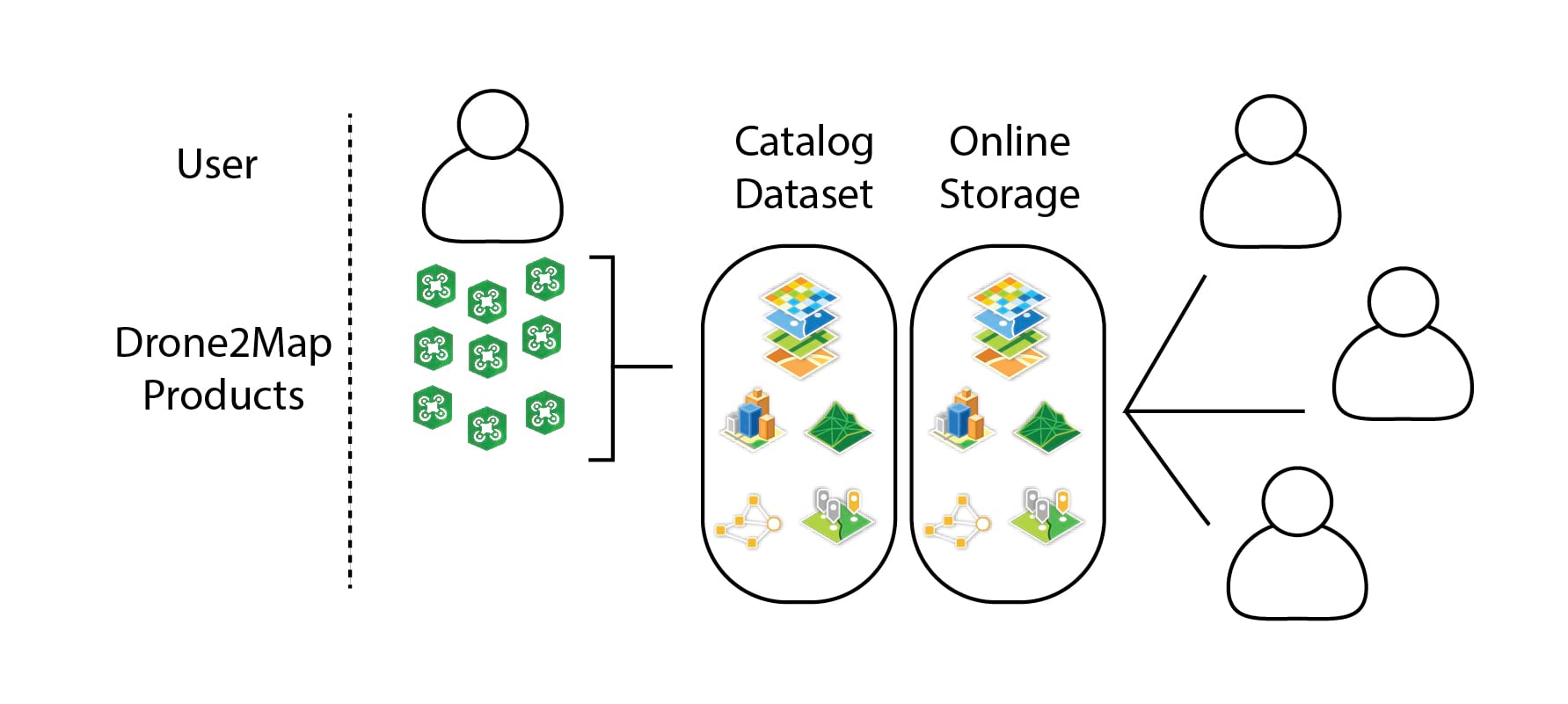
You need to organize and store output Drone2Map products where your remote coworkers can view them. However, they only need to view them, and you oversee the processing and organization. Web catalog datasets can be stored locally or on a shared network drive to reference products that are shared as web layers from ArcGIS Enterprise or ArcGIS Online. This option is ideal for users who work with web layers in their desktop applications (ArcGIS Pro and ArcGIS Drone2Map) and want to quickly search and discover web layers over any area of interest.
Catalog usage examples
Catalogs can be used in a variety of ways to display useful visualizations, create datasets, and allow for unique new sharing methods.
Change over time
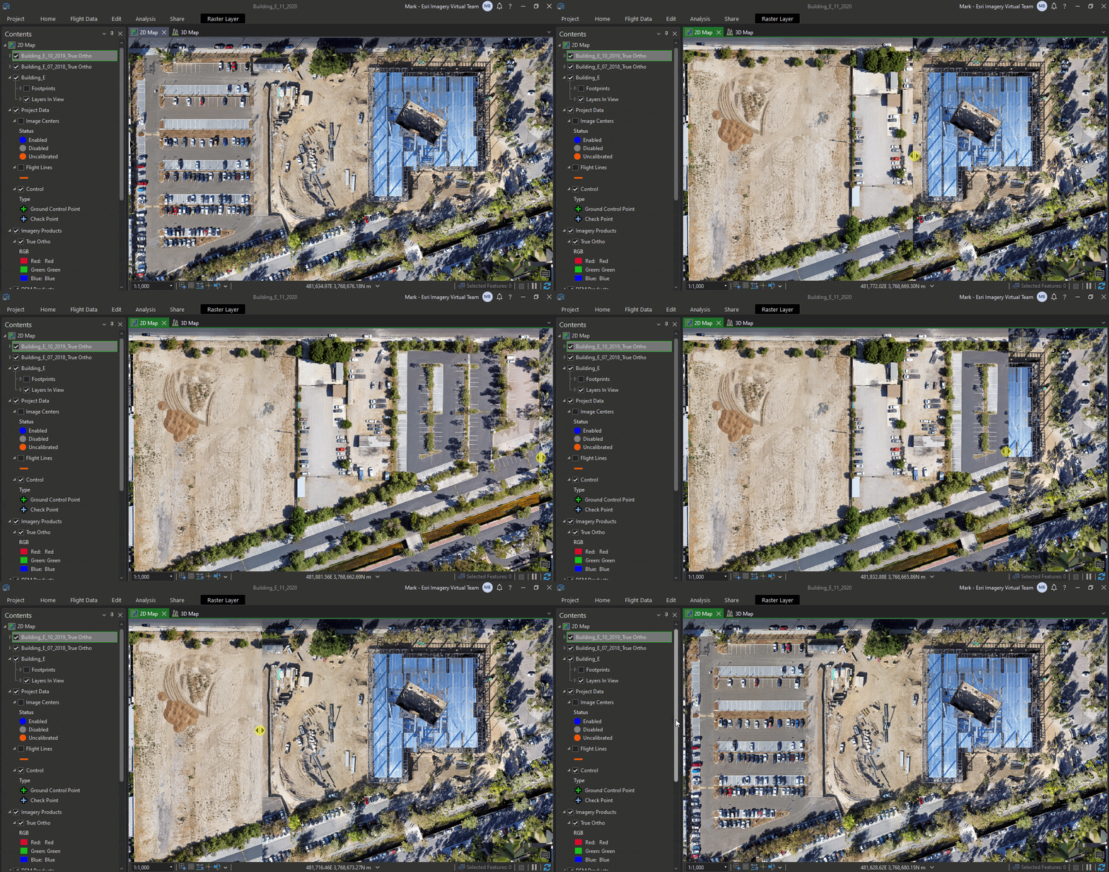
Using catalog datasets, you can monitor a site for change over time. By loading products from flights over the same area, you can stack the layers and use visualization tools to get an idea of the project or area’s progress.
Generate ground control points
If you have collected multiple flights over the same area and stored them in a catalog dataset, you can use past true ortho outputs to generate ground control points for future projects. This helps ensure that your future flights will align with your existing catalog layers.
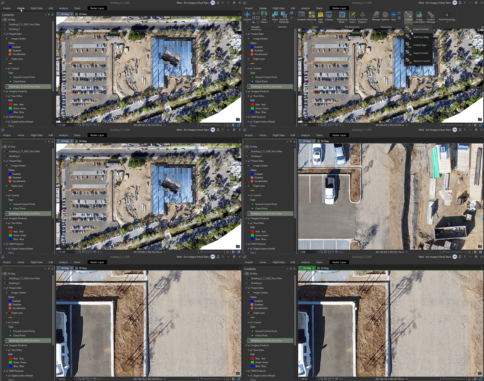
Search and add layers to the map
Catalog datasets can reference large amounts of layers, so a set of tools have been designed around the filtering and searching of layers in the catalog. Even though you can create as many catalog datasets as you want to store your layers, it can be useful to have a single catalog dataset for all users to access. Interactive filtering can also be checked on so that any time you pan the map, only the catalog layers that are located within the current map extents appear in the list.
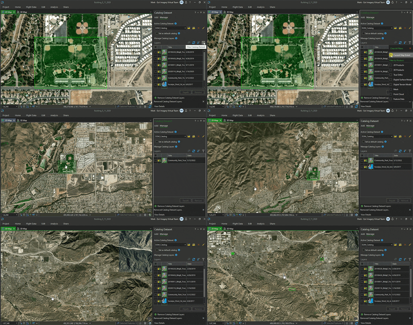
To learn more about how to use catalog datasets within ArcGIS Drone2Map see the following topic: Use catalog datasets

Article Discussion: