ArcGIS Urban
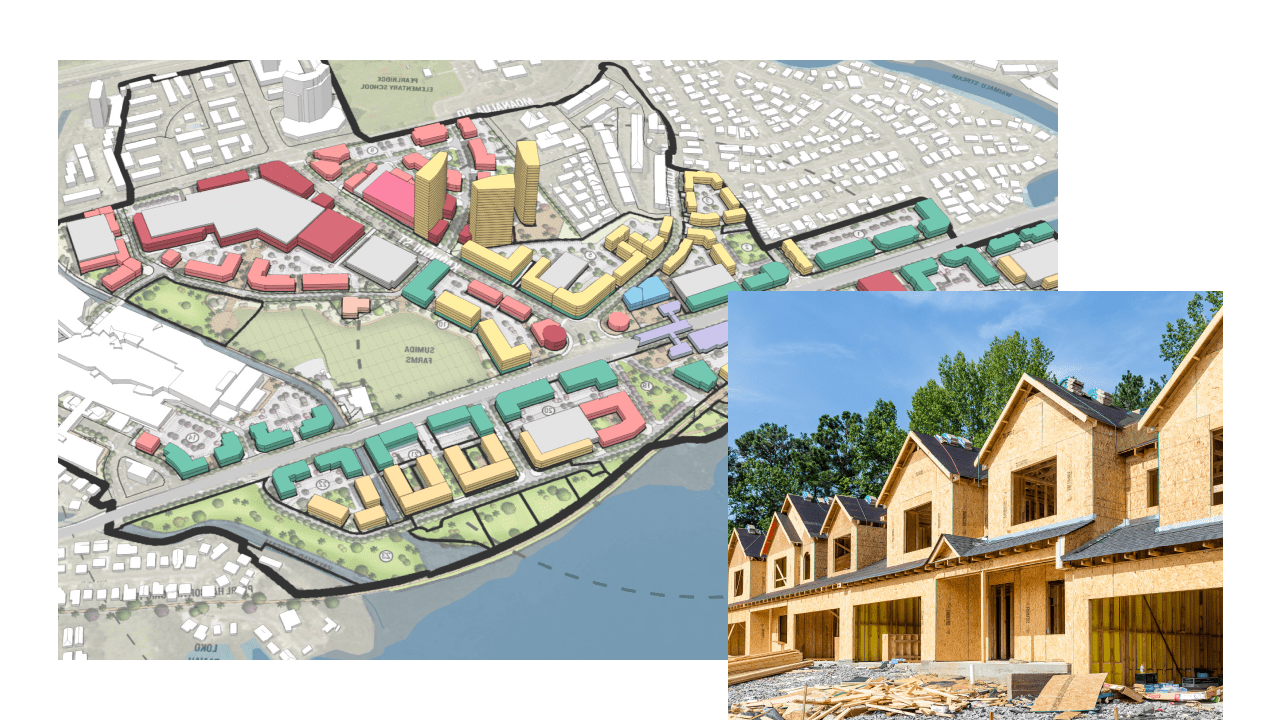
ArcGIS Urban is a web-based 3D software designed to improve urban planning and decision-making. Quickly develop and visualize projects, measure the impacts of policies, and simplify collaboration.
Apply GIS to equitable and sustainable growth strategies using federal recovery grants

The housing situation in America has been severely strained by the COVID-19 pandemic. The issues range from emergency needs for mortgage and rent assistance, to communities being overwhelmed with demands for new housing due to decreased urbanization. ArcGIS delivers a data-driven approach that gives your government staff detailed knowledge of your current housing situation. Analyze affordable housing site suitability, justify strategies for an economic mobility plan, and empower the public by identifying where residents can go for housing assistance.
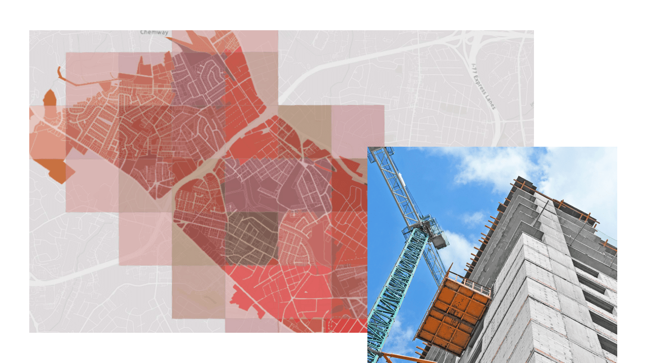
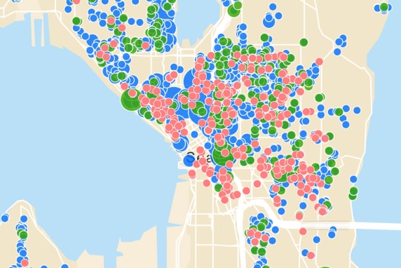
According to the US Census Bureau, 2019 saw the trend of counterurbanization begin with urban areas losing two million residents to suburban and rural areas. This has put a strain on many long-range plans that did not consider such demands for growth. ArcGIS provides the tools to understand where there is room for sustainable growth; model different build-out and zoning change scenarios; and measure the key performance indicators—ranging from the population, tax revenue, and traffic increases to the impacts on utilities and the environment—of any potential development.
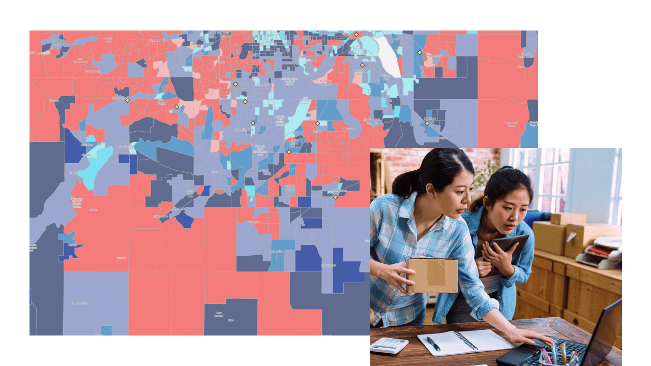
Small businesses have faced a devastating situation due to restrictions brought on by the COVID-19 pandemic. Agencies will have to apply concerted efforts to help local businesses rebound as communities return to more normal conditions. ArcGIS helps government staff deliver a data-driven approach to identifying businesses in need, particularly disadvantaged ones. Connect small businesses to critical resources, identify business service areas with customer and labor base information, promote local businesses to the public, and analyze and monitor economic restoration.
ArcGIS Urban is a web-based 3D software designed to improve urban planning and decision-making. Quickly develop and visualize projects, measure the impacts of policies, and simplify collaboration.
This focused, initiative-driven community engagement software as a service allows your organization to work with internal and external stakeholders, acquire and analyze input, track the progress of initiatives, and improve community outcomes with accountability and transparency.
In addition to the direct allocation of funds to state and local governments, numerous federal agencies have received an impactful level of funding that can support planning and economic development projects.
This grant provides funding to help reconnect communities previously cut off from economic opportunities through public transportation solutions, infrastructure removal, and main street revitalization. Applications close October 13, 2022.

The American Planning Association and Esri experts discuss how the American Rescue Plan Act (ARPA) funding can be used for planning and economic development initiatives.

Explore the federal relief funding available for planners and economic developers to expand their GIS investment.
The National Association of Counties cohosted a webinar with Esri to highlight existing federal programs and the ways your investment in GIS can support your efforts.
Explore how Esri technology aligns with other funding objectives.