ArcGIS Online
This web-based mapping and analysis software as a solution helps expand your work using other ArcGIS products that improve situational awareness, community engagement, and pattern analysis.
Use federal funding to build safer, more resilient communities with GIS
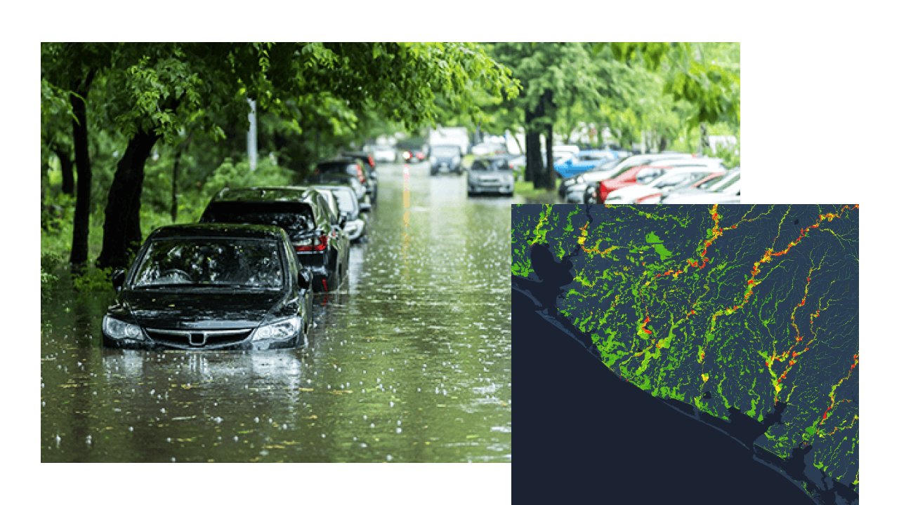
Emergency managers rely on GIS every day to conduct threat and hazard risk assessments, plan mitigation projects and adaptation strategies, and build more resilient infrastructure. GIS helps manage disaster response with dashboards that provide real-time situational awareness, engagement tools for secure collaboration with partners and the public, and mobile solutions for damage assessments and debris removal that expedite recovery.
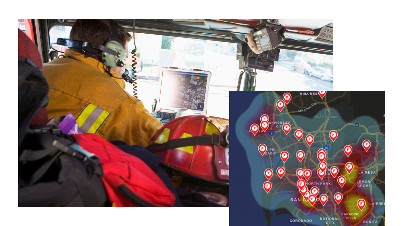
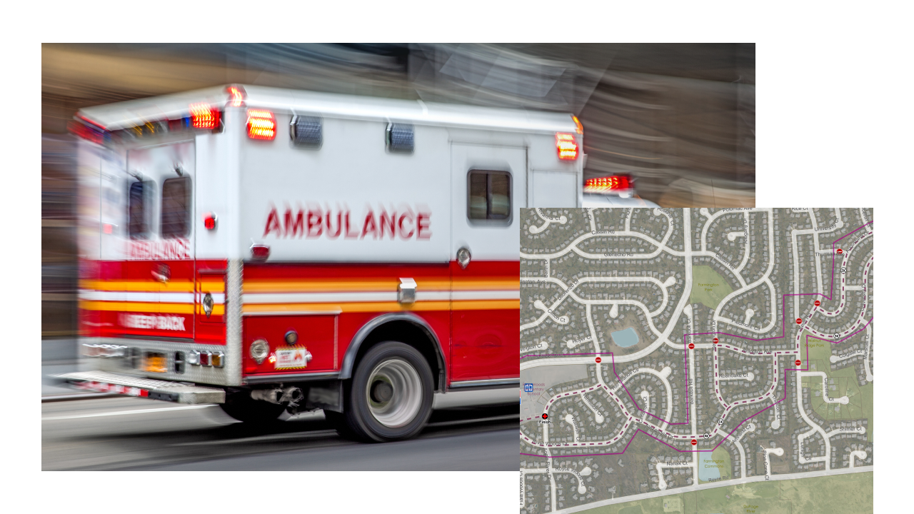
Fire and emergency medical services (EMS) agencies handle a multitude of incidents that claim lives, destroy property, damage the environment, prompt evacuations, and impact localities. The increasing call load and the resultant response and recovery operations from more complex events strain municipal budgets. GIS helps agencies perform data collection, analysis, operations support, and resource coordination during risk reduction, prevention, and fire suppression operations to support a more resilient community.
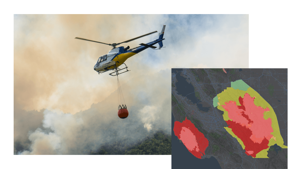
Agencies strive to implement mitigation projects that can reduce the impact and overall wildfire risk on communities, but limited resources and sparse funding make this a challenge. GIS helps agencies identify and prioritize areas of high risk, effective locations for treatments, defensible space, and at-risk populations to justify and allocate resources more equitably. During recovery, GIS helps document the impacts and assess postfire risks such as flooding, landslides, and debris flows to clearly define the need for funding.
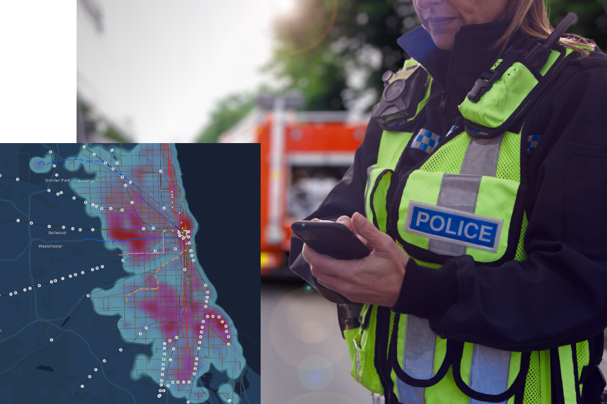
Many jurisdictions are seeing rising incidents of crime and disorder, yet police agencies are challenged by the lack of funding, personnel, and resources needed to implement evidence-based policing strategies. GIS helps agencies modernize and improve field operations, understand crime patterns and implement new crime control strategies, become more transparent and accountable, respond to public health emergencies such as the opioid epidemic and homelessness, and increase overall efficiencies.

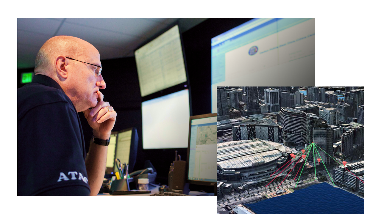
With the growing demand for improved location data accuracy, GIS has never been more critical for 911. Addressing authorities use GIS to collect, validate, and manage mission-critical address data in three dimensions. With GIS, Public Safety Answering Points (PSAPs) are better equipped to understand where to route responders in the community and even within a building in real time, ensuring that resources are deployed where they are needed most.
Communities face ever-evolving threats from foreign and domestic actors that place people and critical infrastructure at risk. GIS provides agencies with the tools needed to conduct risk assessments, monitor real-time threat information, coordinate field operations, and securely share information between partners and jurisdictions. With GIS, homeland security professionals can better map, visualize, and analyze suspicious activity and then take steps to protect the community.
This web-based mapping and analysis software as a solution helps expand your work using other ArcGIS products that improve situational awareness, community engagement, and pattern analysis.

ArcGIS Field Maps is an all-in-one app that uses data-driven maps to help mobile workers perform data collection and editing, find assets and information, and report their real-time locations.

This focused, initiative-driven community engagement software as a service allows your organization to work with internal and external stakeholders, acquire and analyze input, track the progress of initiatives, and improve community with accountability and transparency.
This collection of public safety-specific configurations for ArcGIS can reduce the time it takes to deploy geoenabled solutions in your organization. They leverage your authoritative data and are designed to improve operations, provide new insight, and enhance services.
These public safety grant programs support agencies as they work to prevent, mitigate, protect against, respond to, and recover from threats and hazards of all types and sizes.
FEMA provides grants to build resilience and increase preparedness for eligible US state, local, tribal, and territorial agencies; certain private nonprofits; individuals; and institutions of higher learning.
More on FEMA grantsFirst responders can obtain public safety funding from the Department of Homeland Security for a range of needs, including firefighter grants, emergency medical service grants, and predisaster mitigation grants.
More on DHS grantsThe DOJ offers public safety funding opportunities to assist victims of crime; provide training and technical assistance; conduct research; and implement programs that improve the criminal, civil, and juvenile justice systems.
More on DOJ grantsDHS has directed funding for surface transportation security grants to fund operational deterrence; hardening of tunnels, high-density stations, and bridges; and other security efforts.
More on TSA grants
The International Association of Fire Chiefs (IAFC) uses location technology to aggregate and map details from members, showing where and how COVID-19 is causing harm.

To fix a flood-prone neighborhood, Dubuque planners use 3D GIS watershed models as well as smart surveys to aid home inspections and social work.
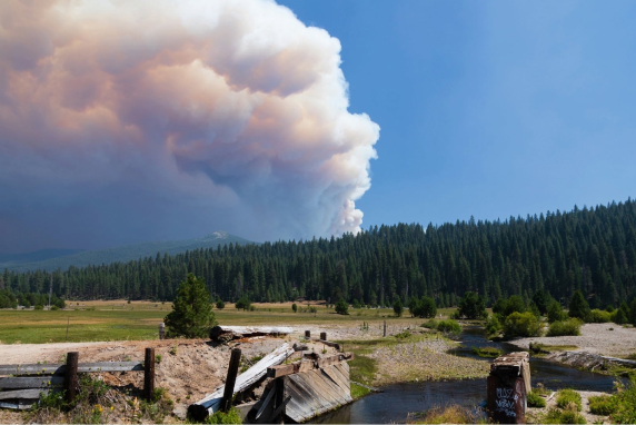
Analysts with CAL FIRE can now run simulations; plan actions; and locate all firefighters, engines, helicopters, and other resources on a single shared map.
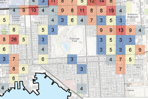
The City of Baltimore uses mapping and spatial analysis for its law enforcement efforts as a fundamental tool for making decisions and efficiently targeting resources.
Explore how Esri technology aligns with other funding objectives.