
ArcGIS Pro
This next generation desktop GIS supports data visualization, advanced analysis, and authoritative data maintenance.
Apply GIS to resilient infrastructure projects using federal funding
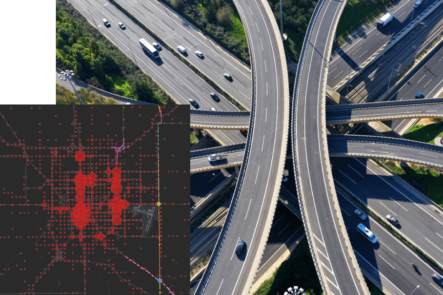
Making the most strategic investments involves finding the optimal balance among factors such as safety, congestion mitigation, and economic development to achieve the greatest societal benefit. GIS analysis can help you understand the trade-offs between different investments, ensuring that agencies' dollars deliver the greatest impact. GIS is a platform of insight that helps decision-makers achieve smarter transportation infrastructure investments that benefit the community.
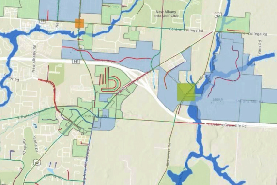
GIS is an essential tool to address current climate-related vulnerabilities, identify areas with future risk, and determine where to focus mitigation efforts. Design resilient infrastructure and stay aligned with federal funding objectives with spatial analysis that enhances nearly every aspect of infrastructure planning and project management.
Use GIS to
Location is central to understanding inequity, especially in transportation where mobility and accessibility vary with demographics. GIS provides a framework for analyzing social imbalances in communities near infrastructure investments so agencies can achieve greater equity and meet new federal funding equity requirements. Deliver enhanced mobility to jobs, schools, housing, and health care with location-based data and analysis in GIS.
This next generation desktop GIS supports data visualization, advanced analysis, and authoritative data maintenance.

Present data and analytics on an intuitive and interactive screen to visualize trends, monitor status in real time, and inform stakeholders.

This focused, initiative-driven community engagement platform allows organizations to work with internal and external stakeholders, acquire and analyze input, track the progress of initiatives, and improve the outcomes for the community with accountability and transparency.
Current funding programs support a wide range of transportation investment activities. GIS can help you meet and stay aligned with the objectives in these featured programs.

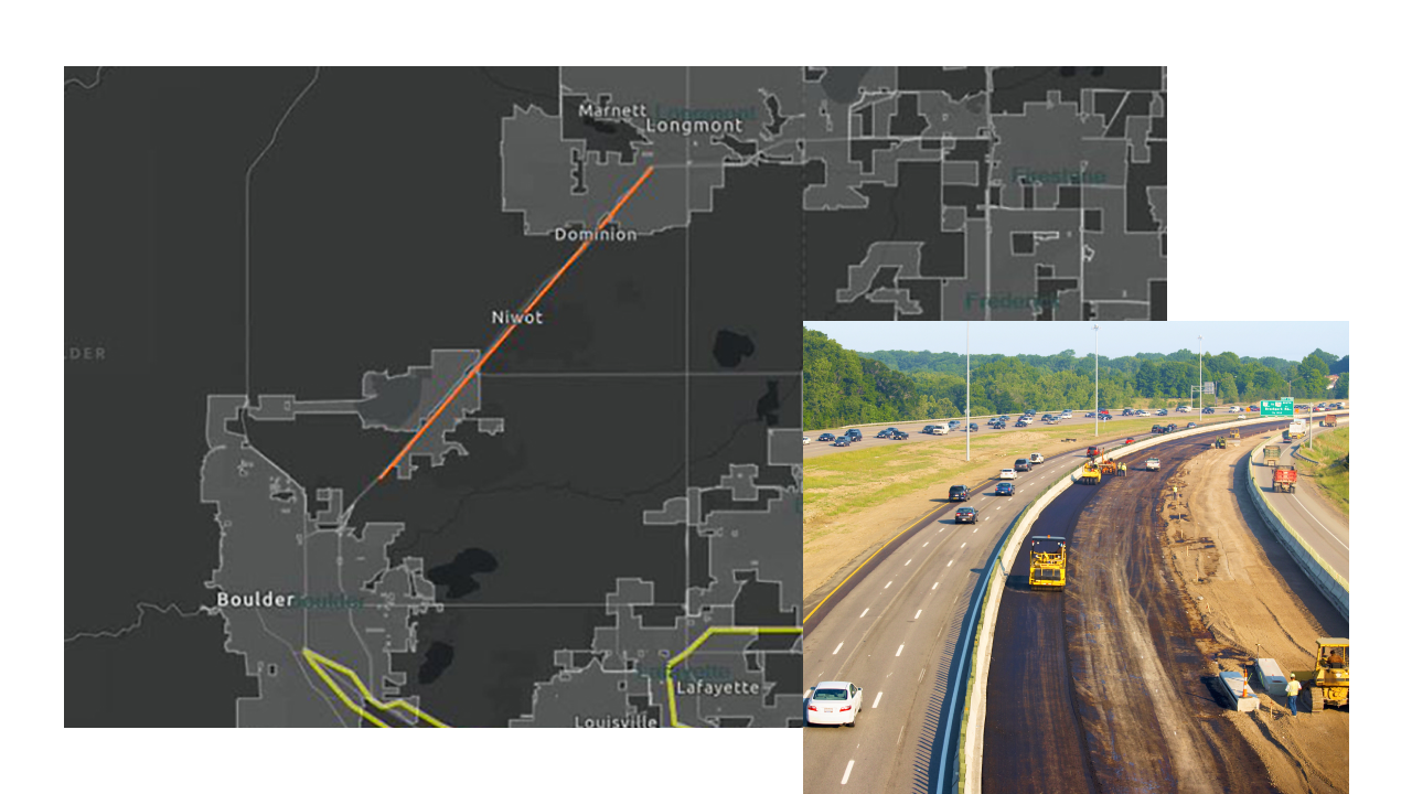
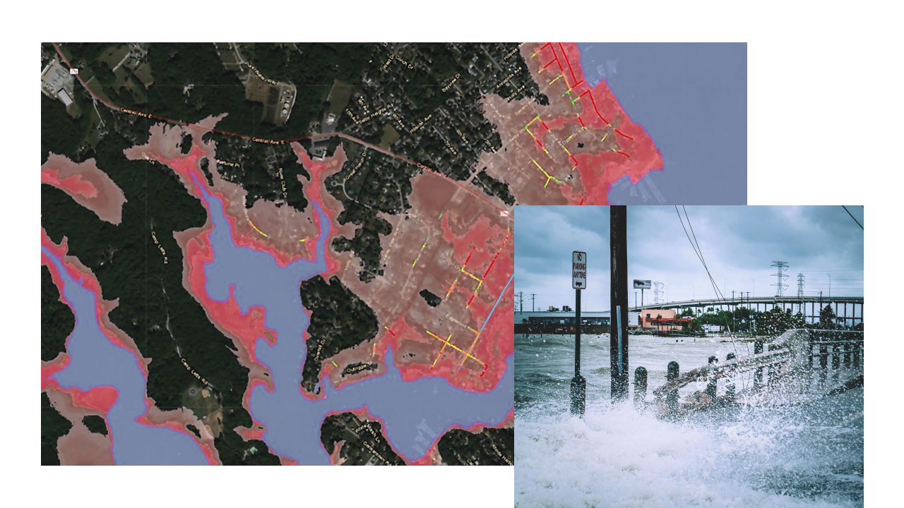
Make surface transportation resilient by supporting planning activities, resilience improvements, community resilience and evacuation routes, and at-risk coastal infrastructure.
Read the fact sheetEligible projects include improvements related to enhancing airport safety, capacity, security, and environmental concerns.
Learn about these grantsThis program provides funding for community projects that help reduce the number of deaths and serious injuries on highways, streets, and roads.
Learn about this programThe RAISE Discretionary Grant Program helps communities build transportation projects that have significant local or regional impact and improve safety and equity.
Explore the grant program
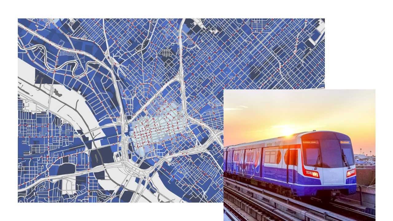
The Chicago Regional Transportation Authority (RTA) used GIS to understand and fulfill riders’ needs while enhancing the services they provide.

The Virginia Department of Transportation (VDOT) and Office of Intermodal Planning and Investment (OIPI) leveraged GIS to assist with the evaluation and prioritization of infrastructure projects across the state.

The Massachusetts Department of Transportation developed GeoDOT Local, a hub to connect the state to projects in cities and towns, which simplified the process of applying for and distributing infrastructure funds.

The Maryland State Highway Administration is leveraging GIS to show how small changes to existing processes improve infrastructure and help to prepare for the future.
Esri recognizes that the transportation industry must take bold new approaches to shaping our future. Understanding what is in front of us in a real-world setting will help decide whether we maintain and build infrastructure in the traditional fashion or if we need to shift our approach. By preparing today, we can envision how forward-thinking communities will thrive in the future.

For roadways to become safer for citizens, DOTs need to have an effective safety management program. By using GIS as framework professionals can be empowered with tools to design better programs to improve overall roadway safety.
GIS provides a framework to facilitate data sharing and collaboration, allowing agencies to share the same information and have the same understanding with respect to project definitions and assumptions. Plan and deliver more strategic infrastructure investments with GIS.
This webinar from the Aligning Your Programs with Federal Funding series focuses on expanding your use of GIS with federal funding to address transportation and transit needs.

Transform your transportation network with GIS technology to create more inclusive transportation systems and design policies that address historical inequities.
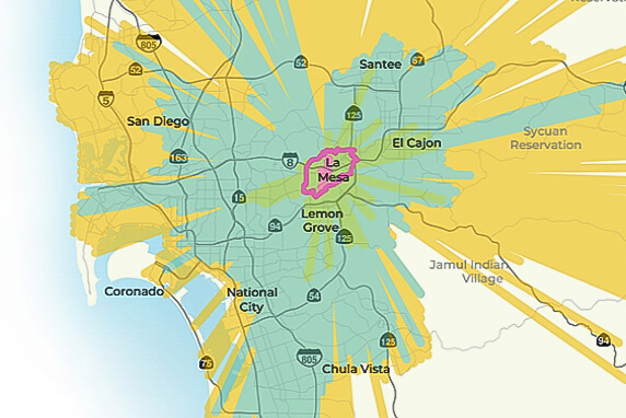
The San Diego Association of Governments' (SANDAG) vision, 5 Big Moves, addresses current mobility needs and long-term trends. GIS played a role in almost every element of SANDAG's planning process, improving the quality of life for its residents.

Location intelligence technology is helping the Metropolitan Transportation Authority (MTA) shift to data-driven budgeting, map its assets and maintenance needs, and give executives data to make better decisions. The transportation network encompasses hundreds of miles of track, more than 12,000 buses and train cars, and a staggering $1 trillion in assets.
Explore how Esri technology aligns with other funding objectives.