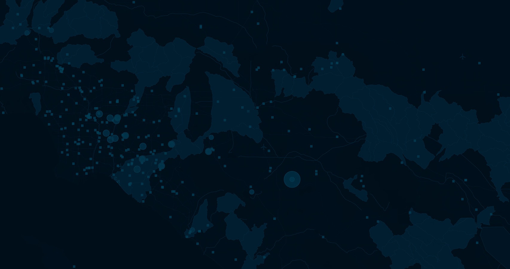
Skip to Content

Environment and Natural Resources

Apply GIS to your environmental initiatives

An aerial photo of a green tree-lined bridge arching over a highway running through farmland, overlaid with a city map

Gain a holistic view of environmental impacts

Human activity has an environmental impact. GIS is an essential tool for evaluating, visualizing, and designing solutions that reduce and mitigate negative impacts. Applying new federal funding resources in combination with GIS analysis, community members can be confident their projects are environmentally sustainable, equitable, and resilient.

Areas that GIS can support

Understand and mitigate projects' environmental impacts

Project planning always includes environmental review. Stakeholders must collaborate to ensure that reviews are conducted in a timely manner and with input from everyone. ArcGIS delivers a data-driven approach that gives your government staff detailed knowledge of a project's impacts, analyzes alternative scenarios, justifies strategies to reduce impacts, and empowers the community to provide local knowledge to inform results.

Assessments in South Carolina
A blue and green heat map of a suburb layered with a street map with routes in red and yellow, overlaid with a closeup photo of a brown turtle nestled in dry brown undergrowth

Catalog your green assets quickly

Understanding where green assets exist is foundational for all other environmental workflows. Delineate habitats and land use, quantify populations, predict species presence, and understand complex relationships and interactions. ArcGIS provides a geospatial infrastructure to inventory and manage biological data.

A 3D rendering of a large city park in green and white overlaid with an aerial photo of dense green treetops

Reduce environmental burdens on disadvantaged communities

Not all communities experience environmental impacts equally. ArcGIS allows stakeholders to see where vulnerable populations exist, measure which communities are impacted, and understand how they are impacted. These same tools can also be used to then determine where to target projects that reduce existing and future environmental burdens. 

Focus on environmental justice
An area map in light green and brown overlaid with a photo of four smiling children sitting in a row against a brick wall

Monitor assets in real time and maintain compliance

Everyone must ensure that they do their part to maintain clean land, water, and air. With so many outlets for pollution, it can be difficult to understand where pollution exists and how to stop it. With ArcGIS, entities can streamline existing workflows; take advantage of Internet of Things (IoT) data to monitor pollutants; maintain compliance to environmental standards; and provide transparency to the public.

Real-time visualizations
An area map with buildings shaded in red and blue overlaid with a ground-level photo of workers in white protective suits and visors conducting a soil test beside an apartment building

Maintain the health of your green infrastructure

Reducing fuel for wildfires, treating invasive species, and maintaining ecological stability for populations or habitats requires understanding the landscape, prescribing management plans, and measuring outcomes. ArcGIS allows organizations to identify vulnerabilities to natural hazards, prioritize management activities, and quantify their success.

Forest plan collaboration
A heat map in shades of orange and gold overlaid with an aerial photo of dense green forest treetops

Help communities implement sustainable practices

Many programs intend to target the communities that have the greatest needs, but getting the monies distributed equitably and efficiently can be a difficult challenge. ArcGIS can help program administrators communicate opportunities to communities, provide transparency on how funds are distributed, and easily report on their success.

Ensure equitable distribution
A map dashboard with an area map and many graphs and data points overlaid with a photo of large pipes dumping water into a rural gulley with hazy blue mountains in the background

Products for environmental initiatives

Previous
Next

Available funding programs

In addition to increased funding for existing programs, federal funding includes new programs to benefit the environment and, in many cases, expands eligibility to include nongovernmental organizations (NGOs) and nonprofits in addition to federal, state, local, and tribal agencies.

Natural Hazard Mitigation

This federal funding aims to reduce natural hazards, whether that's wildfire, drought, or flooding. Ensure that new infrastructure is resilient in the face of climate change.

FEMA Mitigation Investments

Clean Land, Air, and Water

This significant funding is for cleaning up pollution and preventing new pollutants from entering our air and water.

Read the EPA fact sheet

America the Beautiful Challenge

This program aims to preserve and restore habitats, improve community resilience, and provide access to the outdoors through nature-based solutions.

Apply for a grant

Safe Wildlife Passage

This funding is for reducing animal-vehicle collisions by developing wildlife crossings and improving passages in streams by removing barriers and improving culverts.

More on this program

Insight on how to use federal funding

  • A river winding through a lush green forest
    Ebook

    Aligning Federal Funding with Your Environmental GIS Initiatives

    With new federal funding resources such as the Infrastructure Investment and Jobs Act, communities can use GIS to ensure that projects are environmentally sustainable, equitable, and resilient.

  • A pile of oysters
    Industry blog

    Infrastructure on the half shell: Federal funding for oyster stew

    The coastlines provide the ingredients for delicious recipes and protect us from flooding and coastal erosion. GIS can help preserve them.

  • A river surrounded by green tree-lined shores
    Report

    Kentucky uses ArcGIS Hub to report on water quality

    The Kentucky Energy and Environment Cabinet's Division of Water used ArcGIS Hub to create an integrated report for the US Congress on the condition of water resources in the state.

  • ESRI BLOG

    Improving safety for wildlife and people on roadways

    Organizations and agencies can combine roadkill data and GIS analysis to know where collision-prevention projects will have the greatest impact.

  • : A photo of a rippling river flowing through a dry yellow field with a shadowy green forest in the background
    ESRI BLOG

    Maps help ensure equitable distribution of infrastructure funds in Montana

    Montana's Department of Natural Resources and Conservation employed maps and dashboards to add transparency to the distribution of American Rescue Plan Act (ARPA) stimulus funds.

  • A photo of a large shining blue solar panel in a sunlit green field with a cloudy blue sky overhead
    ESRI BLOG

    Finding a home for solar: Kentucky maps prime renewable energy sites

    GIS is empowering leaders in Kentucky to find safe, effective sites for new solar energy projects while protecting local communities and the environment.

  • A photo of a blackened forest floor strewn with ashy black tree trunks and scattered with dry yellow grass
    ESRI BLOG

    Wildfire restoration: Mapping a climate-resilient fire recovery plan

    A shared map enabled foresters and land managers to devise a collaborative and science-informed plan to reforest a California fire burn scar with the right mix of plants in the right places.

  • VIDEO

    Mapping to protect natural heritage and biodiversity in South Carolina

    The South Carolina Natural Heritage Data program documents habitats and threatened species to safeguard the state's uniqueness.

Previous
Next

Additional funded areas

Explore how Esri technology aligns with other funding objectives.

Previous
Next

Contact sales