ArcGIS Pro
The next generation desktop GIS supports data visualization, advanced analysis, and authoritative data maintenance.
Align funding programs with your health GIS initiatives
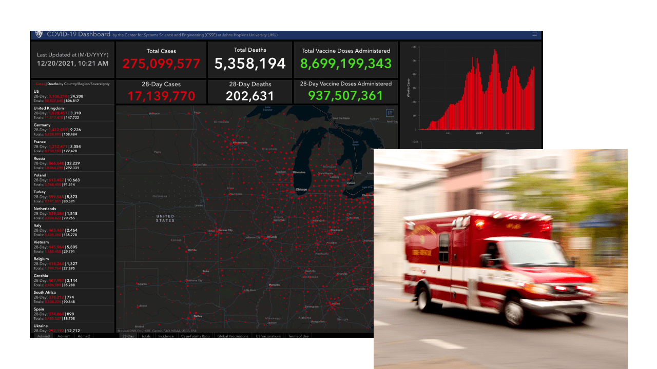
From COVID-19 response and recovery to increased resilience for facing the next crisis, GIS can help. Location awareness is essential to the architecture and infrastructure of a preparedness and response system and supports agencies with the following tasks:
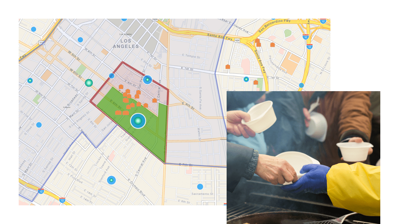
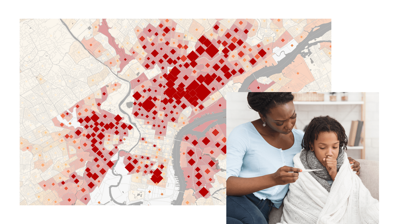
Challenging issues such as homelessness; drug addiction, including the opioid epidemic; and food insecurity have only worsened during the pandemic. Having a spatial understanding of how these crises impact your community is key to making data-driven decisions about where to prioritize resources. GIS provides capabilities enabling the following:
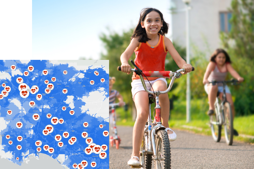
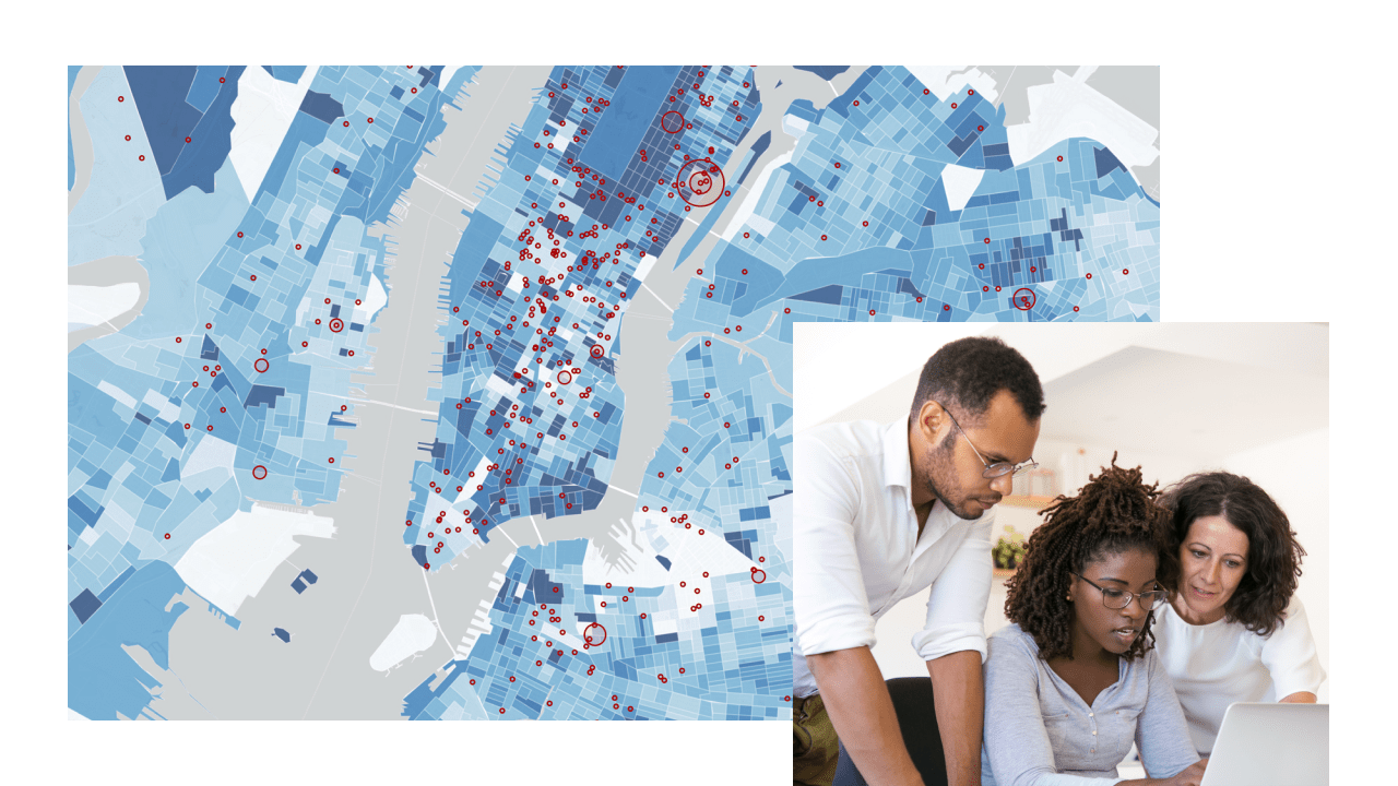
GIS technology helps uncover the social, racial, economic, and physical barriers to accessing health care and health-promoting services. Information that includes highly accurate travel times and distances is essential to ensure that no one falls through the cracks. Leverage GIS to
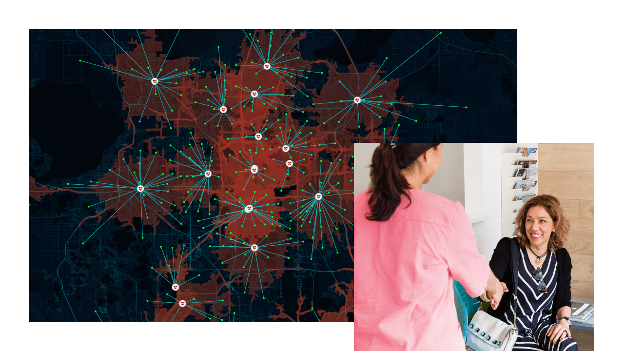
Health organizations are mission oriented and focused on preserving the length and quality of life for all. In addition to this overwhelming charge, they must also carefully control limited resources. GIS supports evidence-based planning to improve operations, manage assets, and chart goals for the future. Creating that future relies on possessing a clear understanding of demographic trends, knowing a way to handle complexity to make wise capital expenditures, using a balanced approach to territories and catchments, and having location-based infographics at your fingertips.
Everything about applying the geographic approach to health speaks to improving equity, including increasing access to care and services, performing gap analysis, and allocating resources based on need. A location-based strategy can help you assess health locally; analyze trends and anticipate future needs; share information with the public and solicit feedback; monitor performance against goals; respond to issues in real time; and, ultimately, achieve health equity.
The next generation desktop GIS supports data visualization, advanced analysis, and authoritative data maintenance.
Leverage demographic, socioeconomic, and lifestyle data with integrated workflows to create better, more strategic plans.
This web-based mapping and analysis software as a solution helps expand your work using other ArcGIS products that improve situational awareness, community engagement, and pattern analysis.
ArcGIS Solutions is a collection of focused maps and apps that reduce the time it takes to deploy location-based solutions in your organization. They leverage your authoritative data and are designed to improve your operations, provide new insight, and enhance services.
Explore health and human services funding opportunities that can support your GIS investment to meet public health, human services, and health-care organization needs.
The US Department of Health & Human Services provides guidance for coronavirus-related funding. Through the American Rescue Plan, many programs are hyperfunded.
Apply nowAddiction to substances is on the rise and the Substance Abuse and Mental Health Services Administration (SAMHSA) has numerous grants to support a course correction in the US.
Apply nowThis funding will be aimed at ensuring all communities have access to high-quality infrastructure, including broadband, to access critical services. Apply by June 2022.
Apply now
The City of Modesto received $3.8 million in Emergency Solutions Grants Program funds from the Coronavirus Aid, Relief, and Economic Security (CARES) Act to help address homelessness. With this additional funding, the city engaged with unsheltered individuals and built relationships with them to provide immediate support.

Identify programs where GIS could be useful so that you can advance your organizational mission and take advantage of current federal investments in the health sector.

Understand how to take advantage of American Rescue Plan (ARP) Act funding to invest in your GIS infrastructure and improve health workflows.
Explore how Esri technology aligns with other funding objectives.