Skip to Content

Geography and Government

A geographic approach informs policy, operations, and planning for improved decision-making across communities.

How do governments benefit from a geographic approach?

Government leaders take a geographic approach to shape priorities, policies, and engagement. Leveraging enterprise-grade geographic information system (GIS) technology, they use maps, apps, analytics, and dashboards to manage issues such as equity, economic development, transit, land management, health, and safety.

Heat map of traffic accidents in Munich, shown in a 3D view

Build intelligent, resilient infrastructure

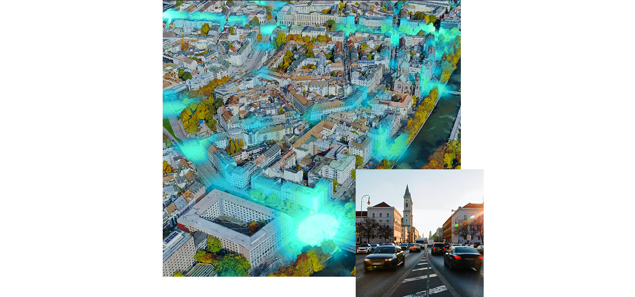
Key to upgrading critical assets is understanding how infrastructure relates to communities and natural systems—what is happening where. Infrastructure systems are being infused with technologies including GIS, digital twins, sensors, and advanced analytics.

  • Asset and network management: Monitor asset location, condition, performance, and life cycle.
  • Planning and logistics: Share information to prevent disruption.
  • Operational awareness and efficiency: Watch workflows in real time.
  • Prioritization and equity: Reveal patterns of inequality.
Person in a safety helmet planning infrastructure upgrades on a tablet, with a map view of asset locations

Respond to disasters and prepare for climate change

Geography is a powerful tool in response and risk mitigation, empowering government leaders to anticipate weather events and climate impacts and plan accordingly.

  • Monitor situations in real time.
  • Track incidents and resources.
  • Know the status of vulnerable people and assets.
  • Model scenarios to aid prevention and response. 


A map representing the tracks of hurricanes since 1851

Spatial analysis informs data-driven planning

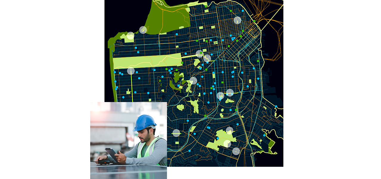
A geographic approach to government supports agility. Leaders of smart cities and counties use GIS to prioritize infrastructure investments and optimize planning and policy decisions, such as where to create sustainable housing or green space.

  • View of Orlando cityscape with skyscrapers and water
    Case study

    A Geographic Approach Makes Orlando a Smart City

    Orlando city staff worked to clearly define, elevate, and embrace initiatives that would help them meet community challenges more effectively.
  • A view of Los Angeles city skyscrapers
    Esri Blog

    Open Data Boosts Collaboration in Los Angeles

    Los Angeles has long been a leader in open data and taking a data-driven approach, and mapping is often the way it approaches problems.
  • Aerial view of trucks outside a logistics warehouse
    Esri Blog

    Maps of Contamination Focus City Redevelopment

    Regional planning around Bridgeport, Connecticut, focuses on revitalizing industrial sites to fill gaps in the supply chain and manufacturing.
  • A digital representation of a city showing potential projects overlaid on existing buildings.
    Esri Blog

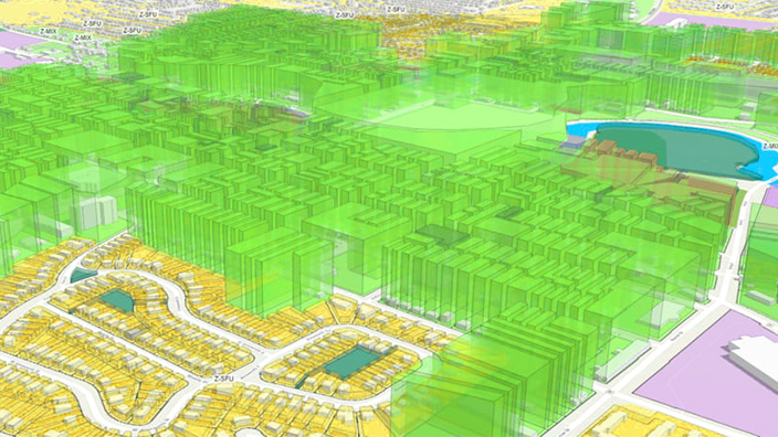
    Digital Twin Helps Visualize Revitalization

    Regional planners in Detroit, Michigan, apply 3D GIS tools to forecast growth, communicating important details to partners and the public.
Previous
Next

Maps inform planning and recovery

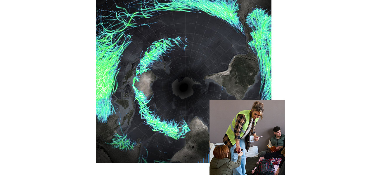
Geospatial analysis highlights risks to create a base of knowledge for improving safety and mitigating threats. Officials use a geographic approach to government to enhance collaboration across departments and support recovery efforts.

  • Sign at the entrance to the Tham Luang cave with the flags of countries above it who assisted in the rescue
    Esri Blog

    Thai Cave Rescue Exemplifies Collaborative Action

    Using maps, rescuers collaborated and combined knowledge about the cave system and cave diving to devise a rescue plan that ultimately succeeded.
  • A river flowing through mountains
    Esri Blog

    Preparing for Climate Change with City Simulator

    Boulder, Colorado, gained a new understanding of infrastructure and resident vulnerabilities from Atkins' City Simulator and GIS technology.
  • A large plume of wildfire smoke rises behind trees and a lake
    Esri Blog

    Real-Time Wildfire Awareness Emerges

    With wildfire size and damage growing, a near real-time awareness helps the public stay informed and improves the coordination of firefighters.
  • Bridges over a river in Prague
    Esri Blog

    Extreme Heat Events Spur Climate Action

    Prague planners use modern mapping tools to assess vulnerability to climate change and mitigate against extreme heat events.
Previous
Next

Contact us

Find out how a geographic approach can elevate your organization's work.