Rick Husband Amarillo International Airport
Explore how smart airports use GIS and connect with Esri staff and partners
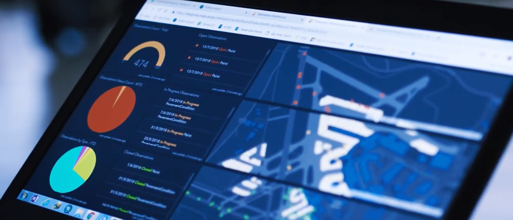
Dublin Airport uses many ArcGIS capabilities—from decision support, collaboration, and field mobility to data management and spatial analytics.

See how smart communities are using Esri software and services to make better and faster decisions. Mailed four times a year.
A quick email collection of stories about GIS in government trends, and highlights. Arrives in your inbox ten times a year.
Contribute your success stories and tell others about GIS technology solutions.
Esri User Conference | July 14–18, 2025 | San Diego Convention Center | San Diego, California

Instructor-led and self-paced options help individuals apply best practices and quickly learn ArcGIS software. Esri training consultants provide complimentary planning services to identify the options that will best meet an organization's immediate, short-term, and long-term workforce training needs.

Sign up to receive the latest news, updates, and helpful tips for transportation professionals.