Esri Young Professionals Network (YPN) is proud to feature Faces of YPN, an article series highlighting professionals entering geospatial technology careers. In this series, we interview young pros from various sectors and work environments to learn the following:
- How they use geographic information system (GIS) technology in their career
- What they love about GIS
- How they got their start in GIS
- What advice they’d like to give to other young professionals
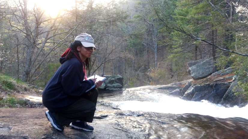
Our next Faces of YPN interview is with YoLani Martin, a geospatial analyst for Dewberry Engineering. She produces datasets used in emergency management analysis and runs machine learning models to predict damage to buildings. Her passion is applying GIS to humanitarian initiatives and participating in initiatives for the Humanitarian OpenStreetMap Team, YouthMappers, and the Healing Yemen project.
GIS is a tool to help share stories and think critically about how they’re being told. I love that GIS gives people a better understanding of their communities and can encourage others to shape their surroundings for the better.
Below is our Q&A interview with her.
Q: What do you love about GIS?
A: What I love about GIS is that it gives people a better understanding of their communities and can encourage them to shape their surroundings for the better. GIS is a tool that not only helps one share stories but rather makes them think critically about how they’re telling the story.
Throughout my career and education, GIS has been a versatile tool in many fields. I’ve had the pleasure of applying GIS to geological mapping, historical archiving, web apps, graphic design, and so much more. One of its greatest applications is to humanitarian initiatives. Despite all the data that is discussed in news, there is still so much spatial data that communities lack. I’ve participated in many initiatives to collect and edit critical data for remote communities through the Humanitarian OpenStreetMap Team; collaborated and developed training workshops with YouthMappers; and have even started my own projects to bring awareness to issues, such as the Healing Yemen project [a website project with resources dedicated to discussing the civil war in Yemen and how to get involved in awareness].
Q3: How did you get your start in GIS?
A: I was first introduced to GIS when I was a senior in high school. I had a science teacher [recommend that GIS would] be a good fit for me. It was a course that really challenged me because I usually get things right off the bat. We had some freedom in the projects we got to research, and through the course of that, I was able to see the many humanitarian applications that GIS had. It was very inspiring to see [that] maps and data can really make an impact—especially [in] remote and rural communities. That sparked an interest, and I carried that throughout college and [now] find different ways to bridge GIS wherever I can. I double majored in geography and geology and did a GIS internship in college. Now I am mapping away at Dewberry.
Q: How are you using GIS in your current role?
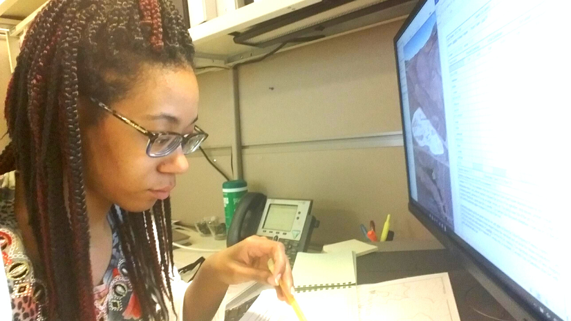
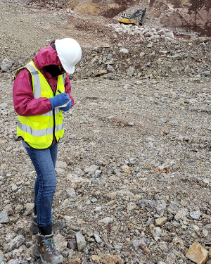
A: I wear many hats. One of my responsibilities is remote sensing. Through a remote sensing lens, a lot of my duties involve performing quality assurance, performing quality control over orthoimagery (the imagery we receive from different clients). One of which is the Pennsylvania Emergency Management team—we review their imagery—so they have up-to-date images for next generation 911 emergency management.
We also use imagery for our lidar projects. Through those projects, we do a lot of lidar editing and cleaning up of data that we acquire from in the field. We might edit point cloud data, collecting break lines and editing them to ensure we develop bare earth digital elevation models.
I also helped develop web application tools for clients who need another way to manage their projects. Some of this is through ArcGIS Experience Builder and ArcGIS StoryMaps to better communicate some of the data quality that we control through lidar. I also help develop internal cartographic materials as well, on a request basis.
Q: What GIS projects have you worked on?
A: The geography club that I was a part of at George Mason University was a local chapter of YouthMappers, where we would work together to collect open-source data through OpenStreetMap, with the Humanitarian OpenStreetMap Team. We would schedule different map-athons to develop different maps for communities in need.
The Healing Yemen project was a personal project of mine that I started in the beginning of 2020. I started noticing a trend in topics related to Yemen, asking, Where is Yemen? Having a geography and geospatial background, seeing this where question pop up was a big indicator of a gap [in] knowledge [of] location. Once you understand the where, you start to understand why certain events are happening in specific areas.
Going off that knowledge and background of different courses, I started to reach out and consolidate resources specific to Yemen. During this consolidation, I developed a resources hub for people to go to so that they can educate themselves on the crisis and details of where they can go to provide support to this area or just begin to have the conversation about what we could do to help support them.
It was about taking all the resources out there on specific projects and consolidating them into a website where you can find reading materials and video links. With all those resources in one place, you can take a step back and see where we can fill in gaps or start talking about where we can better provide support.
Q: Did you do any GIS internships in college?
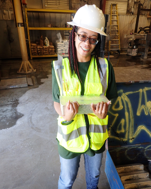
A: Yes, I held an internship with the [Department of the Interior] Bureau of Land Management as a geology and GIS research assistant. My responsibilities were developing infographics to better communicate what the division salt and minerals were. I was incorporating different data visualizations and geospatial visualizations. I was working on geodatabases for field specialists to better manage and have access to different minerals through a geospatial lens.
Q: Did you have a mentor, and was it impactful?
A: Yes, I had a mentor during my internship at the Bureau of Land Management—my immediate supervisor would always check in on me. One of [the] things that he said to me that I still carry with me today was, “Never say you’re bad at something.” For example, I said, “Sorry I’m taking so long; I’m bad at math,” where he replied, “You’re not bad at math; it’s a skill you’re improving.” Those words stuck with me and [now I] look at something from that perspective. He’s been a tremendous influence [on] my career and self-confidence and an all-around amazing mentor.
It can be intimidating to try and ask, Can you be my mentor and share your knowledge, because I need guidance. If emerging young professionals are struggling to find that mentor, don’t be afraid to send that email, because it’s worth it. Or if you happen to bump into a potential mentor at a conference or school event, you can put yourself out there by saying, That was a great talk you gave; I would love to learn more about it. Would you be open to connecting and talking more about this over a cup of coffee in person or [virtually]?
Q: What training would you recommend to other young pros?
A: I would recommend the Esri training courses because they are phenomenal. The Esri MOOCs [massive open online courses] are a great resource as well.
Q: How do you see yourself using GIS in the future?
A: Looking ahead, I would really like to use GIS and geography to better communicate what seems complex on paper and turn it into a visual representation. I am very much interested in using GIS for humanitarian purposes and communicating the why of what is happening—not just humanitarian but local communities as well that need to have their stories told.
Q: What advice do you have for students and young pros?
A: My best advice to other emerging professionals is that if there is something you are passionate about or you have an idea that seems too difficult to achieve—do it. Break your ideas down into smaller, more manageable steps and work from there. Maybe you don’t have many resources at your disposal, but if you believe it’s an idea worth pursuing, use what you do have as a starting point. Being resourceful is all a part of GIS as you research and develop data.
It’s never too late or too early to learn new skills regardless of what stage of your career you’re in. Often, it feels like you’re more behind than you are ahead when you’re trying to build your expertise. If you’re interested in learning something new, take your time and explore those skills. Invest in yourself because you deserve to learn and grow.
If something is taking you a long time to work, try and accept that it’s perfectly okay and just continue to go at your own pace—especially in the technology field. It’s very easy to compare the pace of your projects to others. Once you start doing that it, negative thoughts can begin to snowball. So if you encounter that, it’s crucial to take a step back and reflect on how far you’ve come—that and the fact that you’re taking an initiative to take on this question is a huge win for yourself. Just remember that this research or project is special because you’re doing it, and no one else is going to have that exact curiosity and passion that you’re bringing to that project.
You can learn more about Esri Young Professionals Network on our web page.
Check out these additional resources for students in higher education or young professionals entering geospatial technology careers:
- Esri Community—Young Professionals Network (blogs, events, discussion)
- Esri YPN LinkedIn group
- Esri training courses
- Esri Technical Certification Program
- Esri student programs including internships and assistantships
- Esri recruiting events