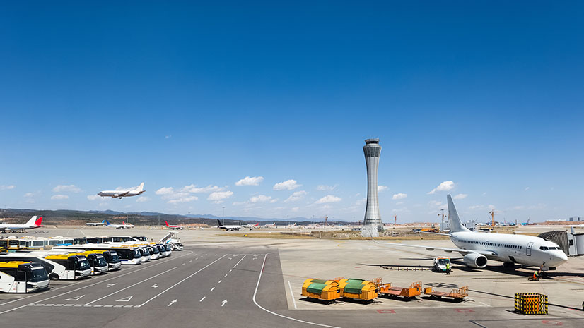
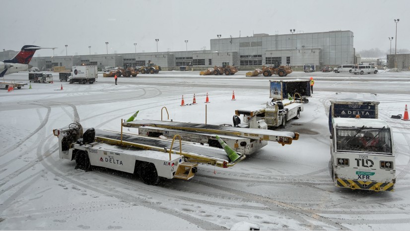
It only takes a few minutes at curbside for convenience to turn into congestion and chaos. A rideshare driver waits for a passenger who has not yet arrived at the pickup. A family stops in the active lane to unload luggage. A hotel shuttle lingers longer than expected waiting for aircrew. Within moments, vehicles stack up, officers begin waving traffic forward, passengers become frustrated, and the terminal roadway starts to crawl. What looks like routine curbside delays quickly become a hectic safety or security concern, a customer experience problem, a revenue issue, and an operational bottleneck.

The result is a growing challenge: airports must move more people, vehicles, and commercial operators through a limited curb space while maintaining safety, improving the customer experience, supporting sustainability goals, and protecting non-aeronautical revenue. For airport decision-makers, this is not simply a roadway issue. The curb is a first impression, a safety zone, a commercial marketplace, and a data-rich operational environment.
When it functions well, passengers may not notice it at all. When it fails, they feel the effects immediately through delayed drop-offs, confusing pick-up locations, frustrated drivers, and longer queues that ripple backwards into the terminal roadway network. As public transportation buses, hotel shuttles, commercial vans, autonomous vehicles, and private cars converge at terminal choke points, airports need more than manual observation—they need data-driven curb intelligence.

The Curb – a Limited Asset with Growing Demand
Airport curbs were not designed for today’s transportation mix. Historically, the curb was dominated by private cars and cabs. Over time, airports added hotel shuttles, rental car buses, commercial operators, limousines, and other ground transportation services. More recently, rideshare services – Uber and Lyft changed travel behavior, making curbside pick-up and drop-off easier, more frequent, and at the same time, harder to manage. That shift has created a supply-and-demand problem. The number of users competing for access to the curb keeps growing, but the curb itself has not.
Without major capital investment, airports cannot easily expand terminal frontage, add lanes, or redesign roadways. When vehicles dwell too long, the entire system slows down. A car that sits for ten minutes occupies space that could have served several vehicles during the same period. Multiply that by hundreds or thousands of trips per day, and the impact becomes significant. Long curb dwell times affect more than traffic flow. They can create safety concerns, especially when vehicles are left unattended. They can increase congestion on airport roadways, delay passengers, and reduce the time travelers spend inside the terminal where concessions and retail activity generate revenue. Idling vehicles also add emissions, which matters for airports working to improve sustainability and meet resiliency goals. In short, curb performance has become a cross-functional issue affecting operations, safety, finance, planning, customer experience, and environmental stewardship.
The challenge is especially difficult during peak travel periods, irregular operations, construction phases, and major local events. A curb that performs adequately on an average day can quickly become overwhelmed when flight arrivals, weather disruptions, event traffic, and staffing constraints converge. In those times, airports need a shared location-based operating picture that helps teams see and understand what is happening in real time and respond before congestion becomes unmanageable.
Manual Enforcement Isn’t Enough
Responding to curb congestion by adding enforcement officers who encourage drivers to move along has limitations. This addresses immediate safety concerns and provides a visible reminder that the area must keep flowing. It remains important, but relying only on manual enforcement creates limitations. Officers cannot see everything all the time. They may not know exactly how long each vehicle has been parked or have immediate access to whether a commercial operator is permitted, whether a rideshare trip was properly reported, or if a vehicle repeatedly appears in a restricted area. In some cases, airports depend on self-reported information from third parties or on systems that require physical transponders in vehicles. Those tools can help, but they may not provide a complete or independently verifiable picture.
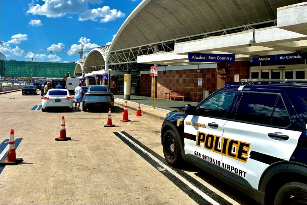
What airports often lack is a map-centric, common operations picture (COP) fed by continuous, objective data about curb activity: which zones are occupied, how long vehicles stay, which operators are using the space, when violations occur, and where congestion patterns emerge. Without that information, curb management can be random and reactive. With it, airports can proactively manage the curb as an intelligent asset. Geographic Information Systems (GIS), Geospatial Artificial Intelligence (GeoAI) and computer vision support this need.
GIS Turns Curb Activity into Intelligent, Actionable Data
GeoAI fuses AI with geospatial data and technology. Integrating GeoAI and computer vision with ArcGIS offers an innovative and practical way to close data and information gaps. At a basic level, cameras observe the curb and object detection models interpret what appears in the field of view. GeoAI and computer vision are trained to recognize vehicles and read license plates where appropriate. It can identify characteristics such as vehicle type or color and understand how those vehicles move through defined areas. Those defined areas are essential.
With the tools and analytics built into the system, airports can map virtual boundaries of areas over the real curb, creating a digital “geofence” around a loading zone, commercial lane, accessible area, or passenger drop-off space. When a vehicle crosses the fence and enters that zone, the system starts measuring time. If the vehicle remains there longer than policy allows, it can flag the event. Different zones can have different rules, allowing airports to tailor policies to the way each curb area operates.
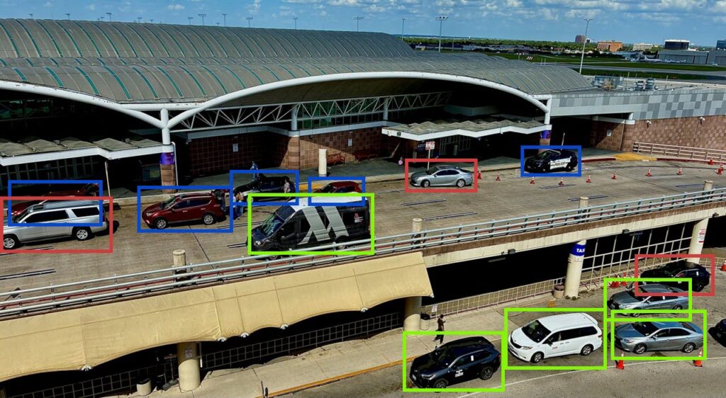
Powered by deep learning models, this intelligent, geo-centric system can also distinguish between different types of activity. A private vehicle making a quick drop-off may require a different response than a commercial operator staging in the wrong location. A shuttle making a scheduled stop requires a different rule set than a vehicle left unattended in an active loading zone. With this system, by linking observations to location, time, and policy, airports move from generalized, reactive curb monitoring to more precise, proactive curb management.
From Observation to Action
The value of GIS-based curb intelligence is not just that it records activity. It helps decision-makers act. If a vehicle exceeds the allowed dwell time, the system can automatically send “push notifications” to an officer, who can approach the driver with a friendly request to move along. If the vehicle leaves, the issue is resolved quickly and safely. If the driver does not comply, the event can be documented for follow-up based on policy. This approach supports what many airports need most: behavior change without unnecessary friction. The goal is not to punish drivers. It is to keep scarce curb space turning over, reduce congestion, improve safety, and ensure enforcement is based on consistent information rather than subjective judgment.
Equally important, this system improves coordination across departments. Operations, landside managers, law enforcement, customer experience staff, parking teams, commercial ground transportation coordinators, and planning groups see the same curb from different perspectives. A single source of trusted data, accessible on a map inside GIS helps those groups align around one source of truth, understand trade-offs, and make decisions that balance safety, efficiency, revenue, and service quality.
Protecting Revenue and Improving Accountability
Curb intelligence also helps reduce revenue leakage. Airport parking is an important source of non-aeronautical revenue but rideshare has changed how passengers go to and from terminals. When a traveler chooses rideshare, there is lost revenue. Airports recover some value through commercial operator fees, but only if activity is accurately collected, reported, verified, and reconciled.
Supported by GeoAI, analyzing curb activity data collected via computer vision and stored in ArcGIS, gives staff the ability to cross-reference this data with permitted operator lists, trip records, and ground transportation systems. Automated workflows identify discrepancies. A vehicle that appears repeatedly in a commercial zone but is not registered as an approved operator may warrant attention. This is a reliable basis for compliance, giving airports data-driven visibility into how their curbs are being used.
That accountability supports more productive conversations. Rather than debating anecdotes or isolated observations, this information can be used for planning and future decision-making. Rendered on a map and connected to ArcGIS Dashboards, managers can see where demand is rising, where dwell times are excessive, where operators may need additional staging space, and where policies may need to be changed. The result is a more transparent, always on, location-based operating environment for both the airport and the transportation providers serving the airport and passengers.
Turn Curb Data into Better Planning
Real-time alerts and visibility are only part of the value. Over time, curb data becomes a powerful planning resource. These tools and technology can be used to visualize, analyze, and understand occupancy, turnover, dwell time, violation patterns, peak demand, and zone utilization. Users can see when and where curb space is underused, when it is overwhelmed, and if policies may need to change. Because curb activity is inherently location-based, GIS helps make sense of this information. Across time, curb activity data can be mapped, visualized, and analyzed spatially. Heat maps reveal recurring congestion. Dashboards show current occupancy and compliance. Seeing and understanding historical trends support staffing decisions, capital planning, roadway redesign, cell phone lot strategies, commercial vehicle policies, and sustainability initiatives.
For airport planners, this is especially valuable because major infrastructure decisions require evidence. Instead of relying only on periodic traffic studies, these tools produce a continuous record of curb performance. That insight helps determine whether the airport needs more curb space, different allocations, improved signage, adjusted enforcement, better staging areas, or revised policies.
Building Trust Through Governance and Privacy
As with any technology that observes public activity, governance matters. Airports must be clear about what data is collected, why it is collected, how long it is retained, and distributed. The purpose should be tied to legitimate operational needs: safety, congestion management, commercial compliance, planning, and customer service.
Responsible implementation also requires coordination with legal, privacy, security, IT, and operations stakeholders. Policies should define how alerts are sent and reviewed, how enforcement decisions are made, and how data is shared and protected. When governance is built into the program during design and implementation, airports gain the benefits of location-based curb intelligence while maintaining trust with passengers, operators, staff, and community partners.
An Intelligent Curb Supports a Better Airport
The airport curb may look like a simple place where vehicles stop and go, but it is a strategic operational asset. Activity at the curb influences safety, passenger satisfaction, emissions, roadway performance, revenue, and long-term infrastructure planning. As demand increases and transportation choices continue to evolve, airports need better tools to understand and manage this space. Computer vision, AI, location intelligence, and ArcGIS-enabled analytics give airports a better way to see the curb clearly. These tools transform vehicles and dwell time into data, data into insight, and insight into better decisions. For airport leaders, the takeaway is straightforward: the curb is no longer just a traffic problem. It is an opportunity to improve operations, protect revenue, support sustainability, and deliver a smoother experience for passengers and drivers alike.
Tally-ho! Traffic In Sight…