Imagery as a Critical Asset for Modernization
As government organizations feel increasing pressure to upgrade systems and reduce costs, interest in launching new initiatives that enable remote access, reduce duplication, and automate workflows is on the rise. Imagery is a critical enterprise asset for this type of modernization work, and it also provides the massive amounts of data necessary to drive the robust AI solutions of the future. To achieve these goals and harness the potential of AI solutions in the future, organizations will need to modernize their GIS with imagery.
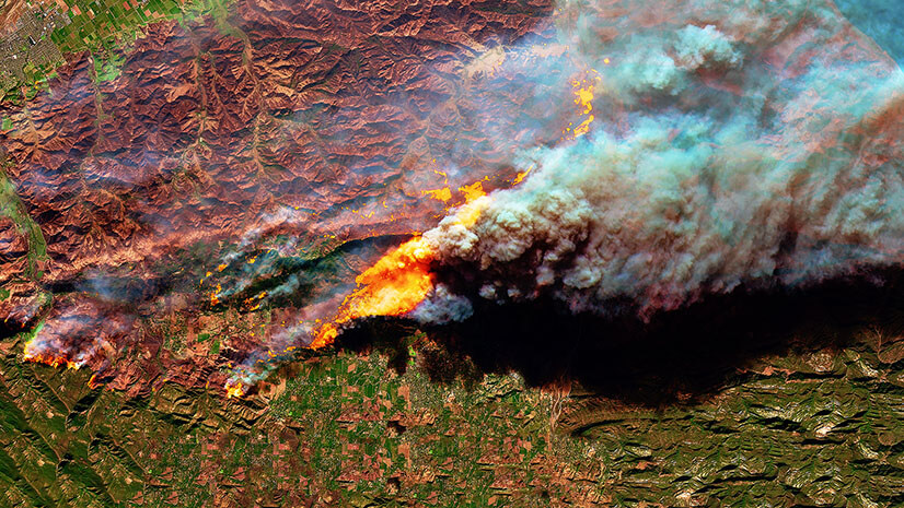
As the possibilities of imagery for AI continue to emerge, the geospatial community is experiencing a surge in the amount of imagery data entering the market. Many leaders are unaware of exactly how much imagery data AI models need to provide accurate and reliable results. Not only do you need billions of pixels, but you need those pixels to be collocated and accessible to these algorithms. Another important development is that cloud-based computational environments have enabled the initial processing of raw sensor data before initial product delivery, providing analysis-ready data and imagery-derived insights directly to users. With these industry changes at play, the challenge for federal government workers in harnessing the power of imagery is to understand how to bring all the various data sources together to fuel automation and streamline decision-making. If you’re a federal employee working in the geospatial field, this blog offers some suggestions to help you think about how to modernize your GIS with imagery.
Identify and Cloud Enable the Imagery You Have
A modern GIS is “interconnected, intelligent, and user-friendly,” and a consolidated imagery repository is a critical component that supports scalability, accessibility, and collaboration. The data you use for decision-making is only useful if it is available and searchable across your entire enterprise. As you begin to evaluate your organizational data, you will probably discover a lot of redundancies. By addressing data duplication, especially with larger-sized imagery files, you can lower operational costs and reduce complexity and improve the usefulness of that data for you and your team.
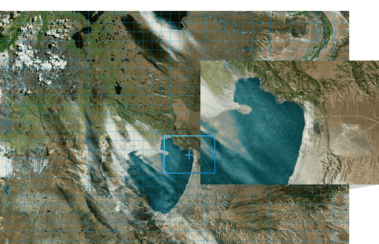
This assessment is often done in parallel with building an enterprise imagery repository. One approach is to compile disparate imagery into virtual datasets to enhance performance. These layers can help you efficiently browse, filter, and manage large datasets without the delays that come with loading individual files from disk. It’s helpful to work within these image extents first as “footprints” and dynamically load the actual data as you visualize it. This makes working with large image repositories more manageable as you only load the data where you need it. Once these files are cataloged, you can build a dashboard to automate data metrics to help you interactively assess your holdings and determine where you may have additional data needs.
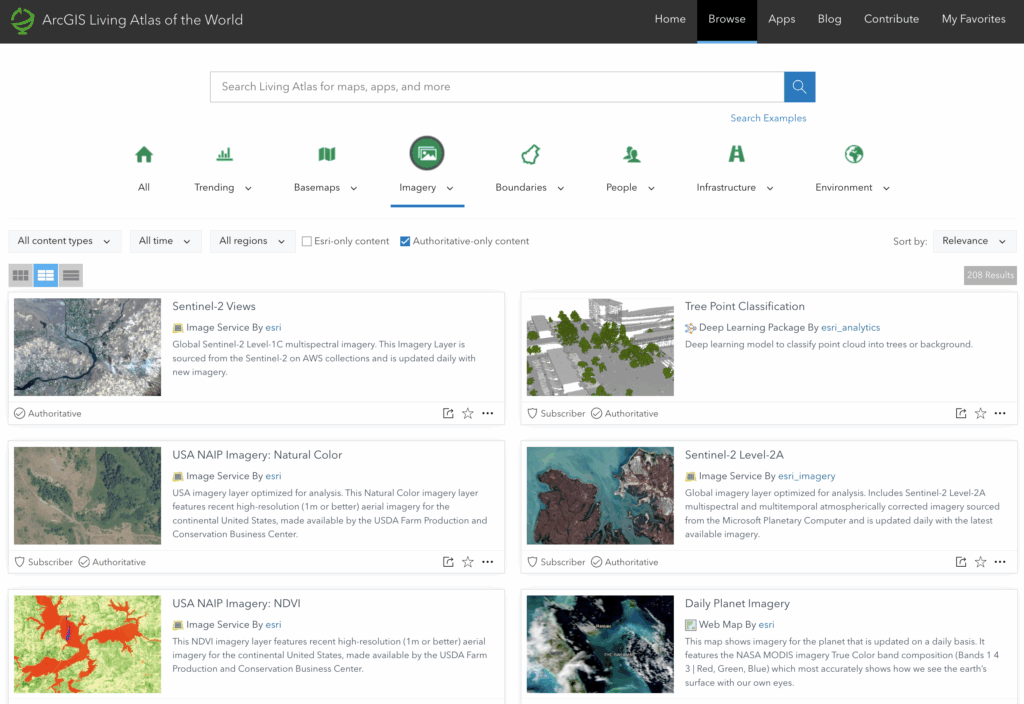
Incorporate Existing Imagery Data from Authoritative Sources
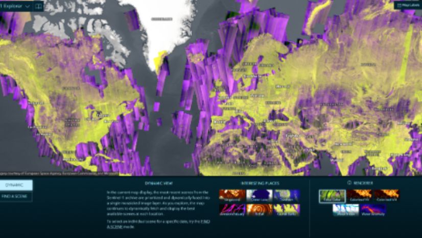
You may find that your own data holdings are not enough to drive the analysis and automation you need. There are a variety of other external image sources you can leverage to enrich your imagery data holdings. Staying true to an enterprise imagery approach, you should look to leverage data easily integrated via image services. There are a variety of external sources that you can connect to your existing enterprise today, including ArcGIS Living Atlas of the World, government data providers, and open-source holdings. Many of these organizations provide data at no cost and provide APIs or STAC connections to enable your enterprise access.
When You Need It, Specialized Imagery Is Available
Don’t be afraid to consider commercial data sources. Although they come at a cost, these data providers have evolved their purchase systems beyond traditional subscription-based plans. You can find aggregations of commercial data through a single purchase platform managed by one data broker. This means only one access point for acquisition versus the individual contracts that were required in the past. You can even prepurchase imagery credits for future use, giving you the flexibility to select specialized data sources project by project, and only for the area you need. This greatly reduces your acquisition costs by lowering contracting overhead and limiting the unused data that often comes with a subscription plan.
Where to Go Next
For government organizations, modernizing your GIS with imagery is more than a technology upgrade; it is a mission enabler. This strategy involves building an imagery foundation that supports smarter decisions and stronger collaboration. By consolidating and cloud enabling your imagery, you reduce duplication, strengthen data reliability, and ensure that critical information is accessible when and where it is needed. A web-connected enterprise imagery system can unlock the full potential of your data, while preparing your teams for the AI-powered capabilities that will fuel tomorrow’s GIS.
ArcGIS, Esri’s comprehensive geospatial platform, provides a robust end-to-end solution for organizations to manage imagery, prepare it, analyze it, and integrate the results within one connected platform. Visit our Image Management page to learn more about what’s next for your organization’s GIS modernization journey.