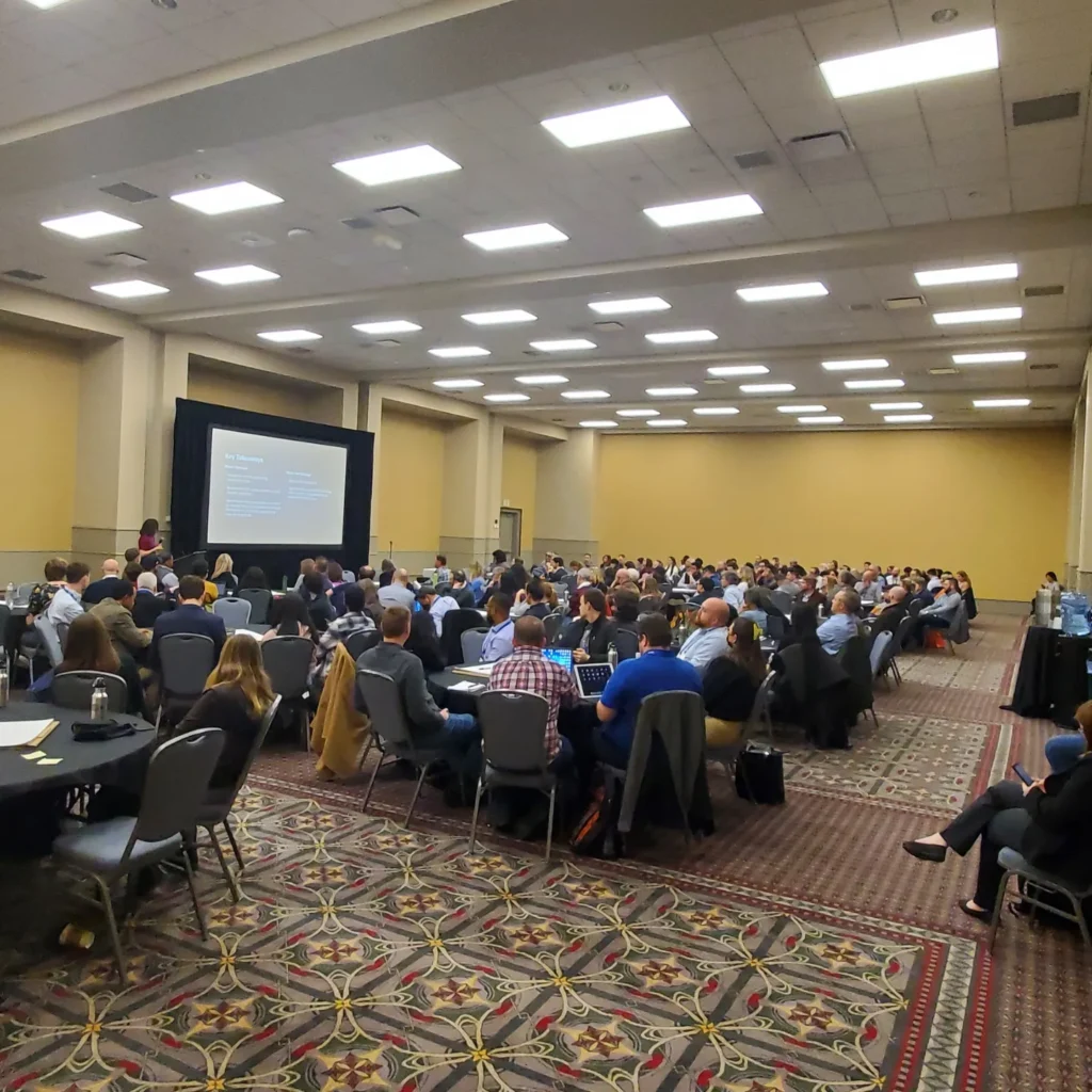
From April 13-16 thousands of planners from across the country will converge in Minneapolis for the 2024 National Planning Conference. As we have for the last three decades, Esri will be there to continue to support planning professionals and students as a Gold sponsor. Here’s a quick overview of how we’re supporting APA and its members at NPC.
Esri in the APA Hub
The easiest way to meet with us is at booth 603 in the APA Hub area from 10:00 – 5:00 Saturday through Monday. As we had last year, ArcGIS Urban’s product manager, Silvia Casas, will be in the booth with two outstanding Professional Services team members, Christine Ma and Sydney Rich. Over the last year, this team has implemented some incredible (and repeatable) planning projects using GIS, from fiscal analysis to housing policy to downtown redevelopment and more. This is an excellent opportunity to sit down with our staff to lay out a plan for how to best leverage GIS in your planning initiatives. We will also have Esri staff to demonstrate the latest in planning platform.

I always feel like a broken record when I say this, but it bears repeating. Esri does not run a planning department on the side. My colleagues and I have a great deal of planning experience, but we are always wanting to hear from the planning community at NPC. We never tire of learning what planners are struggling with to better help us understand which proven or new approaches we can take to help tackle these challenges.
About 2,700 APA members took advantage of our software donation last year, so I will be there to demonstrate how GIS can access and analyze demographic and socio-economic data. We will also be showing how GIS can optimize and automate numerous common workflows in the planning department and how GIS is an integral part of civic inclusion. We’ll also have an obnoxiously large touchscreen display where you can generate demographic and other reports for your city, county, or project area.
Must-See Sessions for the Modern Planner
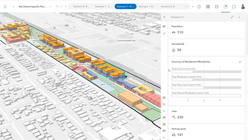
Esri will be involved in a very innovative session on Sunday at 1:00 in Room 205 (A-D) entitled Mapping the Fiscal Dimensions of Land Use Policy. Christine Ma will be presenting with Edith Smith from the City of Fresno and Luke Foelsch from Economic and Planning Systems to show how GIS is an integral part of understanding and analyzing the fiscal impacts of development decisions.

On Saturday at 11:00 am in Room 200 (F-J), award-winning Esri partner Houseal-Lavigne will be presenting Managing Rapid Growth in Environmentally Rich Regions with Longinos Gonzalez, Jr. of El Paso County, CO. This is a story we highlighted last year, and is an innovative, relatable, and repeatable way to leverage GIS for a revamped comprehensive plan.
Finally, on Monday at 11:30 in Room 102 AB, Esri partner ViewPro will be presenting Expanding Informed Decision-Making with ArcGIS Urban. This will highlight a modern approach to implementing data-driven planning and design using ArcGIS Urban. This will help provide a better understanding of the necessity and benefits of applying a digital twin.
Announcing the Inaugural Esri Planning Directors Summit
This November 6-7 in West Palm Beach, FL, Esri will be hosting our inaugural Planning Directors Summit. The event is exclusively for planning and community development directors to gain a high-level understanding of how GIS is being implemented in cities and counties of all sizes for planning projects from zoning reform to comprehensive plan updates to housing policy and more. Come by our booth to learn more about this and see how you can request to attend.
On behalf of my colleagues, we’re genuinely looking forward to seeing you and hearing from you in Minneapolis in a couple of weeks.