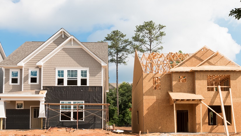
America’s housing crisis is pervasive and complex. Local debates about the housing crisis often treat “zoning” and “permitting” as separate villains: one blamed for banning duplexes and apartments, the other for burying projects in red tape. In practice, they are two halves of a single regulatory machine. Zoning codes define what can be built and where. Permitting systems operationalize those rules through workflows, reviews, and approvals. When a city’s zoning map excludes missing middle housing—such as duplexes, townhomes, cottage courts, and small apartment buildings—even the most modern, user‑friendly permitting portal cannot produce the units that the underlying code does not allow. Conversely, when zoning is reformed on paper but legacy, discretionary permitting processes still invite serial hearings, appeals, and delays, the promised capacity increase often fails to materialize at scale.
State-Level Housing Reform
This tight coupling between code and process helps explain why state legislatures are increasingly stepping into what was once considered the exclusive domain of local land‑use control. As housing shortages and affordability pressures spill across municipal boundaries, states are forced to intervene. Purely local decision‑making—especially where public input is structured as a project‑by‑project veto—can impose broad regional and statewide costs. By preempting certain exclusionary zoning practices, mandating by‑right approvals under objective standards, and limiting some forms of discretionary review, state lawmakers are not only rewriting local zoning rules but also reshaping the permitting systems that enforce them. The emerging story is not just about “bad zoning” or “slow permitting” in isolation, but about how their relationship either locks in scarcity and lack of affordability or enables jurisdictions to translate policy reform into actual housing on the ground.
Empowering Planners with GIS for Zoning Modernization
Planners are called upon in cities and counties of all sizes to offer their expertise in alleviating the housing shortage. Their work impacts nearly all facets of a local government, including economic development.
For planning departments with a sufficient permitting system but a zoning code that does not meet their residents’ needs, GIS provides a gateway towards a more sustainable and effective ordinance that can be immediately integrated into their functioning permitting system. ArcGIS as a Planning System provides a suite of applications that enable planners to apply their subject matter expertise to modernizing their zoning code without being GIS experts.
GIS Enables Housing Reform
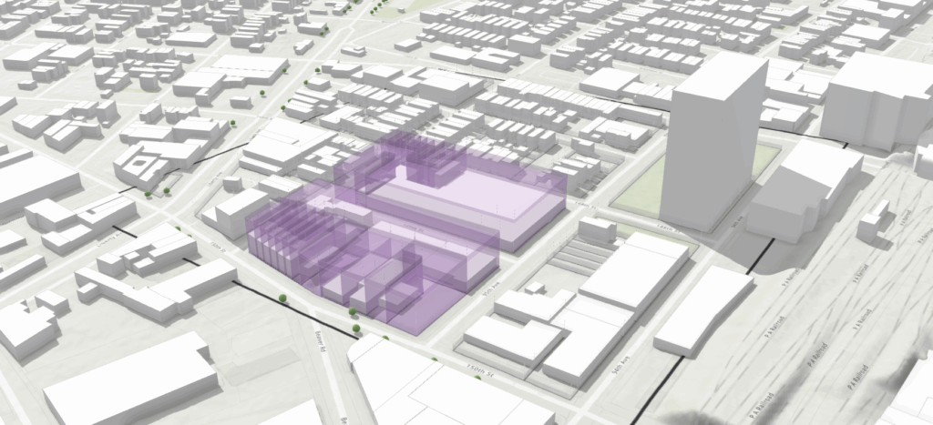
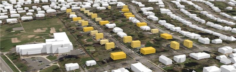
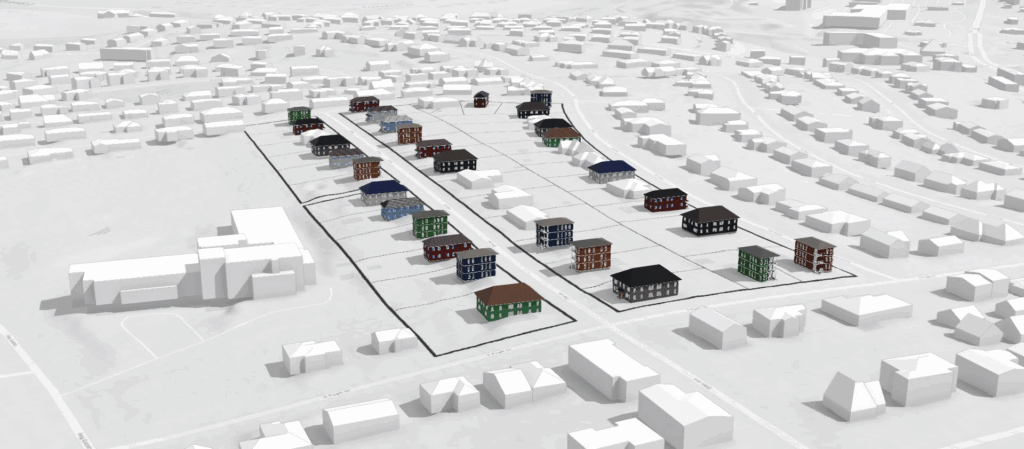
For instance, let’s look at a situation where industrial land can be repurposed for medium to high-density residential uses. Assuming there is not currently a zoning code for this, it will be necessary for planners to test the capacity and impacts of these kinds of developments before recommending ordinance changes. Planners can do this through scenario planning in ArcGIS Urban. By applying the development parameters to the newly proposed zone, such as the Floor Area Ratio (FAR), maximum height, dwelling unit density, setbacks, skyplanes, and more, planners can test the effectiveness of the changes and provide visualization to city and county leadership. Dashboards instantly calculate key metrics such as number of households, jobs (from mixed use developments), tax revenue, affordable vs. market units, and more. Planners can then create multiple scenarios, compare them side by side, and use this to help generate buy-in, answer questions, and alleviate concerns that sketches and other renderings cannot. In other words, the planner’s subject matter expertise is on display for non-planning professionals to visualize, analyze, and provide essential feedback.

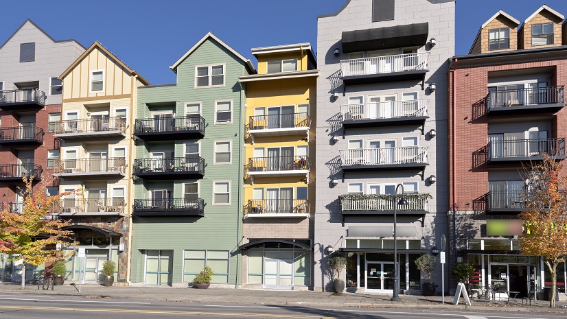
Planners can also use ArcGIS CityEngine to provide realistic facades to developments, as well as landscape architecture, street design, and other key details that can further enhance the visual experience for stakeholders. This is especially important if the department is recommending a new type of development that a community has not seen before, such as townhomes, duplexes, cottage courts, and other forms of missing middle housing.
Building a Data-Driven Future for Housing
Changing a zoning ordinance will require a public hearing, but planners cannot wait until this moment to expect buy-in from the public. Leveraging tools like ArcGIS StoryMaps and ArcGIS Hub, planners can tell their story in an engaging, compelling way that fosters and analyzes feedback from stakeholders.
Updating a community’s zoning ordinance is not a small task, but leveraging GIS as part of a data-driven process is essential to ensure a sustainable, thriving community going forward.
In our next article, we will examine the other side of this coin and see what planning departments can do that have a modern zoning ordinance, but a permitting bottleneck.