The capabilities of GIS continue to evolve in today’s planning department. From planning application review to scenario planning to code compliance to stakeholder engagement, GIS has grown from a niche mapping tool to a mission-critical system in planning. Within the ArcGIS platform alone, the number of applications focused on planning and community development has grown exponentially. While this has provided numerous opportunities for planners to streamline and automate common time-consuming workflows and work more effectively, it has also challenged GIS administrators who track licenses and user types.

User types are the primary way to access the ArcGIS platform. The primary applications used by planners and designers, ArcGIS Urban and ArcGIS CityEngine are now included in the Professional Plus. On top of that, ArcGIS Business Analyst Web App Standard is now included in Creator, Professional, and Professional Plus user types. This is in addition to applications like ArcGIS Solutions, ArcGIS Hub, and ArcGIS StoryMaps which were already included. In other words, every product in the planning system in ArcGIS will be accessible through the Professional Plus user type.
So, what does this mean for today’s planning department?
First, for the nearly 1,300 local governments in the U.S. who currently have a Small Government Enterprise Agreement (SGEA), they now have complete access to the planning system in ArcGIS. The same goes for the larger cities and counties that have standard enterprise agreements in place.
Second, for those without an SGEA in place, it is now easier to provide your planning department with the tools they need. Simply allocate user types to planners, instead of focusing on app-specific licenses.
For example, let’s look at a city with a population of 75,000 that currently has a Small Government Enterprise Agreement. A planning department for a city that size would likely have around a dozen planning staff. With the SGEA, the city has 40 Professional Plus licenses in both ArcGIS Online and ArcGIS Enterprise.

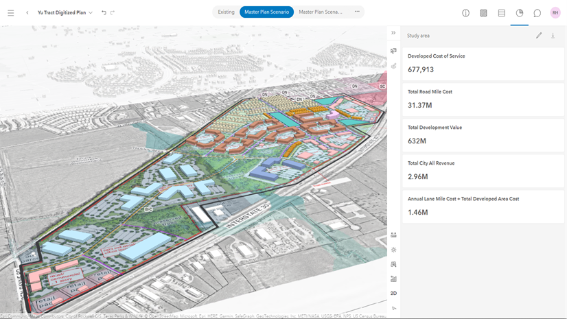
In this scenario, each staff member gets the functionality that they need with a specific user type. The city has only used 6 of their 80 Professional Plus user types, 3 of their 300 Creator user types, and 3 of their 300 Mobile Worker user types. From a GIS manager’s perspective, the administration of GIS functionality in the planning department has just become significantly easier. You no longer need to worry about extra licenses for apps like ArcGIS Urban, ArcGIS Hub, and ArcGIS CityEngine.
User Types Increase Access to ArcGIS as a Planning System
User types provide role-based access to the functionality, apps, and content that equip planners with the essential capabilities for collaboration, mapping, and analysis. Whether users are in the office or in the field, they can seamlessly navigate and update ArcGIS content across devices.
A single Professional Plus user type opens the door for a planner to use ArcGIS as a Planning System. If you need further guidance on this change, please contact your Esri account manager.