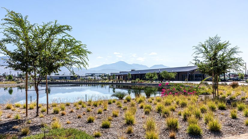
Pueblo Water has provided the city of Pueblo, Colorado, with clean drinking water for more than 150 years. Its system utilizes surface water from the Arkansas River Basin and several reservoirs in the Rocky Mountains. Pueblo Water provides potable water to approximately 114,100 residents. As a utility, Pueblo Water maintains 596 miles of underground pipe that feeds 41,753 taps in the community.
Challenge
A challenge the utility faces is utilizing GIS and digital workflows to be more efficient, with the goal of being proactive instead of reactive with its system.
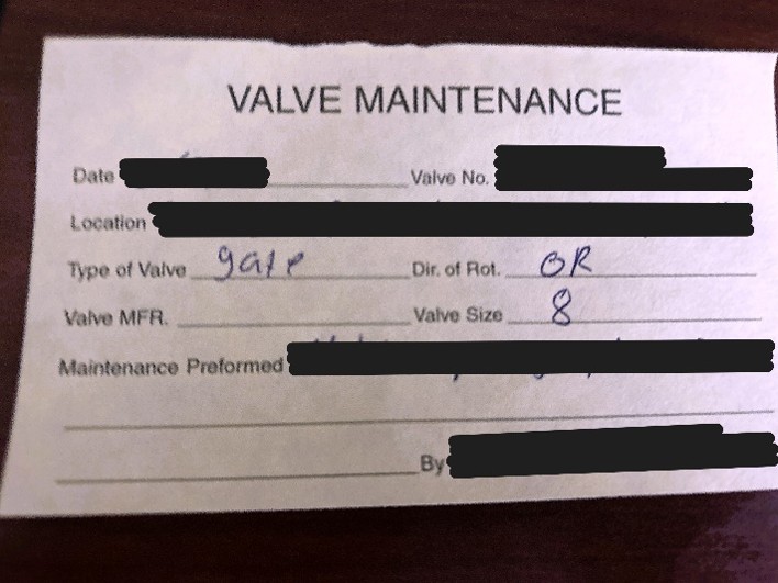
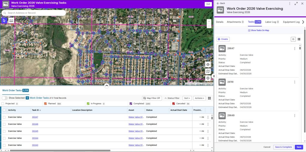
A prime example of this utilization can be demonstrated with Pueblo Water’s Valve Exercising Program. There are 15,118 valves across 73 square miles of service area that must be exercised (turned) annually. Pueblo Water’s previous workflow of recording and quantifying the number of valves exercised was done manually on valve cards with limited GIS use. It was challenging for staff to monitor what work was being completed out in the field.
Pueblo Water needed a better way to track valves turned, streamline workflows, and improve understanding of the status and condition of each valve.
Solution
Pueblo Water chose to implement OpenGov solutions because of the ease of integration with ArcGIS and their long-standing expertise in asset management. Using Esri and OpenGov technology, staff expected to gain a scalable asset management system that can track work in all areas of operations, from water treatment to main breaks. This would eliminate antiquated paper workflows and digitize work processes.
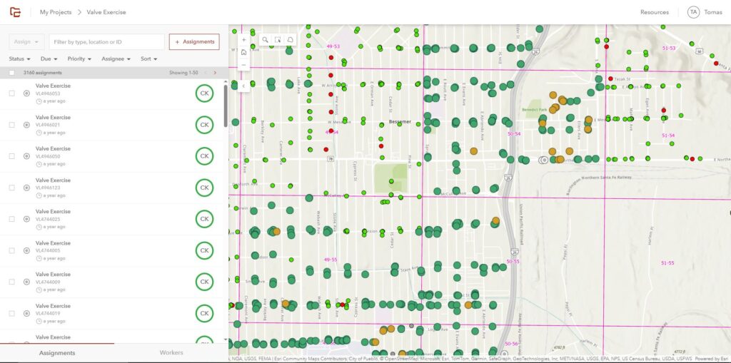
Pueblo Water implemented ArcGIS Utility Network and ArcGIS Workforce, complete with user maps, dispatcher maps, and dashboards. This solution enforced the skills necessary to be comfortable with the transition from notecards to graphics cards. Skills being reinforced included app navigation and accessing information on a mobile device. This was important because these fundamental skills raise the level of digital literacy at Pueblo Water.
Pueblo Water determined that a dedicated asset management system was mandatory for the granularity and scope of its goals. A dedicated asset management system would help achieve two goals:
- Modernize utility workflows
- Improve asset management and maintenance planning
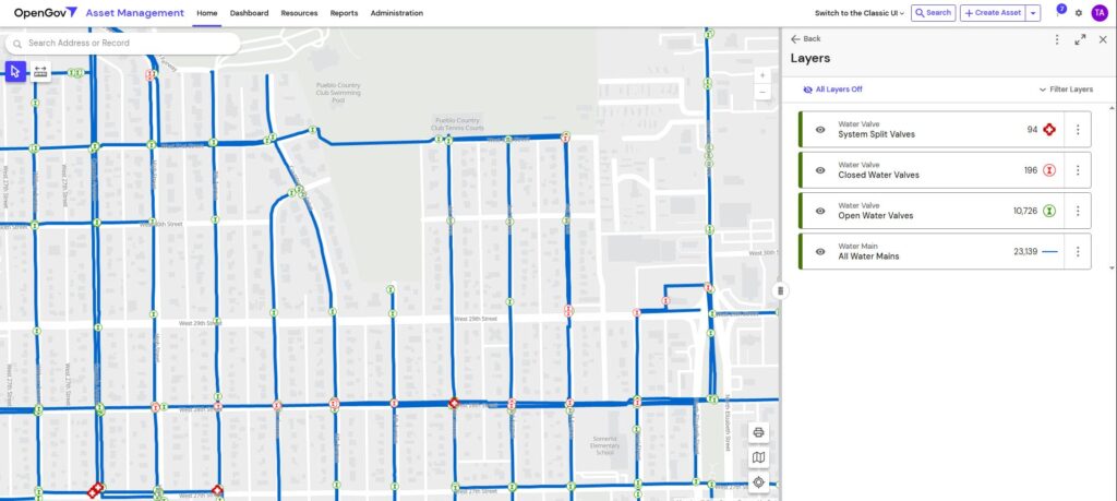
Esri’s ArcGIS Utility Network is great for mapping assets; OpenGov solutions enhance asset management planning and dispatching work. When combined, the two systems produce a useful map with detailed asset information that is user-friendly and packed with information.
Results
Utilizing Workforce, Pueblo Water was able to log and track approximately 2,700 valve records in a one-year training period. Using ArcGIS Utility Network and OpenGov for valve exercising, crews completed more than 4,800 valve exercise tasks, with a monthly average of 830 valves documented. That average is climbing. Pueblo Water is on target to hit its key performance indicator (KPI) of 10,000 valves exercised this year. Pueblo Water crews in the field have done an outstanding job using this new system.

Not only has Pueblo Water doubled productivity, but now tracks the condition, status, and position of each valve. Broken or inoperable valves are logged as well. Because the status of each valve is now known, the map reflects what is in the field. Pueblo Water’s GIS interactions have increased dramatically utilizing OpenGov’s basemap gallery. The basemap gallery in OpenGov gives users access to all maps that have been published to Pueblo Water’s ArcGIS Enterprise portal. Thus, field crews have access to the ArcGIS Utility Network maps and other more customized maps to suit the job at hand. The integration between OpenGov and Esri has helped Pueblo Water meet their goals, while also preparing for the future.
“We have come light-years from where we started, and it has been amazing to watch the transformation. The solution is so powerful, it does everything.”
James Graff, Maintenance Supervisor, Pueblo Water

ArcGIS is an enterprise geospatial platform that enables modernization of workflows with easy-to-use applications. Strengthen your organization with GIS-based solutions that will increase efficiency and provide insight for decision-makers. Visit the Esri Water Utilities web site for more information.
Stay Connected with Esri’s Water Team
Follow #EsriWater on social media: X | LinkedIn
Subscribe to the Water Industry newsletter “Esri News for Water Utilities and Water Resources“