The 2026 FIFA World Cup is over. Spain has won. For one group of 50 undergraduate student leaders, the competition started before any match was played, and it was won with maps and an innovative business strategy. These students participated in a competition for launching new snacks in conjunction with the 2026 FIFA World Cup.
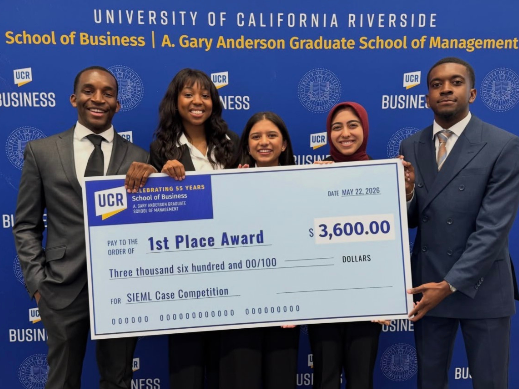
Early this summer, Esri partnered with the University of California Summer Institute for Emerging Managers and Leaders (SIEML) to bring geographic information system (GIS) technology to the program’s case competition and its participating students. While many of them had little to no GIS background, by the end of the week they were using ArcGIS to build a business plan backed by spatial thinking and data. The winning teams didn’t take home a World Cup trophy but did walk away with $7,800 in awards and hands-on experience applying GIS to a real business problem to develop a solution.
A Program for Up-and-Coming Business Leaders
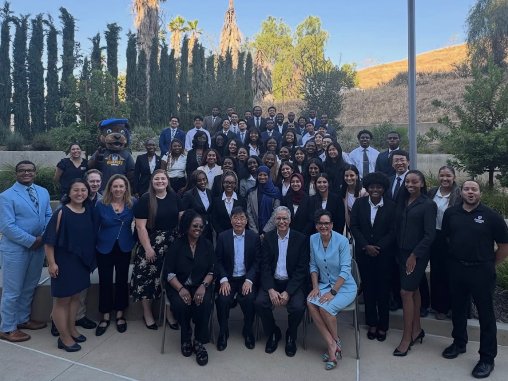
SIEML is a business and leadership development program dedicated to expanding access to graduate business education across the University of California’s six schools of business. Each summer, a cohort of top scholars from Historically Black Colleges and Universities (HBCUs) and Hispanic Serving Institutions (HSIs) across the country are selected to participate.
“SIEML is a dynamic program that enables the University of California system to bring top student leaders nationwide to our UC campuses and expand educational access,” said Keith Flowers Jr., the program’s campus liaison, who has been with SIEML for more than seven years.
“SIEML scholars are change-makers in their local communities with high graduate business potential. The program provides the UC system the opportunity to develop relationships with a wide range of students early in their careers and provide knowledge and information to help them return to UC in the future,” said Amy Russell, director of SIEML.
Educational and career pathways flow through a pipeline that does not always reach every student. Supporting career and academic programs that open opportunities for students is a strong motivation for organizations to get involved in the program. “The reason this was so exciting for us is that we had the opportunity, as Esri, to be more aware of the gap between student populations and the talent pool in GIS and geography,” said Cindy Elliott, former director of Esri’s business industry sector, who also judged the case. “We had to invest in building broader diversity in both.”
Student Opportunity in Business and GIS
The decision to get involved with SIEML was driven by more than an exciting new partnership. Understanding customer demographics or managing a supply chain are all spatial problems, yet geospatial thinking does not always find its way into business school curriculums.
“Esri works with business schools often because we’re trying to get those schools to add more geospatial learning into their programs, so that students are graduating with the knowledge of both business and geography,” said Elliott. “There’s a gap there.”
Every year, one of the six participating UC campuses hosts the program. This year, the University of California, Riverside (UCR) hosted at the A. Gary Anderson Graduate School of Management, where interest in bringing geospatial technology into more programs across campus was already building.
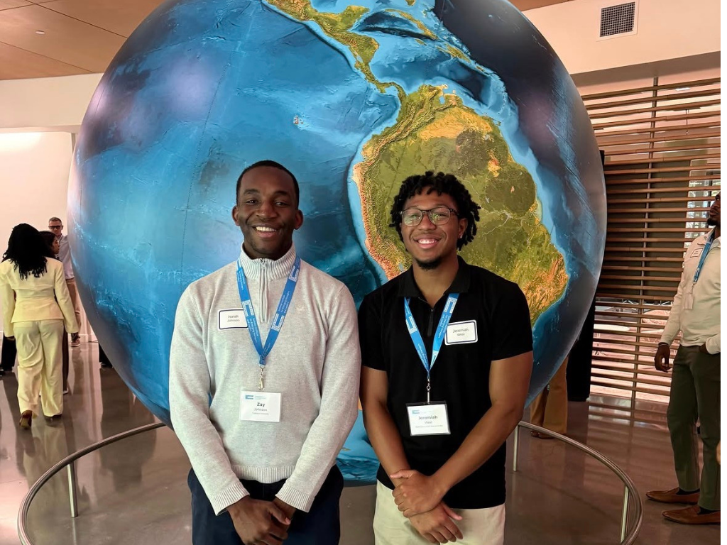
For one week, the students had the full UCR experience and took part in lectures and workshops led by business faculty and industry leaders, with plenty of opportunities to network and gain leadership experience. As the 2026 corporate and resource partner of the program, Esri also hosted the students for a day, offering a tour of the Redlands campus, GIS demonstrations in Esri’s Geo Experience Center, and a chance to connect with Esri staff on ways to refine their projects.
A Case Adapted
Case studies are often framed to reflect real business scenarios. So, when Frito-Lay announced they were to be the official snack of the 2026 FIFA World Cup and FIFA Women’s World Cup 2027, the company’s business operations turned out to be the perfect opportunity to invest in building a case grounded in GIS.
However, the case was not unique to SIEML. It originated from a separate competition Esri has long supported at Texas Christian University (TCU). “For the past seven years, Esri has participated in an annual case competition with TCU and their Center for Supply Chain Innovation,” Elliott explained. Esri holds a long-standing partnership with TCU’s Neeley School of Business Center for Supply Chain Innovation and serves as a Platinum partner for TCU’s Graduate Supply Chain Case Competition. Esri also works closely with several other higher education institutions and their campus programs.
Working with universities goes beyond selling technology. It’s about bringing ArcGIS to students so they can apply the tools to eventually support cross-industry development, which is exactly how the case came together.
“When our team sits down to produce these case competitions, our goal is to ensure the situations closely mirrors how GIS technology is actually used by market leading companies,” said Alexander Martonik, industry solutions specialist at Esri, who set the students up with ArcGIS Online and provided them with technical support. “We’re putting together workflows and business problems that these students are likely to face as they start their careers.” With the soccer season almost underway, the timing aligned perfectly. The Frito-Lay case was repurposed and adapted to fit the SIEML students’ seven-day timeline and GIS skill levels, giving them the chance to get hands-on with ArcGIS.
The Crunchy Case
For those who may not be familiar with case competitions, they’re events where students break off into teams to solve a realistic business problem against a ticking clock. Teams receive a mock business scenario, and must analyze the problem, develop a strategy, and pitch their solution to a panel of judges.
The UC SIEML program placed students in balanced teams of five to tackle the challenge of mapping out a production plan for Scotty Bear Crisps, a fictional snack product inspired by UCR’s mascot, Scotty Bear. Timed to launch during the World Cup, the new product rollout called for an extensive business plan. With an expanded playing field of 48 teams playing 104 matches across 16 venues in three different nations, the challenge was much more than launching a new snack.
“It seems straightforward at first, but then students realize that they’re doing more than just adding a new product,” Martonik said. “They needed to understand how it was going to be produced, where they would source resources, how their supply chains could support distribution, and who they were going to market to.” Winning the competition also meant building a strong business plan for launching Scotty Bear Crisps in conjunction with the company’s existing snack item, which was already projected to spike in demand during the games.
The case had three objectives, each leaning on spatial analysis and visualization in a different way. Teams had to generate a demand forecast, lay out a production plan, define distribution logistics, and if they were up for the challenge, identify potential pop-up shop locations to sell the product. Working with spatial data and a guide that walked them through the basics of the platform, the students used ArcGIS Online to visualize their data. They also used ArcGIS Business Analyst to map Frito-Lay’s network of production facilities and analyze how those locations lined up with where the product was most likely to sell. To package it all together, the teams also had to develop a marketing campaign that would promote snack sales.
Each team approached the challenge using ArcGIS at different levels. “Some groups were very simple with the system, while others were doing overlays, creating heat maps, and comparing the data . . . there was no right answer. They used GIS to back up the best business strategy,” said Flowers.
“The case itself was definitely challenging,” said Lizbeth, a SIEML scholar. “At first, my team and I did not know where to start or how to approach it, which ended up being one of the most valuable parts of the experience. I felt challenged, nervous, and pushed out of my comfort zone throughout the process. In the end, it helped me grow both personally and professionally.”
Student Return on Investment
Given how little GIS experience most students had coming in, the judges were blown away by each team’s innovation, each bringing a different element of creativity to the stage. The teams were judged based on their presentation, professionalism, storytelling, demonstration of understanding the content and business issues, and their research and data analysis. What set the winning team apart was their cohesive presentation, using AI to visualize their proposed pop-up shops and pairing it with strong spatial analysis.
“I think this is a true testament that business professionals and aspiring business professionals are looking to use this type of technology, as long as it’s presented in the right context,” Martonik said. “In many business courses, even if they use GIS, it’s still very superficial in how it’s being discussed. So, the fact that these students were able to adopt the software and put it together within a week shows they want to utilize this type of technology to achieve that outcome.”
The return on investment for these students wasn’t the cash prize; it was the experience of building new technical skills and learning to approach complex business problems through a geospatial lens. That kind of student development is the return SIEML was built to bring, and it’s the sort of partnership that Esri hopes to continue building on.
Learn more about how to apply GIS in business education.