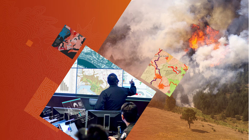
Powerful Analytics from Esri for Public Safety Dispatch, Command and Control
Public safety answering points (PSAPs) and Command and Control Centers around the world collect, store, analyze and share huge volumes of data. Too often, the commanders and analysts in these centers rely upon multiple tools to accomplish one thing, make the data understandable. Using ArcGIS Insights for the PSAP allows centers to directly connect to their data, whether it’s in ArcGIS, relational databases, spreadsheets or from ArcGIS Living Atlas of the World.
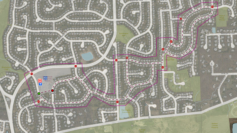
Map all of your PSAP data with projection and location accuracy—addresses, coordinates, lines or boundaries. With ArcGIS Insights, you can work with an unlimited number of map layers all at once. What’s more, you can perform advanced spatial analysis techniques such as spatial aggregation, find nearest and drive times in 3 clicks or less. Ground your data to the real-world by enriching it with variables such as Esri’s demographics, psychographics and socioeconomic data. It doesn’t matter where your PSAP or Command and Control Center is located around the world, we offer the world’s largest collection of ready-to-use geographic content for more than 130 countries so you can perform granular analysis that scales down to local geographic levels.
ArcGIS Insights is a game-changer for the PSAP that needs to transform its complex datasets into manageable questions through the use of exploratory analysis techniques that quickly uncover patterns, trends, correlations and relationships. You can use it for advanced analytics such as spatial, statistical and link analysis to further explore your data. And most importantly, Insights allows you to create reports that use text, links, images, videos and branding to clearly communicate your results and show how you reached them. You build auto-recorded workflows that establish a repeatable process, allowing you to confidently share your findings. Explore and interact with this example ArcGIS Insights project.
Watch for our other videos explaining how GIS benefits the PSAP/command and control center, and please reach out to us if you’d like more information.