Most recent
One Company, Two Utilities: Utility Network Assessment
TXNM combined PNM and TNMP GIS's using the ArcGIS Utility Network.

Advanced Planning and Construction with CIM Integration

A Recap of the Esri Planning Directors Summit
Brooks Shannon|
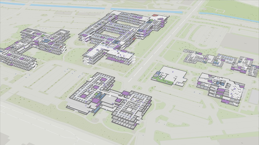
Ten Ways GIS Extends the Value of Indoor Maps and NG911

Dominion Energy Selects EpochField to Improve Inspections

Esri Water|
GIS Helps Hampton Shaler Water Authority Reduce Non-Revenue Water

Esri Water|
ArcGIS for AutoCAD Improves As-Built Workflows at Waternet

Esri Water|
Small Utility Finds Success with Data-Driven Operations Management

Trends in Health GIS: Modernizing Healthcare Facility Management with Indoor GIS

Lorraine Tighe|
Embracing Open Science: A Journey of Collaboration and Innovation

How iSpeed Technology and Esri are Revolutionizing Telecom Operations for Salina Spavinaw Telephone
Esri Water|
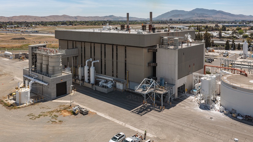
Flowing Towards the Future: Central San's Integration of Cutting-Edge Inspection Technology