Most recent
One Company, Two Utilities: Utility Network Assessment
TXNM combined PNM and TNMP GIS's using the ArcGIS Utility Network.

Lorraine Tighe| December 30, 2024
Mapping the Way to a Brighter Future: Reflections After AGU24
Multiple Authors|
Exploring the Role of GIS in Homeland Security: GIS and Real-Time Threat Management

Building a Fiber Optic Network to Santa's Workshop: A GIS-Powered Journey

Integrating Spatial Fluency in the Workforce (III)
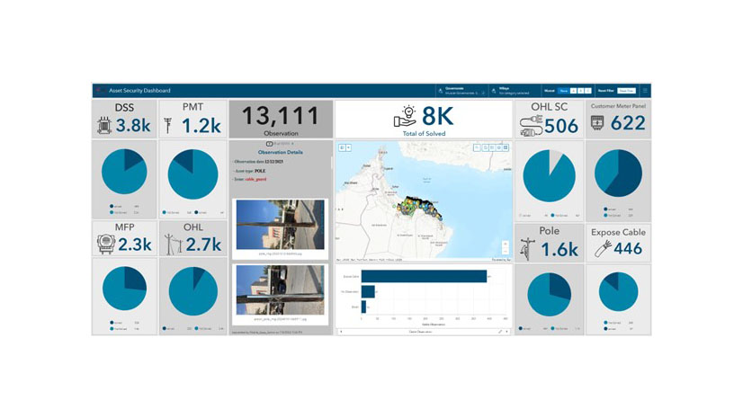
NEDC STRENGTHENS ASSET SECURITY WITH GIS
Esri AEC| December 11, 2024
SCS Engineers's Reporting Transformation

Esri Water|
Revolutionizing Water Utility Operations at Mustang Special Utility District with ArcGIS

Imagery Summit Recap: A Panoramic Perspective
Esri Water|
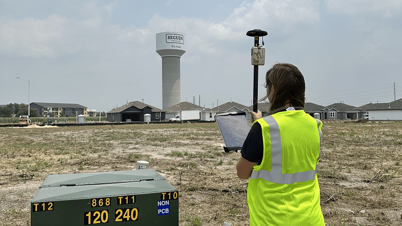
Small City, Big Initiatives: City of Seguin Improves Water and Electric Asset Management with GPS and GIS
Esri at AUSA 2024: Empowering Defense with Data on the Edge

Celebrating GIS Day: A Wildland Firefighter’s Perspective