Most recent
One Company, Two Utilities: Utility Network Assessment
TXNM combined PNM and TNMP GIS's using the ArcGIS Utility Network.
Multiple Authors|
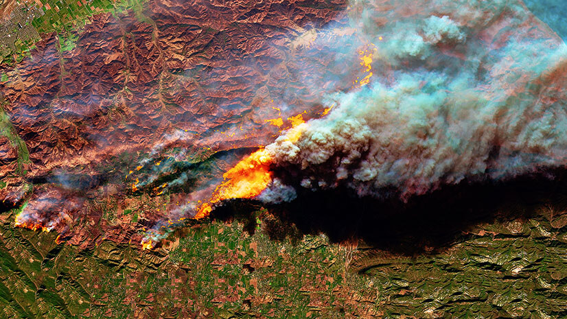
Harnessing Satellite Technology for Wildland Fire Response and Recovery

Multiple Authors|
From Navy Intern to Campus Innovator: Kavin Phabiani's Journey to Founding a GIS Club on Campus
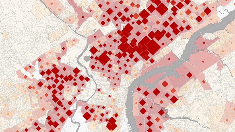
Health GIS 101: The Easy Button
Esri AEC| January 17, 2025
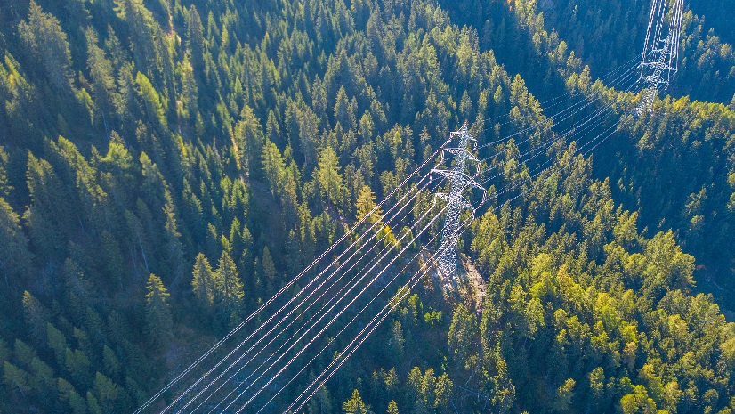
Beyond the Portal: Empowering Aldridge Electric with GIS

How Will Science Fiction Portray Your City? Mapping our way to a climate-smart future with GIS
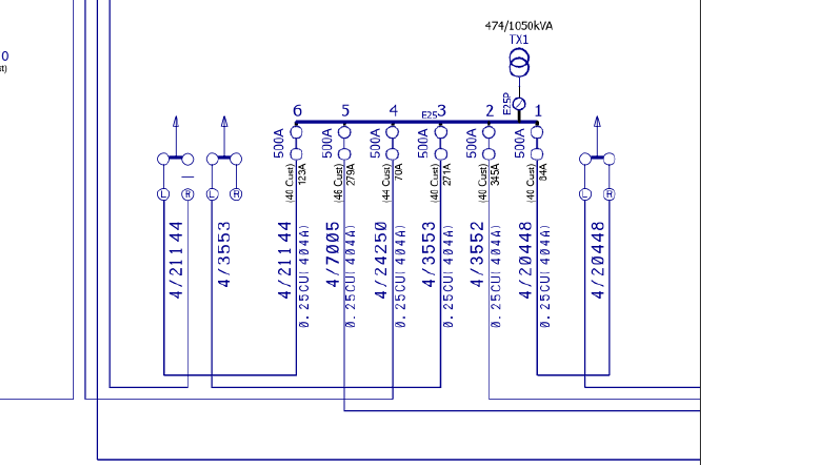
HK Electric Looks to GIS for Grid Modernization
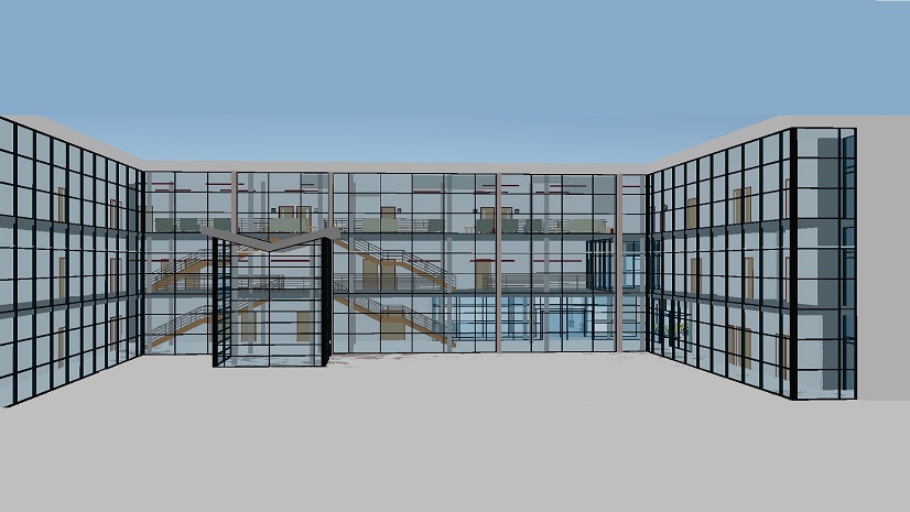
Shape the Future of Technology in Built World Projects: Share Your Insights
Esri Water|
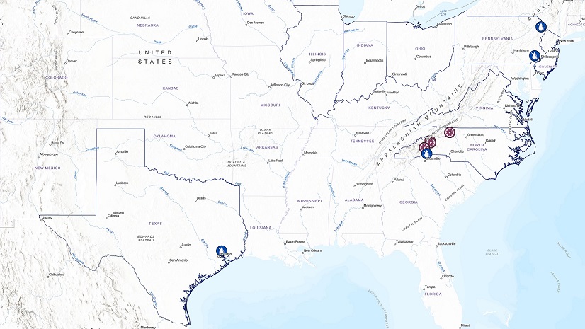
Aqua Leverages Experience Builder to Keep Users Informed During Service Disruptions

Multiple Authors|
Using GIS to Elevate Clinic Quality and Improve Care for ALS /MND Patients

GIS is Foundational Public Works Technology
Esri Water|
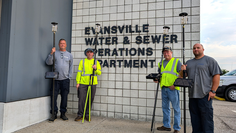
From Months to Moments: EWSU Cuts Turnaround Time with Eos GNSS and Expands GIS Access with ArcGIS Utility Network