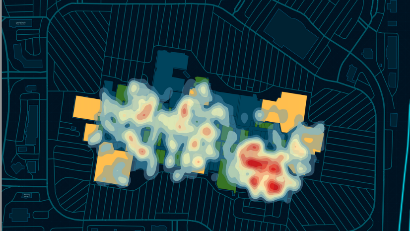
Most recent
One Company, Two Utilities: Utility Network Assessment
TXNM combined PNM and TNMP GIS's using the ArcGIS Utility Network.

Spatial Fluency Drives Growth (II)
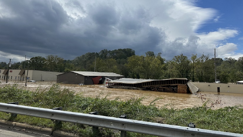
Helene: Shining a Light on the Urgent Need to Operationalize Climate Action Plans with GIS

Accelerating Fiber Network Expansion: How AI and GIS Turn Maps into Business Intelligence

What You Need to Know About The Esri Planning Directors Summit
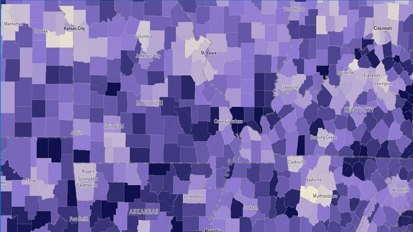
Trends in Health GIS: Mapping Healthcare Accessibility
Multiple Authors|
Lost and Found: How ArcGIS and GPS Change Location Sharing in the Wild

5 Interesting Applications of GIS in Rail
Clallam Public Utility District Extends NISC Mapping For Added Value
Esri at NRPA 2024 Annual Conference: Get your custom Parks and Recreation Market Report

Lorraine Tighe|
CLIMATE ADAPTATION
Preparing Your Fire Department for NERIS