
Most recent
One Company, Two Utilities: Utility Network Assessment
TXNM combined PNM and TNMP GIS's using the ArcGIS Utility Network.
Elections Officials Must Stand Strong to Regain Trust in the Voting Process
Understanding the Climate and Societal Impact from Global Supply Chains

Multiple Authors|
GIS Coordinator Shares Advice on Career Growth & Building a GIS Division

How Many Zeros In Quadrillion?

Finding Common Ground in Planning with the Digital Twin

Industry Voices of Modern GIS: Keep things simple. Keep learning. Empower your users.

Multiple Authors|
Who Will Be the First to Map Mental Health?
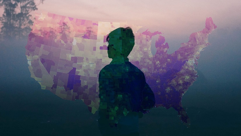
Putting Mental Health in America on the Map

Esri Small Nonprofit Grant Initiative Levels the Playing Field for Environmental Organizations
Multiple Authors|
Timbuktu Needs Broadband, Too
Multiple Authors|
Does Anyone Care That There is ROI for Using GIS?
