
Most recent
One Company, Two Utilities: Utility Network Assessment
TXNM combined PNM and TNMP GIS's using the ArcGIS Utility Network.
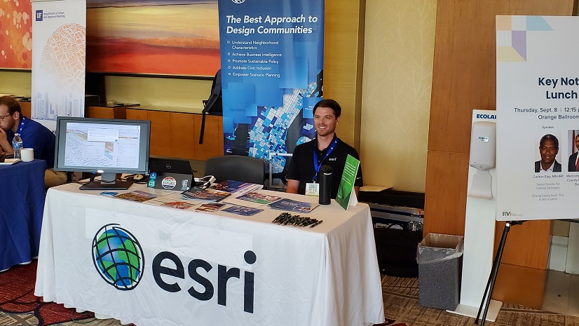
Thoughts from the Florida Planning Conference
![A [Fill in the Blank] to Watch](https://www.esri.com/en-us/industries/blog/app/uploads/2022/08/ideas-that-might-change-the-world-banner-card.png)
Multiple Authors|
A [Fill in the Blank] to Watch
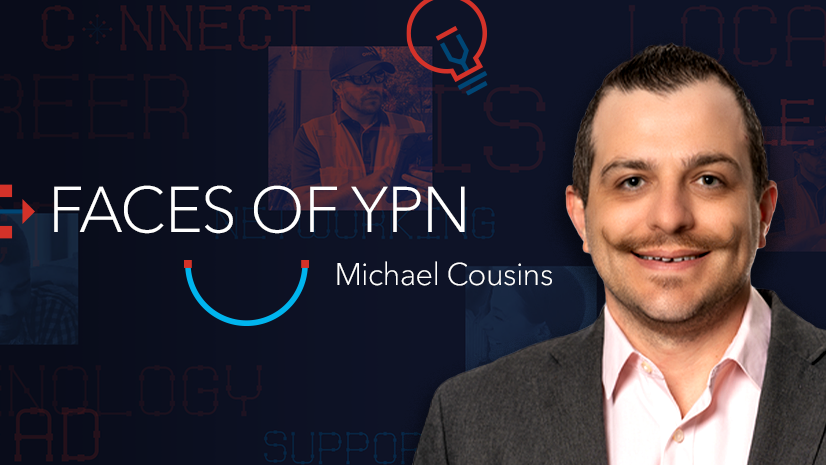
Leader and Mentor in GIS Offers Real-World Advice to Young Pros
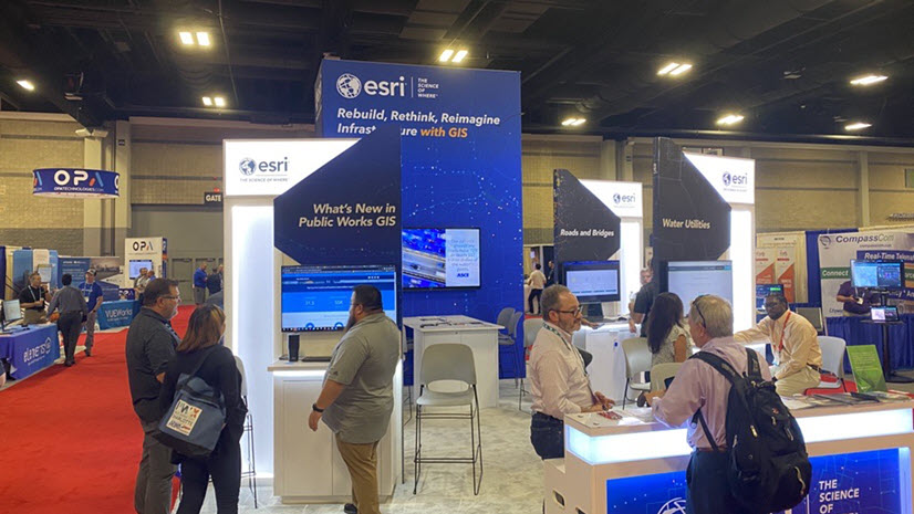
Recap of Esri at Public Works Expo
Multiple Authors|
Map vs. Policymap

Make a Difference on International Overdose Awareness Day with GIS
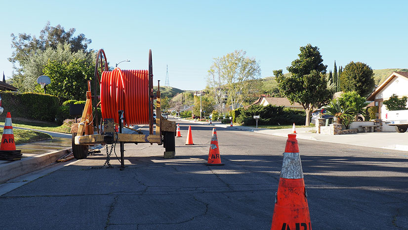
Why GIS is a Part of Every Broadband Conversation

Esri at the 2022 APWA PWX Conference
Adopting a Nonprofit Builds Stronger Communities (and Just Got Easier)
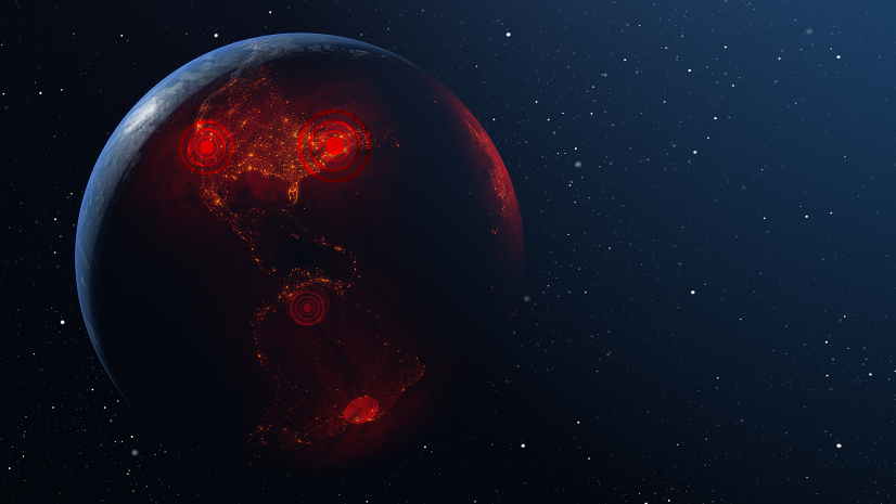
Controlling Monkeypox Spread with GIS
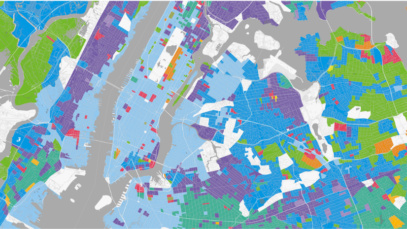
The Importance of Local Insights to National Strategies
Multiple Authors|