Most recent
One Company, Two Utilities: Utility Network Assessment
TXNM combined PNM and TNMP GIS's using the ArcGIS Utility Network.

Brian Boulmay| August 5, 2022
Introducing Pretrained Deep Learning Models for Energy
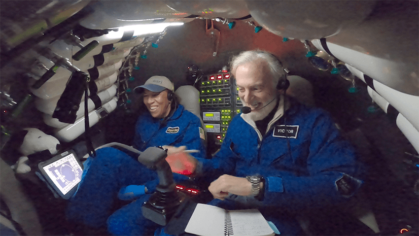
Mission Accomplished: Photos from Dawn's Challenger Deep Expedition

The Five W's of Right-of-Way and How GIS Can Help You Succeed
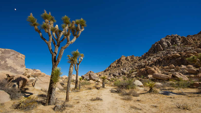
Resilience and Sustainability, the definitions, difference, and applicability of GIS

Multiple Authors|
ArcGIS Hub Supports GIS Education for University Students and Faculty
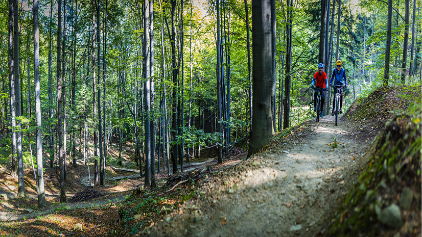
Spinning the Wheels on Air Quality - A Geographic Approach to Address Air Quality

Terry Bills| July 1, 2022
Rising Tide for GIS in Ports

Leveraging Federal Funding: The Trends We Are Seeing in State and Local Government
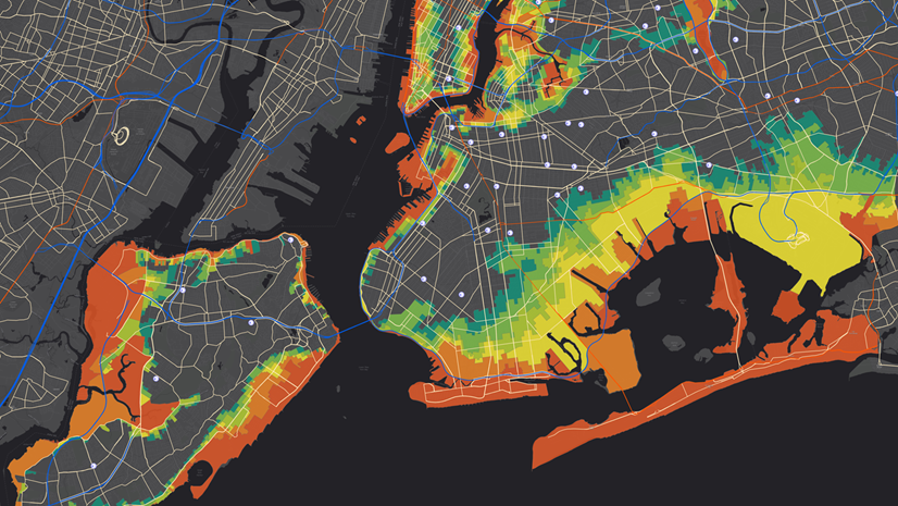
APWA’s Focus on Public Works for June 2022: Emergency Management

What Community Development Professionals Can Expect at the Esri User Conference
Uganda Wildlife Biologist & Future Change Maker Uses GIS in Conservation Efforts