Most recent
One Company, Two Utilities: Utility Network Assessment
TXNM combined PNM and TNMP GIS's using the ArcGIS Utility Network.
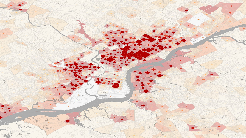
Pearls of Wisdom: Experts Discuss Health Equity and Leading through Policy and Technology

Multiple Authors|
Meet the Dangermond Fellows Using GIS for Conservation

Takeaways from the National Association of Environmental Professionals Conference

Advice to Young Professionals from a GIS Analyst and URISA Vanguard Cabinet Mentor
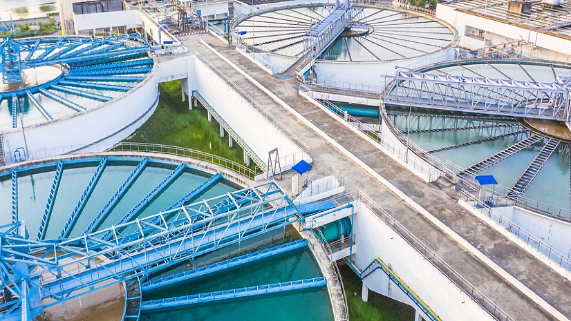
How GIS Brings Wastewater Surveillance to Life
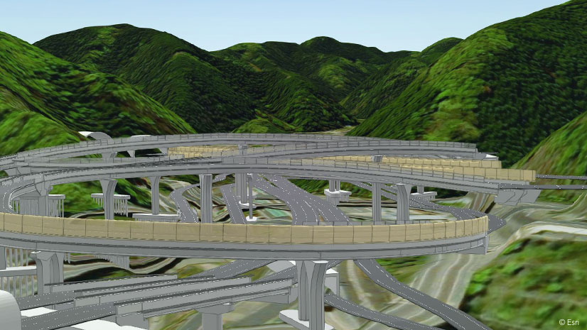
AEC Firms Commit to Deliver Process Improvements and Technical Excellence
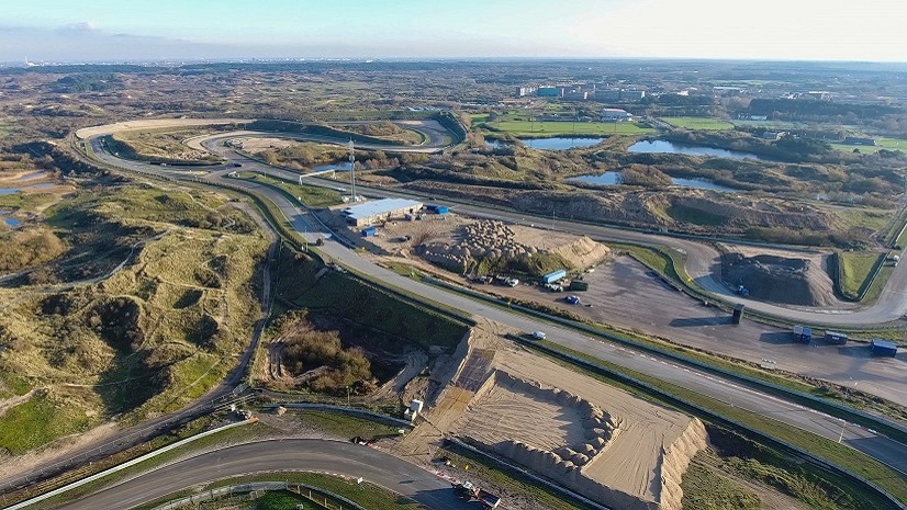
VolkerWessels Integrates BIM and GIS into All Infrastructure Projects

Ricklyn Hukriede|
Q&A with USGIF Golden Ticket Winner- Hannah Shumway

Multiple Authors|
Esri Student Poster Competition Prepares Budding Geospatial Professionals at Los Angeles Geospatial Summit

Thoughts on the 2022 National Planning Conference

No More Map Layouts: Programming, Developer Ops, and Cloud Computing Skills Will Get GIS Students Jobs