
Most recent
One Company, Two Utilities: Utility Network Assessment
TXNM combined PNM and TNMP GIS's using the ArcGIS Utility Network.
Esri and Our Partners, Working Together for Customer Success

Terry Bills|
Metaphors Matter – Data Integration and Management

Multiple Authors|
Crime Analysis with ArcGIS Pro Video Blog Series: Part 5—Basic Hot Spot Analysis

Location Analytics Expands at Arizona State University

Infrastructure on the Half Shell: Federal Funding for Oyster Stew

How GIS Can Help Our Wildlife on World Wildlife Day
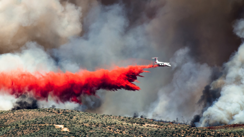
A Location Strategy Empowers Insurers to Thrive in a Volatile World
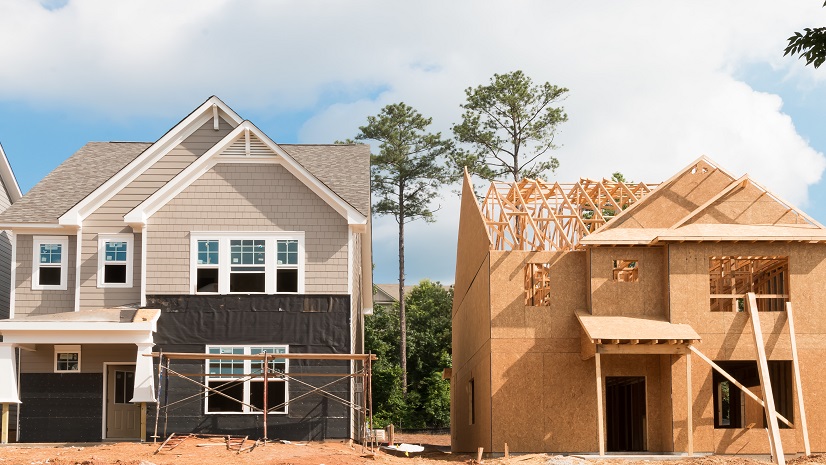
A Housing Statistics and Policy Update for Planning Professionals
Brent Jones|
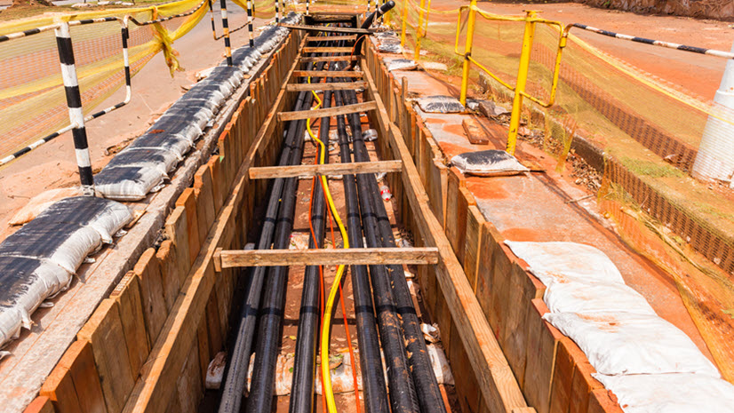
GIS and Right-of-Way: Better Together

The Geographic Approach to Winter Weather Operations
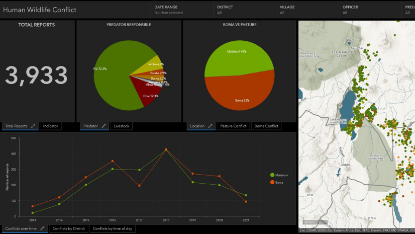
Esri Conservation Summit 2021 Blog Series: African People & Wildlife
Ricklyn Hukriede|