
Most recent
One Company, Two Utilities: Utility Network Assessment
TXNM combined PNM and TNMP GIS's using the ArcGIS Utility Network.
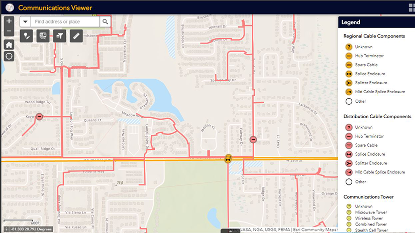
Telecommunication: Getting Started with a System of Engagement
Multiple Authors|
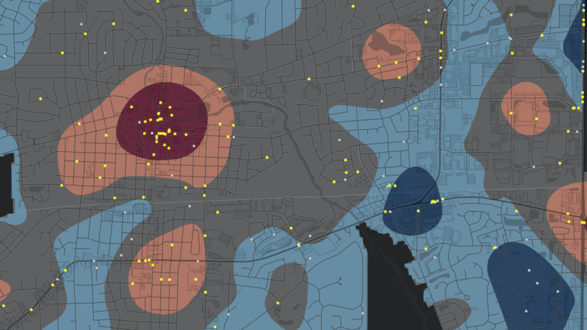
Mapping Crime Counts and Percent Change
Christa Campbell|
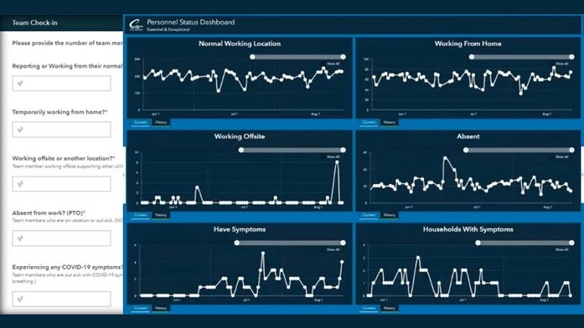
Technology Supports Water Utilities during the COVID-19 Pandemic
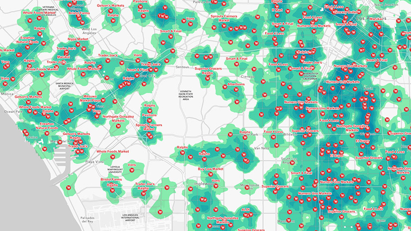
Public Policy Maps Show Opportunities for Nonprofit Action
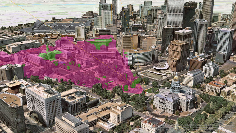
View from above: the critical value of reality capture

GIS Addresses Continued Housing Challenges
Christa Campbell|
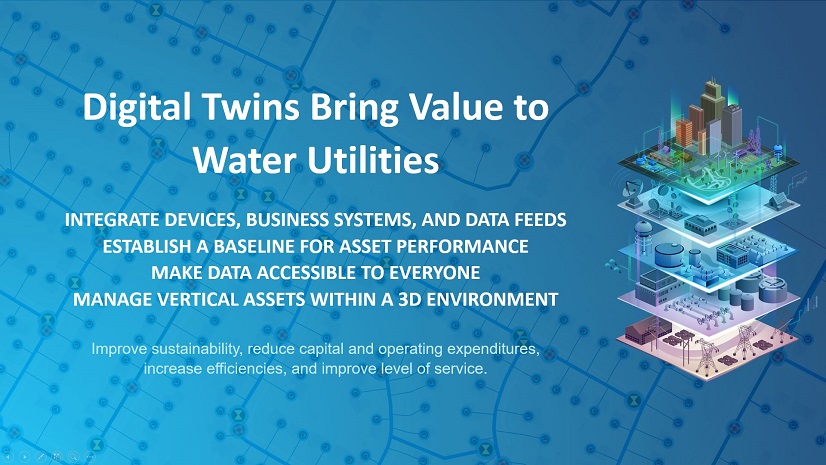
Digital Twins Bring Value to Water Utilities
![[Video] Unlocking Customer Insights with the ArcGIS and the CRM](https://www.esri.com/en-us/industries/blog/app/uploads/2021/05/blog826CRM.png)
[Video] Unlocking Customer Insights with the ArcGIS and the CRM

Reflections from the 2021 National Planning Conference

Patrick Huls|
Transforming the OSS/BSS digital ecosystem with location intelligence

Enhancing Business Resilience through Environmental Stewardship and Climate Action
Multiple Authors|