Most recent
One Company, Two Utilities: Utility Network Assessment
TXNM combined PNM and TNMP GIS's using the ArcGIS Utility Network.
Multiple Authors|
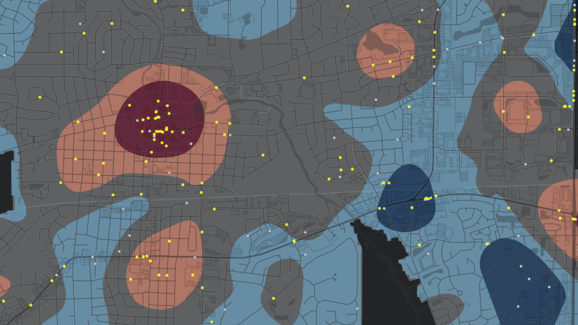
Selecting Data with the Crime Analysis Solution
Multiple Authors|
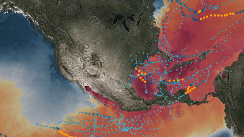
Call for Code: National Hurricane Preparedness Week

When the Environment Changes, Business Reacts
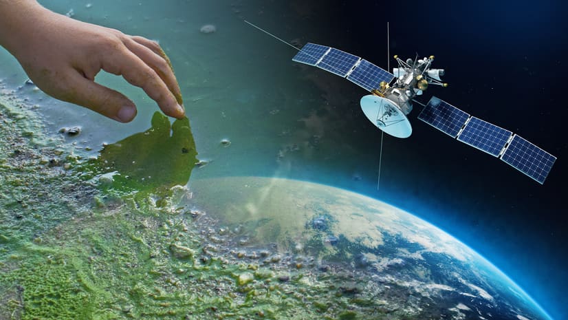
SDG 14 and Life Below Water: What Space Can Tell Us about the Slimy Stuff at the Beach

Teaching Programming for GIS, Part 1

Multiple Authors|
Student Wins LA Geospatial Student Poster Competition on Spatiotemporal Analysis of Snow Crab

Multiple Authors|
Our Wonderful World: Earth Day 2021
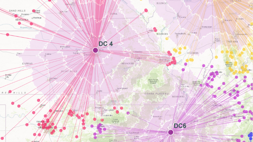
Why Businesses Need a Dynamic Framework for Adaptive Resilience
Multiple Authors|
Automating RMS/CAD Data Import with the Crime Analysis Solution

Inspiring the Next Generation of Supply Chain Innovators
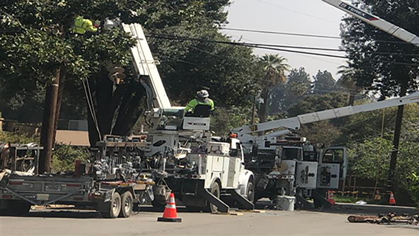
GIS Helps Utilities Think Differently