Article
Cantabria revolutionizes mapping with AI
National Mapping
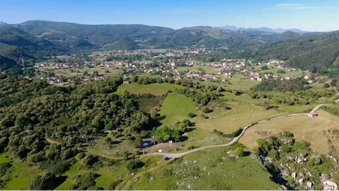
A six-person team used AI-powered maps to guide millions of visitors while safeguarding the region’s beaches, forests, and cultural heritage.
Explore resources for national mapping agencies and connect with industry experts.
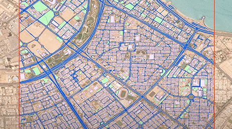
Qatar redefined its geospatial future by launching in-house aerial mapping, which transformed how spatial data powers development and sustainability across the nation.

Cantabria revolutionizes mapping with AI
National Mapping

Norway in pictures: Creating a national treasure
National Mapping

A little innovation goes a long way
National Mapping
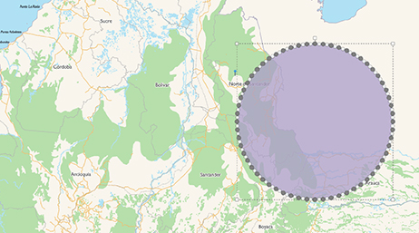
Colombia's digital atlas provides a powerful tool
National Mapping

GIS drives critical bridge response
National Maritime

The rise of 3D GIS in modern mapping
3D GIS

A geographic approach to safety and security
National Security
Transforming services with geospatial innovation
National Mapping
Multinational Geospatial Co-Production Program
National Mapping

Climate change prompts first national digital twin
Digital Twin

Deep learning automates Kuwait’s map updates
GeoAI

The next chapter in national mapping
National Mapping

Automating large-area land classification
National Mapping

Australia’s Digital Atlas
National Mapping

Senior Executive Summit @ Esri UC: Ordnance Survey
National Mapping
AI User Story: Road Extraction by PACI
GeoAI
U.S. Department of the Interior
National Mapping

New tools for ArcGIS Pro 3.0 extensions

Geospatial AI overview
Artificial Intelligence

ArcGIS Image for ArcGIS Online
Imagery
Join a community space specifically for national mapping and charting geospatial data authorities. Connect with other members of the national mapping community, sign up for informative webinars, read the latest news from Esri's national mapping industry experts, and more.

National mapping and geospatial authorities need to stay up-to-date with the latest national mapping modernization trends, technology, and information. Attend one of our informative webinars or speak to one of our national mapping industry experts at an event.

Instructor-led and self-paced options help individuals apply best practices and quickly learn ArcGIS software. Esri training consultants provide complementary planning services to identify the options that will best meet an organization's immediate, short-term, and long-term workforce training needs.

National Mapping Agency: Pathway to Success
Tutorial Series 1
National Mapping: Collection
Tutorial Series 2

National Mapping: Data Management
Tutorial Series 3