

May 28, 2020 |
Steve Snow | Mapping
As location data flows through our lives, it creates new levels of awareness about human interactions. This data paints a richer understanding of place and underpins crucial processes—the movement of goods from source to table; delivery of water, energy, and internet to homes and businesses; design of safe, efficient transport; and deliveries of packages and services.
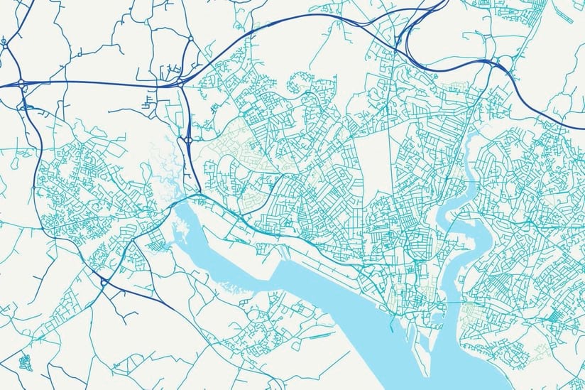
Behind the scenes is an entire geospatial industry working to improve data accuracy and flow of this data. Though maps are the well-known face of location technology, they are just one output.
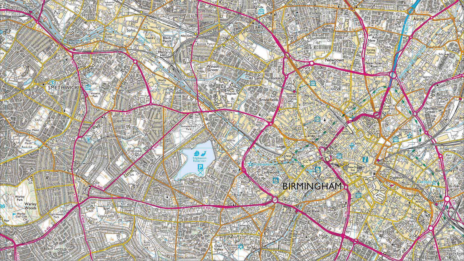
“We’re in a world where artificial intelligence, machine learning, and automation allow us to create and assimilate vast amounts of data insight,” said David Henderson, chief geospatial officer at Ordnance Survey, the national mapping agency for Great Britain and one of the world’s premier mapmakers.
In Great Britain, location data is recognized as essential national infrastructure, and a growing effort adds more realism by creating digital twins that bridge the divide between our physical and digital worlds. Commercial demand speeds this transformation as businesses need to shift beyond seeing where things are on a map to seeing how things are changing.
At Ordnance Survey (OS), this shift is apparent.
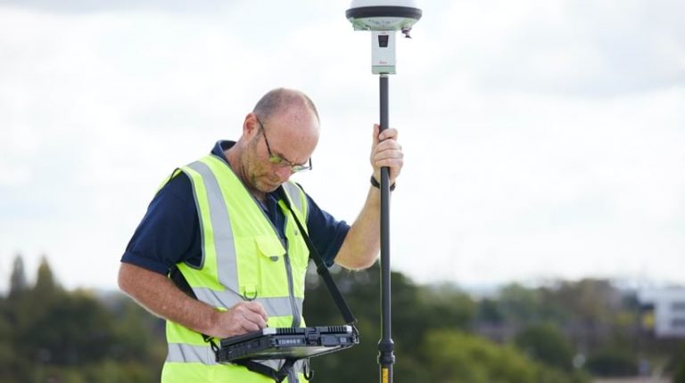
“We provide trusted insight on how much the geography of Great Britain is changing every day,” Henderson said. “We have surveyors and aircraft capturing those changes, and we’re increasingly using sensors to get closer and closer to capturing real-time change.”
OS employs more than 220 surveyors and flies five aircraft that captured 150,000 images last year.
With these inputs, it makes more than 20,000 updates to on-the-ground features every day. While the primary product is known as OS Master Map, it’s source is the national geographical database of Great Britain, one of the largest structured databases in the world with records and details on more than 500 million objects and a file size that measures in the petabytes. To put that in perspective, a petabyte is 1015 bytes of data or 1,000,000 gigabytes. And the volume of data continues to grow.

OS has fully embraced a customer-centric view rather than a map view, starting with how it approaches its map products.
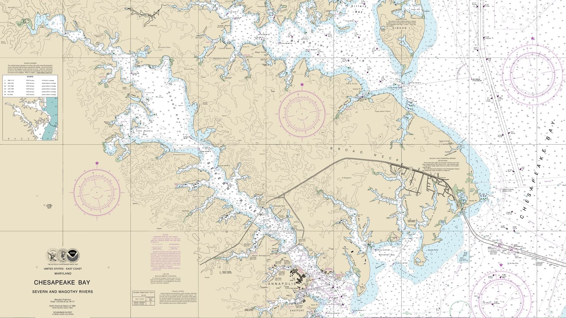
In the past, map production was all about the scale of the map, with the main scales at 1:1,250, 1:2,500, 1:10,000, 1:25,000 and 1:50,000. The specification of the data was driven by the cartographic scale of the map output OS wanted to achieve.
Now, OS collects data at the best resolution possible and then uses that data (and sophisticated geospatial algorithms) to derive maps at all scales, collecting once and using many times, ensuring consistency in the content being expressed in its products.
To improve its data workflows, OS has tackled process improvements using the flexibility of Microsoft Azure cloud computing and ArcGIS Enterprise. This advanced technology helps the OS team quickly turn its accurate record of change into meaningful information. Their work centers on areas of change, accessing and editing only features and details of the change, and delivering only updates.
Predictive knowledge of where things are likely to change helps prioritize field work to optimize surveyor efficiency. The surveyors have also received enhanced tools with rules to simplify collection and reduce irregularities or conflicts.
“We’ve had rules-based validation for 10 years now,” said Jo Shannon, director of technology and design at OS. “However, much of the validation was done retrospectively on the server side. If a problem was found, it would be sent back to the surveyor or digitizer for fixing.”
OS is transitioning to a suite of tools where rules stop users from making common errors at the point of entry while they’re looking at an asset or feature. This change will deliver greater efficiency and more timely updates.
“Surveying is an art in many respects,” Henderson said. “There is always a degree of simplification to express and translate real world information into data terms. Giving surveyors the right toolset and the right rules to do that effectively is really important.”
OS relies on partners in India for data editing, quality control and validation working through a new job management portal. In the past, this work was done by taking out large chunks of the database to update for 40 to 60 days and then reconciling any field activity in that same area when the data was brought back in.
“That caused a significant amount of challenge because the world was literally moving under our feet while the data was being updated and that caused data conflict,” Shannon said. “Our new job management portal enables us to provide the same user journey to the external supply chain partners as we have in the field. Users can select small areas of work, extract those pieces, and put them back really quickly. What used to take 40 days is now updated and returned in less than five days.”

The cloud enables this shift and makes it possible for OS to share tools and capabilities with business partners to streamline and accelerate data editing and validation.
“It’s been absolutely transformational,” Henderson said. “It’s allowed us to work far more in partnership with our supply chain and be far more flexible in our ability to respond to customer demands than we’ve ever been able to do before.”
This latest capability builds upon a legacy of process improvement that has delivered significant returns to Ordnance Survey and its customers. OS is spurred in part by the need to remain competitive. As a Government Company, OS was established and is owned by the government, but it has a history of returning a dividend.
“We’ve recently looked at the last 10 years of work with like-for-like comparisons of the output,” said Dan Dukes, director of operations at OS. “We’ve taken about 40 percent of the cost down of our end-to-end supply chain, from capturing data through to making it available to customers.”
Another key component of the OS transformation involves making data more accessible. OS has embraced data services and application programming interfaces (APIs) as a means to deliver its data more seamlessly and in ways customers want to consume it.
“If our customers can’t discover what data we have, if they can’t access it in a way that is useful for them, and if they can’t immediately use it in a way that’s beneficial to them, then they’ll find a different data source,” Henderson said.

The role of the data scientist and big data analytics are on the rise, which factors into many of the shifts at OS. Henderson and his teams are interested in providing more specialized data and information products such as land change information to meet this demand.
“As we embrace the analytical potential, it’s hard to predict every subsequent use of our data,” Henderson said. “To ensure flexibility, we have had to re-think our approach to every aspect of the way in which we collect and manage data.”
Recognized as an innovator by its peers, OS has embraced technology advancements to retune work processes, retrain staff, and engage partners in the transformation process. Building on its long history of technical leadership, OS has a strong international division through which it provides geospatial services to other countries.
“We’re solving two problems at once,” Henderson said. “We start by solving the problem for ourselves, deriving benefits and value that pays for itself, then we work with other organizations to achieve similar outcomes.”
As many places in the world embrace mobility and connectivity advancements such as 5G networks and autonomous driving, a record of change becomes more critical.
“We’re at the early stages in the UK of trying to understand the relationship between national geospatial infrastructure and a national digital twin for modeling and simulating changes and impacts in the real world,” Henderson said. “Location presents probably the most effective framework to ensure connectivity. A whole range of different geospatial applications are emerging in which trusted, authoritative, nationally-curated data is going to be essential.”
Learn more about how national mapping and charting organizations use GIS to unlock the value of data for decision making.