
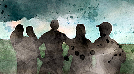
Delivering services with GIS
3D GIS helps MAF deliver aid to remote communities
Mission Aviation Fellowship (MAF) uses GIS technology to enhance flight safety, disaster response, and storytelling for humanitarian missions.
Explore resources for nonprofits and NGOs and connect with community members
Thousands of nonprofit organizations are making a lasting impact on communities with a geographic approach to planning, operations, and communication.

3D GIS helps MAF deliver aid to remote communities
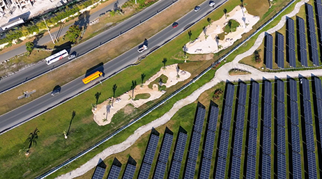
The road to a clean energy future

San Jose connects mothers to milk banks

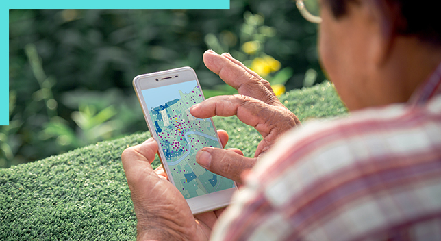
Volunteer uses GIS to share program progress
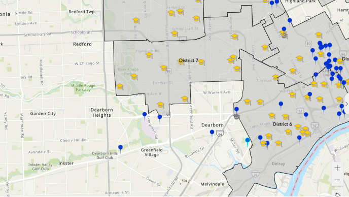
Mapping school community partners
Addressing childhood education access
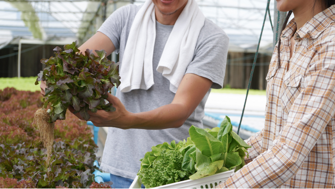
GIS adds an equity lens for food bank operations

Digital transformation at the YMCA
Communities at the heart of climate action

The geography of opportunity
Fairer redistricting and voting rights fight
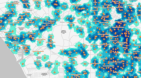
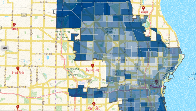
Policy maps show opportunities for action
Esri User Conference | San Diego Convention Center | San Diego, California

There are numerous pathways to build your ArcGIS expertise. For example, tutorials are modular, self-paced training exercises that focus on capabilities and skill levels such as new user, data scientist, or GIS professional. Esri training consultants provide complimentary planning services to identify the options that best meet an organization's needs and help advance its mission.
Join the geospatial conversation, ask your questions, or browse the forums.

The Esri Nonprofit Organization Program provides nonprofit organizations with low-cost access to GIS software, training, content, and other resources. Join a vibrant community of nonprofits around the globe working to create a better world.