
Awareness of public crossings
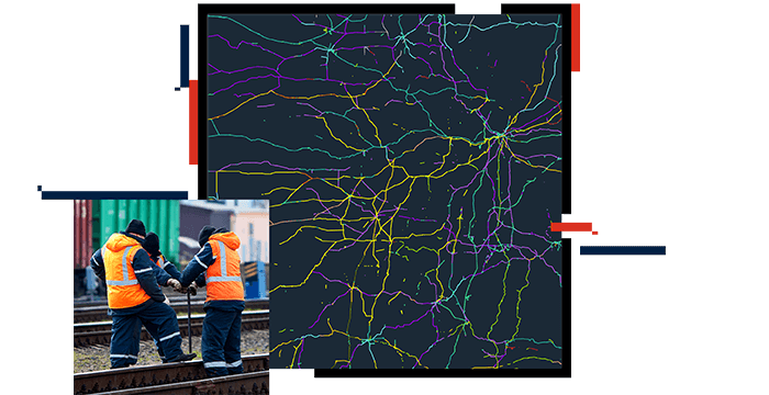
Railroads often intersect with public road crossings, and there is a growing demand for comprehensive information about these crossings. By having rail data in a GIS format, key municipalities can easily access and understand the location of crossings. This allows seamless and efficient sharing of information.


