
Track virus spread with ArcGIS Insights
Experts view contact tracing as a way to help control the spread of COVID-19. Link charts can visualize the relationship between potential cases.
Explore resources for security operations and connect with industry experts.
See how security organizations transformed situational awareness and emergency response activities during the 2020 Tournament of Roses Parade.

Track virus spread with ArcGIS Insights
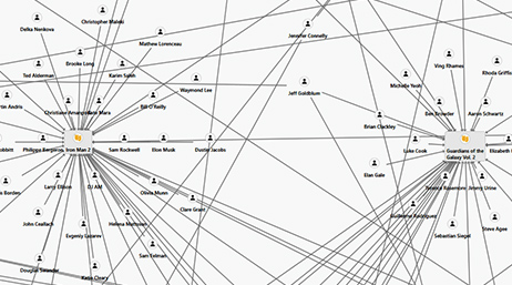
Create a link chart using ArcGIS Pro Intelligence
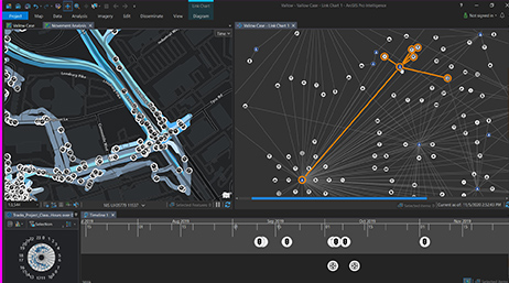
What's new in ArcGIS Pro Intelligence 2.7
Extend GIS to the entire organization

Crime analysis tools in ArcGIS Pro

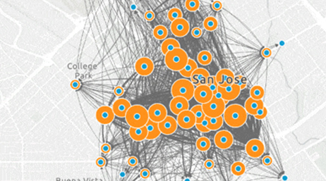
San Antonio gains real-time awareness

Illinois State Police secure the state fair
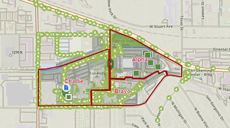
Observing activity through a mission dashboard
Join the geospatial conversation with others in the global community of Esri users. Find solutions, ask questions, share ideas, or browse the forums and collaborate to solve problems with GIS.

Safety and Security Summit @Esri UC | Watch the proceedings and save the date

Instructor-led and self-paced options help individuals apply best practices and quickly learn ArcGIS software. Esri offers these ArcGIS courses, designed for public safety workflows, to help you gain deeper insight into your organization's data for making well-informed decisions.

Speak with a representative.