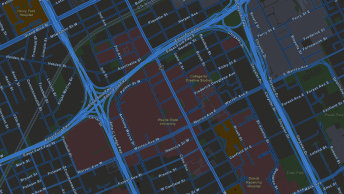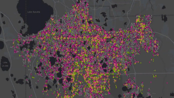
Analysis, design, and project funding
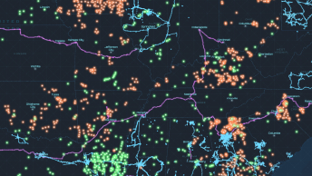
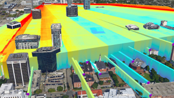
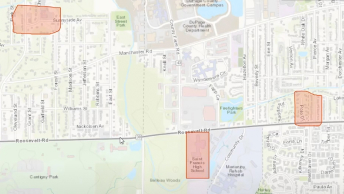
Perform broadband mapping and an initial high-level project analysis to speed up planning, design, and funding estimates. Quickly assess access, automated routing and design, permitting, terrestrial interference, and construction timelines. Plan for equitable expansion and win bids with precise data and maps.