Skip to Content

Next Generation Network Management with ArcGIS

Manage all network technologies, track designs, and deliver current as-built drawings

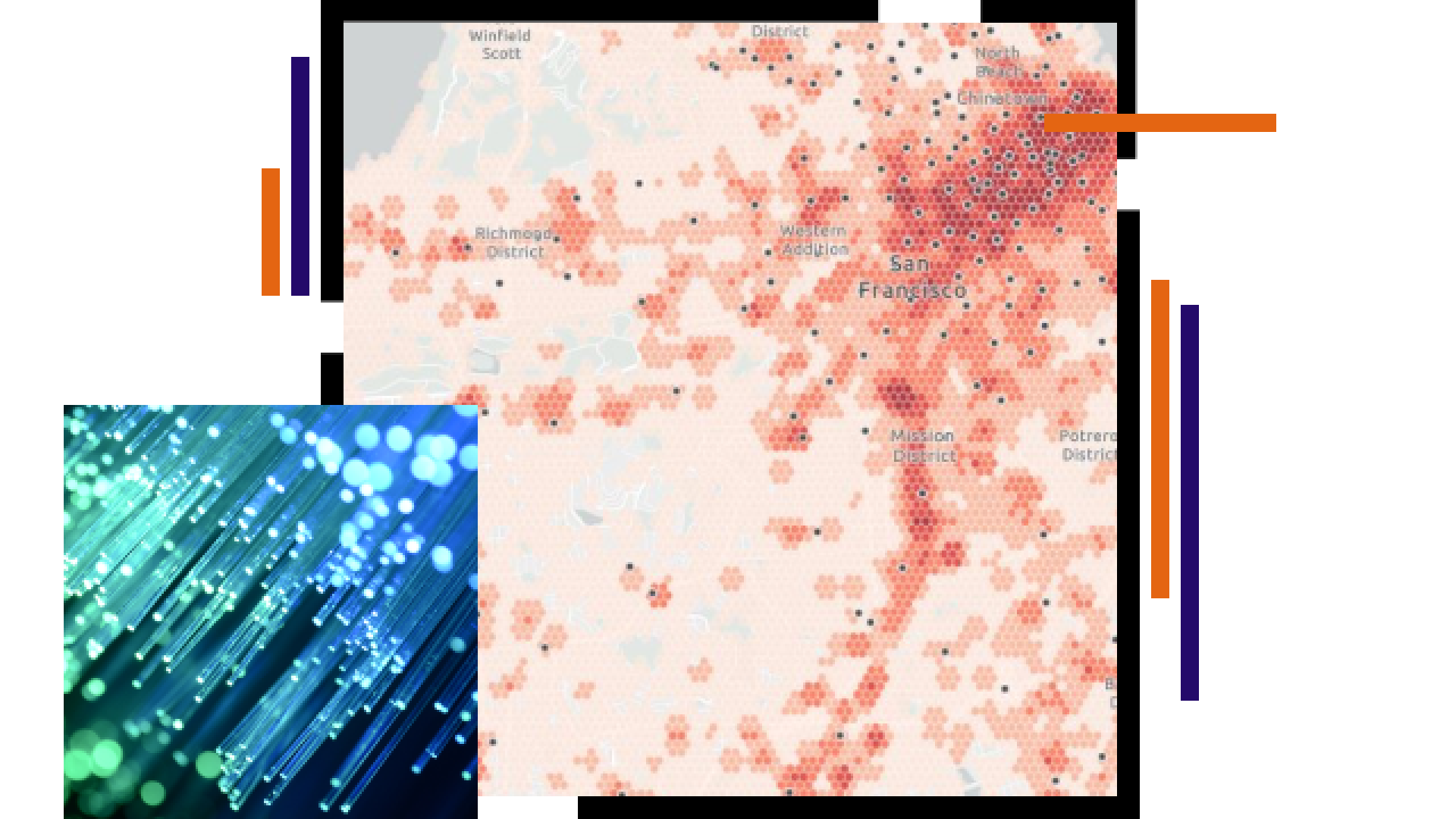
Map of San Francisco with red dots, telecommunication fiber

Enhance next generation networks with GIS

ArcGIS is the only geospatial system that enables next generation network management and a network digital twin. Design and manage all network technologies—fiber, hybrid fiber-coaxial, copper, and wireless—with a configurable data model. Track designs and the network life cycle with intuitive web and mobile apps. Easily move from design to as-built drawings and provide real-time network views to sales, customer care, and network operations teams.

Sales and marketing

Drive revenue growth with maps and location-based analytics that help teams understand market demand and perform insightful sales analytics. Use the same geographic information system (GIS) technology to accurately qualify a prospect, fulfill services, and ensure a successful customer journey.

Wireless tower and map of its location

Network build-out

Innovative GIS tools support planning, design, and engineering during network build-outs. Reduce time to market with remote engineering and maintain better project operational awareness as you invest in and deliver next generation networks.

National Subscriber Behavior Reporting dashboard with map and metrics

Fulfillment and operations

Use dynamic maps and robust spatial analytics to maintain an accurate, complete view of the network and inform decisions about project prioritization and resource optimization.

Person looking at a digital map of operations

Next Gen Network Management for Telecommunications

GIS supports the end-to-end network rollout and customer journey.

Read the story

Contact sales