Skip to Content
,

Native American Tribal Governments

Create a more sustainable community for generations to come with GIS

Map with streets and parcels, person with hands clasped, tall tree by a lake

Supporting Native American decision-making

Native American policy makers, administrators, scientists, and instructors can use geographic information system (GIS) technology to make their tribal organizations more efficient and effective. GIS helps leaders find solutions to issues related to tribal lands and in tribal programs on a local, regional, and national level.

Access ArcGIS

Many federally recognized tribes have access to ArcGIS software and can leverage GIS tools to create positive impacts in their communities. Tribal staff can use GIS and the spatial perspective to improve communication, decision-making, and efficiency in their organizations.

Get access
Person holding a tablet with map on it
quotemark

As some of the earliest adopters of GIS technology, Native American tribal governments have used GIS to support thousands of programs and initiatives.

Jack Dangermond
President, Esri
Jack Dangermond

Using GIS to support tribal communities

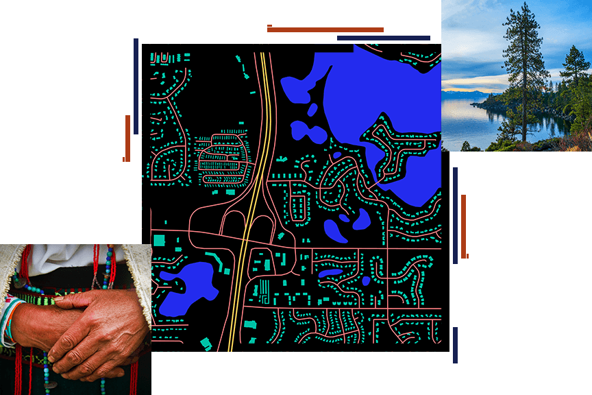
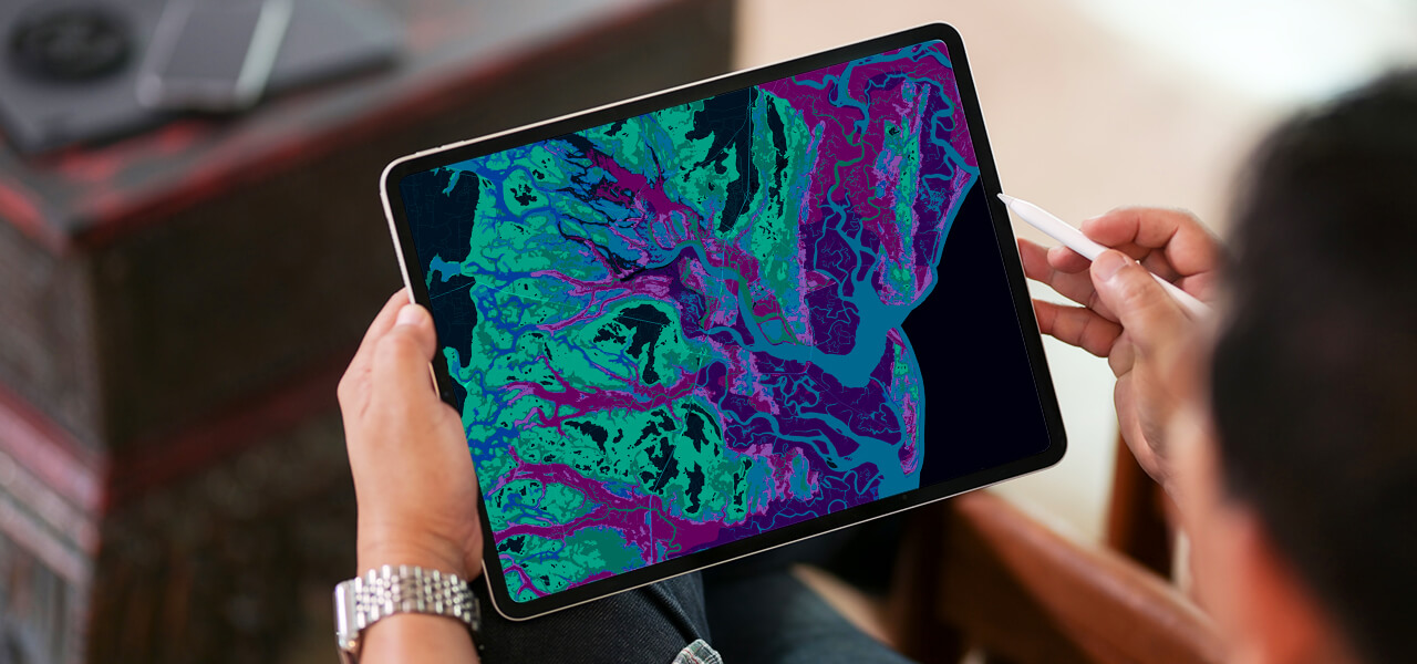
Managing resources and protecting the earth

By embracing GIS technology, a tribe can conduct a detailed inventory of current natural resources and incorporate ecological knowledge. Capturing data from the past and recording it in the present supports future sustainability.

Joshua Tree

Managing transportation and infrastructure

From managing road inventory, construction, and maintenance to permitting, planning, and routing, GIS helps tribes provide a safe and adequate roadway system while saving money and contributing to the health, safety, and economic well-being of their communities.

Roads around trees

Preserving tribal culture and history

With the rise of modernization, GIS helps to preserve and raise awareness about cultural resources, traditional place-names, culturally significant locations, and cultural identity.

Tribal person with their hands folded

Nurturing economic development on tribal land

The strategic plan and policies that support economic growth, job creation, and place branding require location analysis with GIS technology. GIS provides insight, highlights opportunities, identifies deficiencies, and fosters collaboration to ensure that an organization becomes more innovative and sustainable.

Tribal land boundaries

Creating healthy and safe communities

Tribal leaders can use ArcGIS to design and communicate effective health policies and preventative healthcare initiatives for tribal communities.

Person with child on their back

Our community

Find articles and resources on best practices and innovative solutions for tribes.

Explore news and resources
Two people looking at a tablet computer together

Get access

Contact us

Outside the United States