Skip to Content

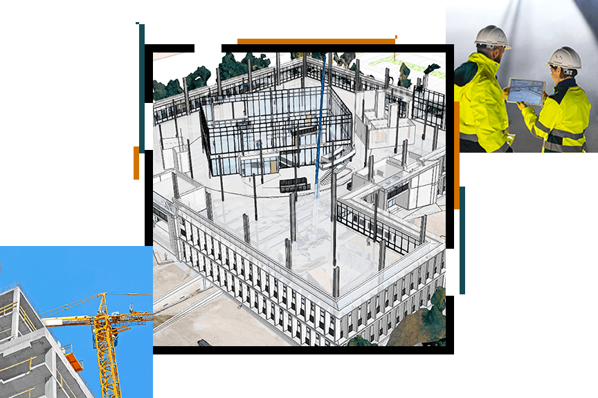
Geo-enabling BIM

Esri is the largest location intelligence and mapping company in the world. Esri's ArcGIS platform offers a range of tools and applications for providing geographic context to BIM data.

With Esri technology architects, city planners, builders and civil engineers can collaborate more effectively, giving full understanding of a project’s impact, and leading to better design and cost saving. Combining GIS and BIM allows you to design resilient, sustainable environments that help you not only adapt to the future but thrive.

Esri technology can be integrated into all phases of the BIM life cycle:

  • Planning and Permitting
  • Design and Engineering
  • Field Operation
  • Project Delivery
  • Operations and Maintenance
  • Program and Construction Management

Mark your calendar!

Esri experts will be participating in these sessions:
  • Monday, 9:35 am - 10:40 am | Construction 4.0: Digitalization of the Built Environment
    • Jeroen van Winden, CTO, Esri Nederland
  • Tuesday, 11:30 am - 1:00 pm | Smart Connectivity in Digital Cities
    • Maarten Welmers, Business Developer Smart Cities, Esri Nederland 

Schedule a meeting at the Esri booth

Fill out the form, and one of our experts will contact you to schedule a meeting at GEOBIM 2019