Skip to Content
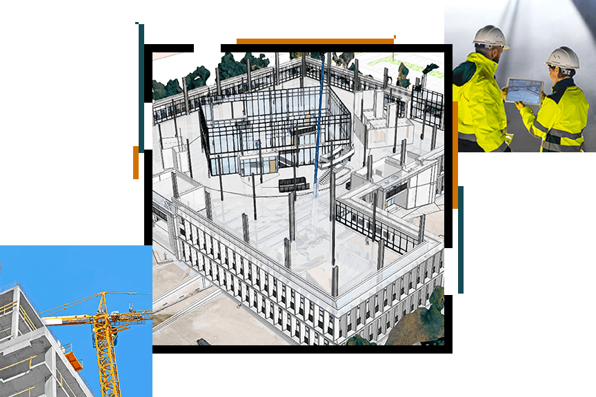
A 3D rendering of a potential building project and a photo of an active construction site against a dark green background

Meet Esri at BIM Coordinators Summit

September 6–7, 2023 | Dublin, Ireland

Visit Esri's booth and schedule a demo or meeting in person or virtually to learn how to integrate a geographic approach into all your workflows.

A 3D rendering of a potential building project and a photo of an active construction site against a dark green background

Connect GIS and BIM to enhance project delivery

Esri is the global market leader in geographic information system (GIS) software, location intelligence, and mapping.  Esri’s ArcGIS technology offers a range of tools and applications for providing geographic context to BIM data, allowing you to design resilient, sustainable environments that help communities adapt to the future and thrive.

With ArcGIS, architects, city planners, builders, and civil engineers can collaborate more effectively and understand a project’s full impact, leading to better designs and reduced costs. Integrate ArcGIS into all phases of the BIM life cycle including the following:

  • Planning and permitting
  • Design and engineering
  • Field operations
  • Project delivery
  • Operations and maintenance
  • Program and construction management

In collaboration with Esri Ireland, Esri is sponsoring, exhibiting, and speaking at the BIM Coordinators Summit. Schedule a demo or meeting in person or virtually to learn how to integrate a geographic approach into all your workflows.

Schedule a meeting or demo

Fill out and submit the form, and one of Esri’s team members will contact you to schedule a meeting or demo at the BIM Coordinator's Summit in person or virtually.