
Real Estate
Leverage the power of location analytics
A complete location intelligence solution for real estate
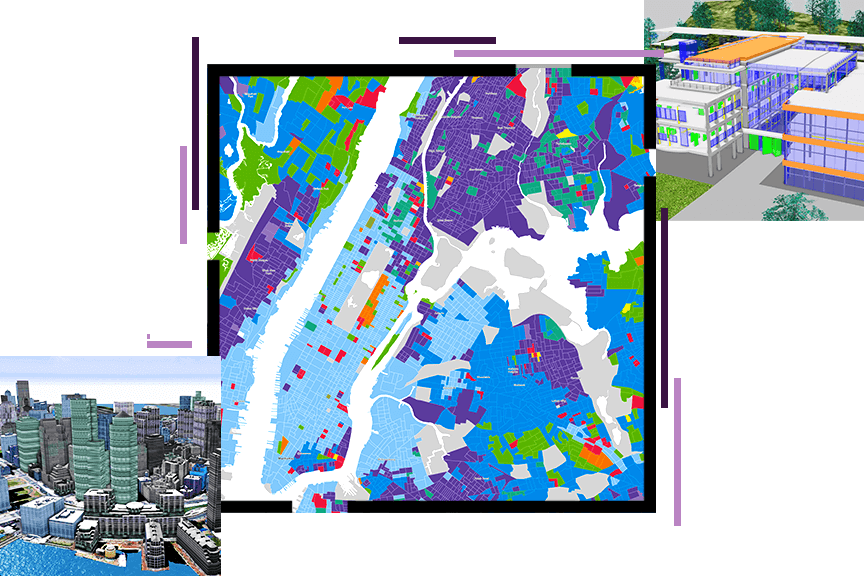
ArcGIS is a complete location intelligence solution for commercial real estate professionals. Real estate companies and investors use the tools in ArcGIS to research markets, identify new opportunities for growth and expansion, and manage their investments at the market and neighborhood levels. They can use ArcGIS to create professional digital and printed marketing materials—such as 3D renderings and virtual walk-throughs—to help market properties across platforms. Real estate professionals can use mobile data collection tools to gather property information directly from the field and analyze and share insights across their organizations in real time.
Real estate industry strategies
Previous
Next
ArcGIS empowers real estate
Across every segment of the real estate industry, ArcGIS provides insights and analysis that enable your organization to empower sellers, inform stakeholders, guide investors, and win deals.

Office and industrial development
Strengthen your enterprise network by placing your facilities and offices in optimal locations to maximize your real estate investment. Find the best locations fast with ArcGIS.
Sustainable communities
Find out how development projects will impact communities at a hyperlocal level. Increase transparency during planning and proposal phases about issues such as environmental impact and displacement.
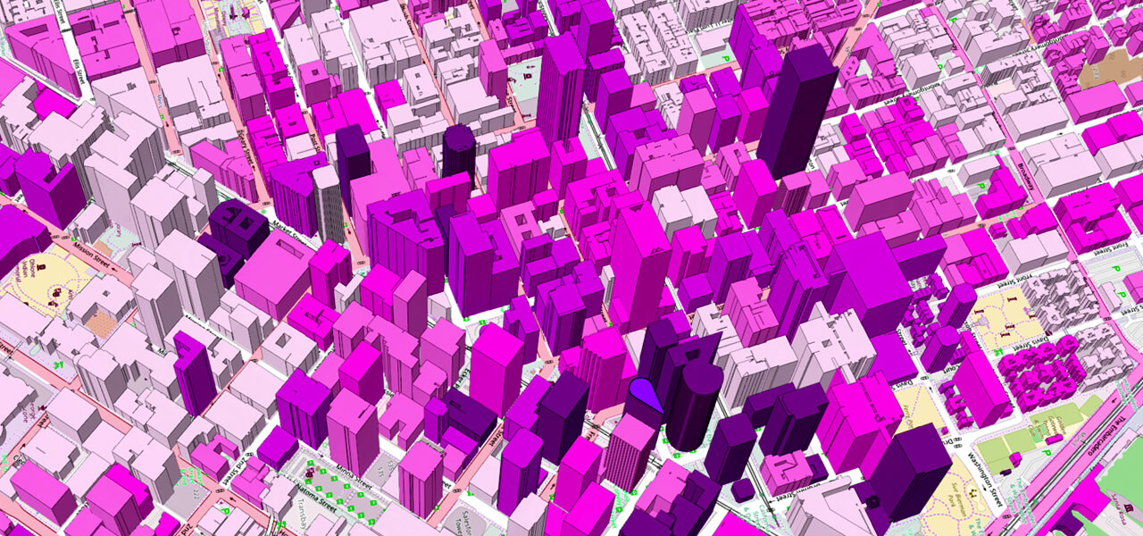
Residential real estate
Understand local neighborhood dynamics in all the markets where you do business. From developers to brokers and agents, precise local intelligence wins business.
Retail development
Retailers demand accurate intelligence about potential locations to inform their real estate decisions. ArcGIS provides brokers with the data they need to inform their clients.
Upcoming event
Esri Developer & Technology Summit | March 10–13, 2026 | Palm Springs Convention Center | Palm Springs, California

Our community
Find out how your peers are using Esri technology to achieve their goals.
