What you get
Online and desktop mapping and analysis software with secure accounts and data, along with access to online training, Esri partners, and professional services

GIS for school and district mapping and operations
Every dollar saved in administration is another dollar to put toward instruction. Use ArcGIS for school administration to understand and implement new strategies for a stronger school or district.
Protect your school community from threats large and small. Situational awareness is valuable under normal conditions and priceless when problems arise. Get to know the health of your people and of mission-critical resources that keep everyone safe.


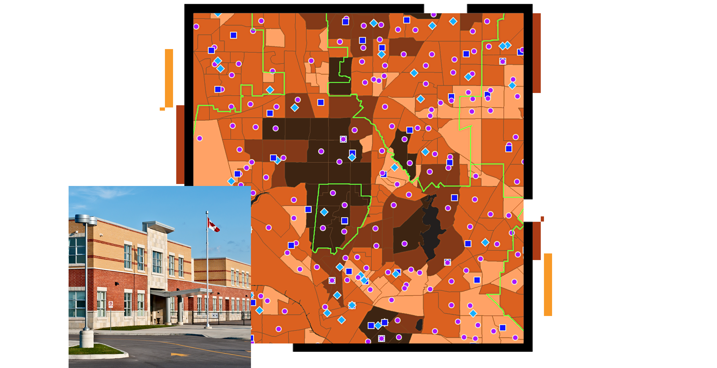
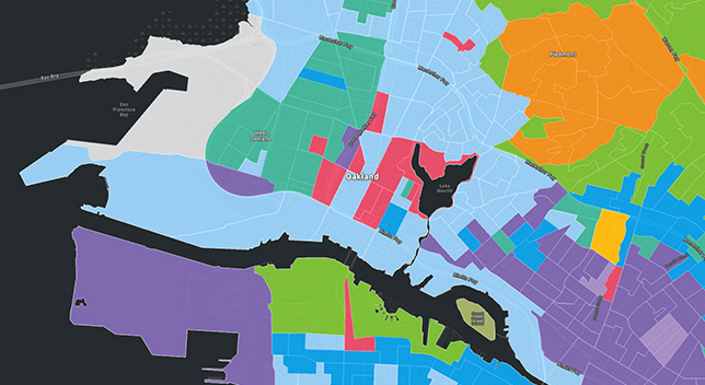
Better understand the character of your community and how it's changing. Improve resource allocation to meet needs. Define the attendance zones that best serve your residents.

Improve routing efficiency, from bus schedules and student drop-off zones to delivery of meals and classroom necessities.


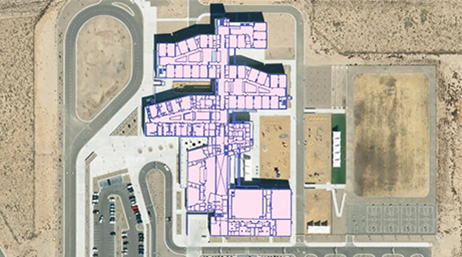
Know the status of your facilities to best support student learning. Be prepared to handle new challenges outside your control.

Use The Science of Where to analyze how your district is working. Look inside the standards and assessments to find the patterns. Measure, document, and share performance across a variety of metrics.


Partner solutions
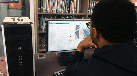
Online training
Facilities management webinars

Understand smart campuses
An Administrative Use Department License provides core components of the ArcGIS platform for research, operations, transportation, facilities management, and other tasks.