Analyze and select the best trade areas
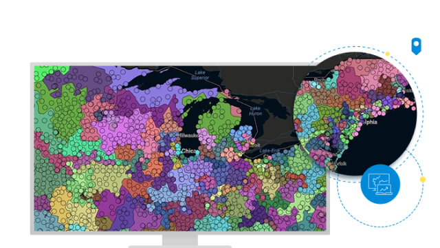
Trade areas are where organizations do most of their business with their customers. With ArcGIS Business Analyst Pro, trade areas can be constructed and analyzed with a variety of methods using customer and competitor locations, administrative boundaries, street networks and distances, and multiple other geographic variables.