Technology Transformed
In this Q&A, Esri director of software products Clint Brown reflects on how GIS grew from a niche field into a vital industry.
In this Q&A, Esri director of software products Clint Brown reflects on how GIS grew from a niche field into a vital industry.
The drone industry has been through highs and lows—and it is now at a crucial point that’s intertwined with mapping and GIS technology.
If someone can’t understand a map’s labels or symbols, the data fails. Here’s how to design maps for visibility, belonging, and action.
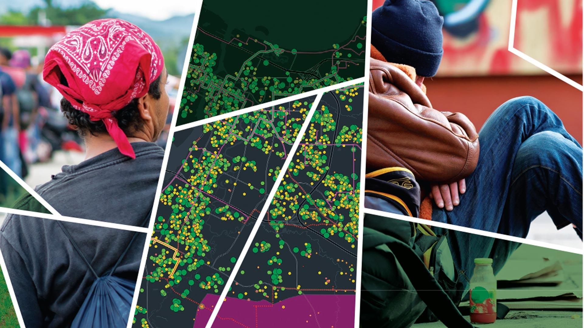
Powered by Esri technology, Cadasta’s platform and training have helped communities in 50 countries map over 115,800 square miles of land.
The strengthened Freedom of Information Act was the basis of the open data movement and, in many ways, impacted GIS data sharing.
Data spaces like Gaia-X let data providers work across clouds while controlling access to data. Esri technology integrates well with Gaia-X.
Esri is embracing the power of AI and the capabilities that it brings. But developing AI right is more important than doing it fast.
With humanity at an inflection point, we must choose to stand up and create a sustainable future.
UMass Global’s Institute for Geospatial Education meets students where they are and breaks the learning process down into familiar steps.
Many government agencies are turning to GIS to capture the knowledge that workers would otherwise take with them when they retire.
Business schools must adapt their curricula to show students how to leverage the latest location technology for the greater good of society.
Leverage GIS to support equity objectives, empower staff to take action, track program effectiveness, and communicate results.