A Small Utility Sees Big Gains with GIS and AI
The City of Starke, Florida, transitioned from analog processes to a digital-first approach—without going over budget.
The City of Starke, Florida, transitioned from analog processes to a digital-first approach—without going over budget.
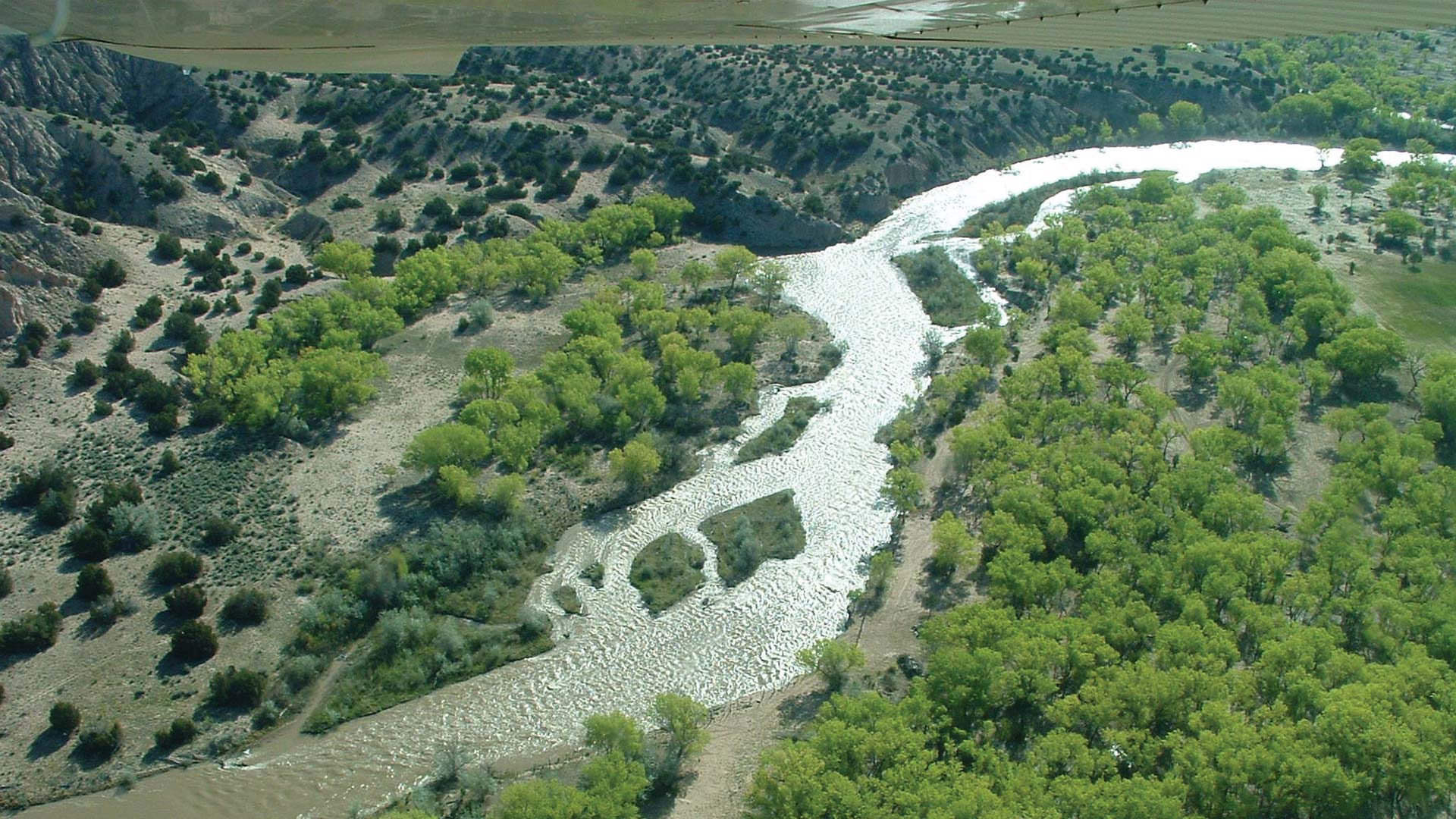
After migrating to ArcGIS Pro, the Albuquerque Bernalillo County Water Utility Authority used its own data to train staff on the new system.
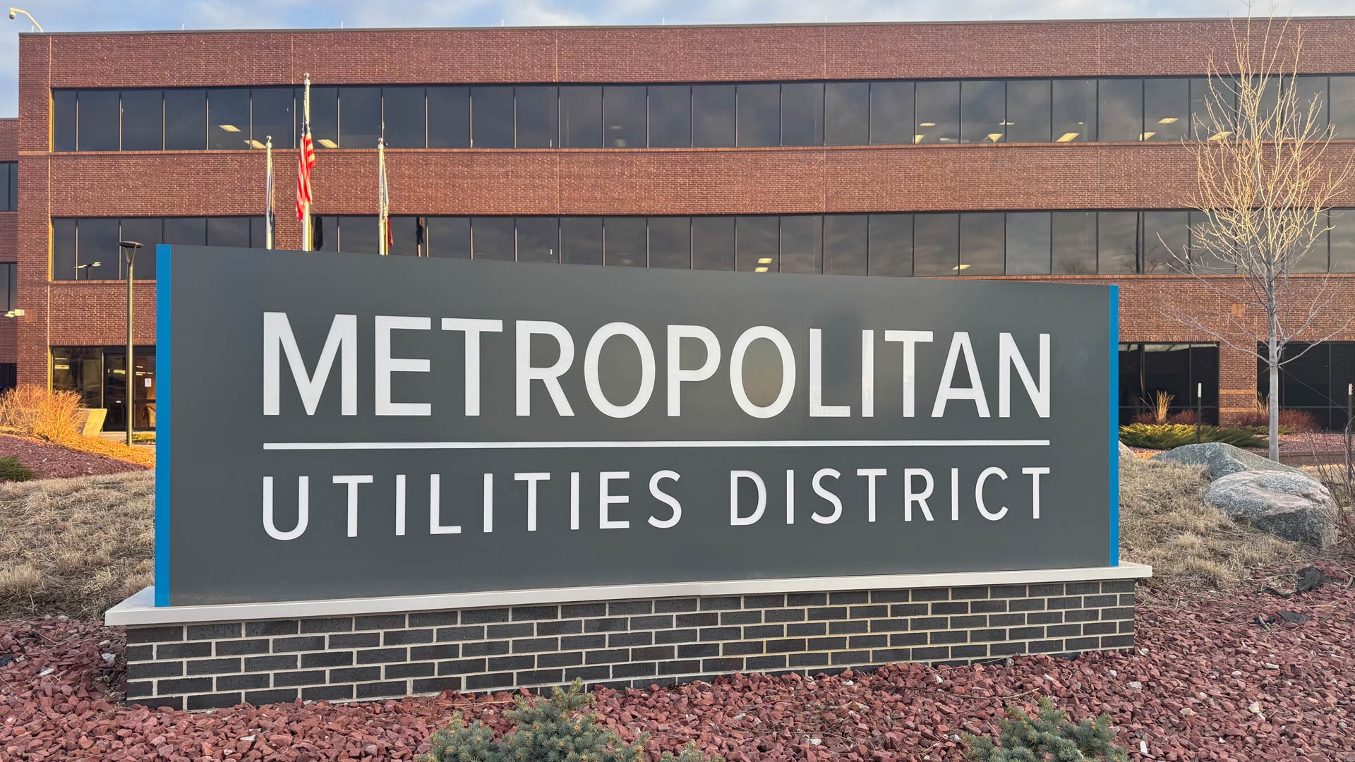
Omaha, Nebraska’s Metropolitan Utilities District now has a precise data model of its assets and operations with full network connectivity.
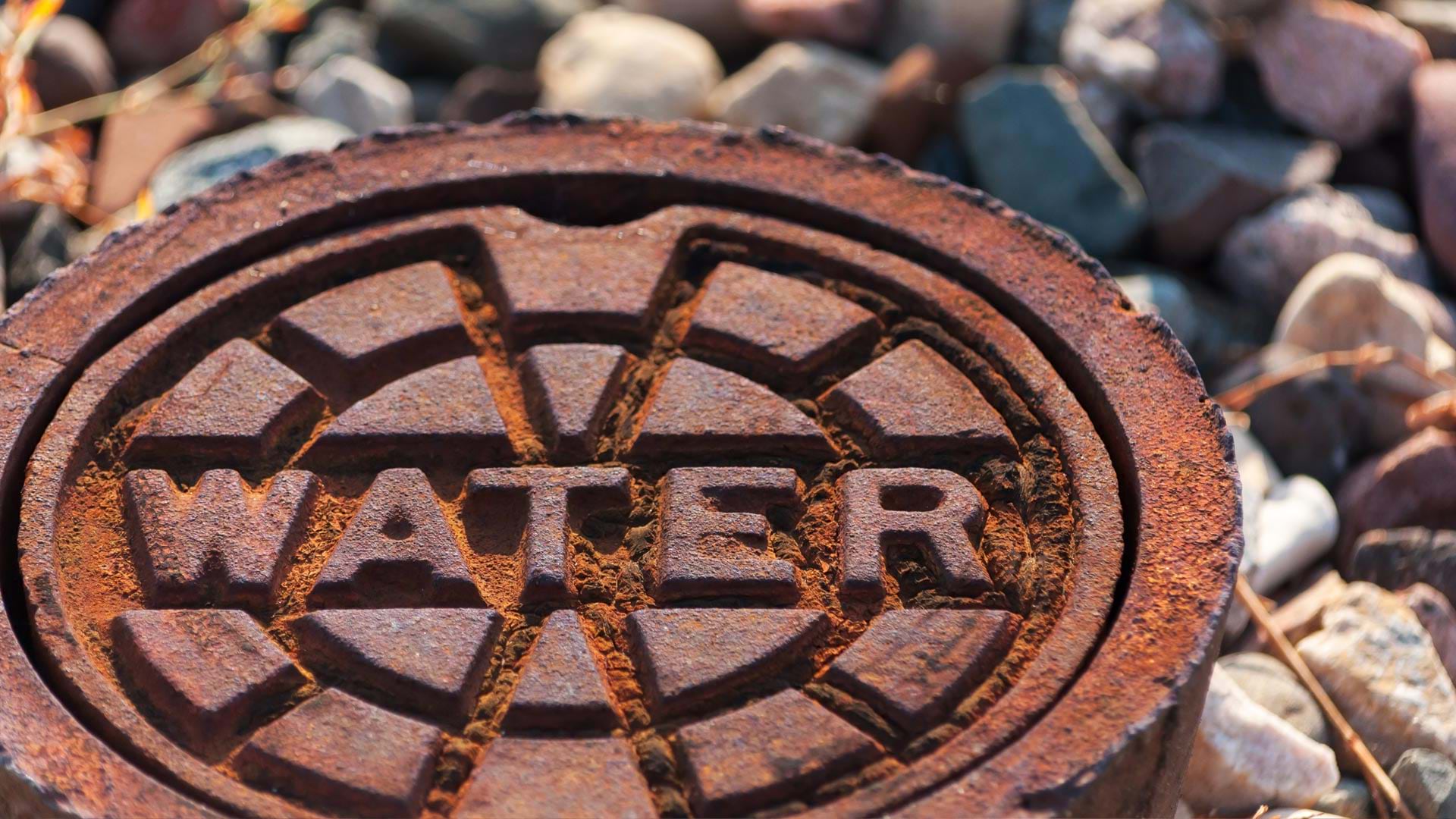
Esri partner Black & Veatch’s LCRR program management platform helps inventory water pipes for lead and copper and keep the public informed.
Esri’s three distinct implementation options let utilities deploy enterprise GIS at their own pace.
Its six natural gas operating companies now use ArcGIS Workforce, ArcGIS Field Maps, and ArcGIS Dashboards to conduct GIS-based inspections.
As providers deploy broadband more equitably throughout the United States, GIS is being used for network planning, design, and deployment.
“Kaukauna Utilities is realizing efficiencies not only in mapping but also [in] engineering and operations,” said one company director.
A linear asset risk model now helps Omaha’s Metropolitan Utilities District prioritize water main renewal and assessment projects.
Esri partners facilitate and streamline workflows and management of a variety of community management projects.
An AI-powered pipe inspection app, when paired with a dynamic tool built in ArcGIS, shows utilities a complete overview of their networks.
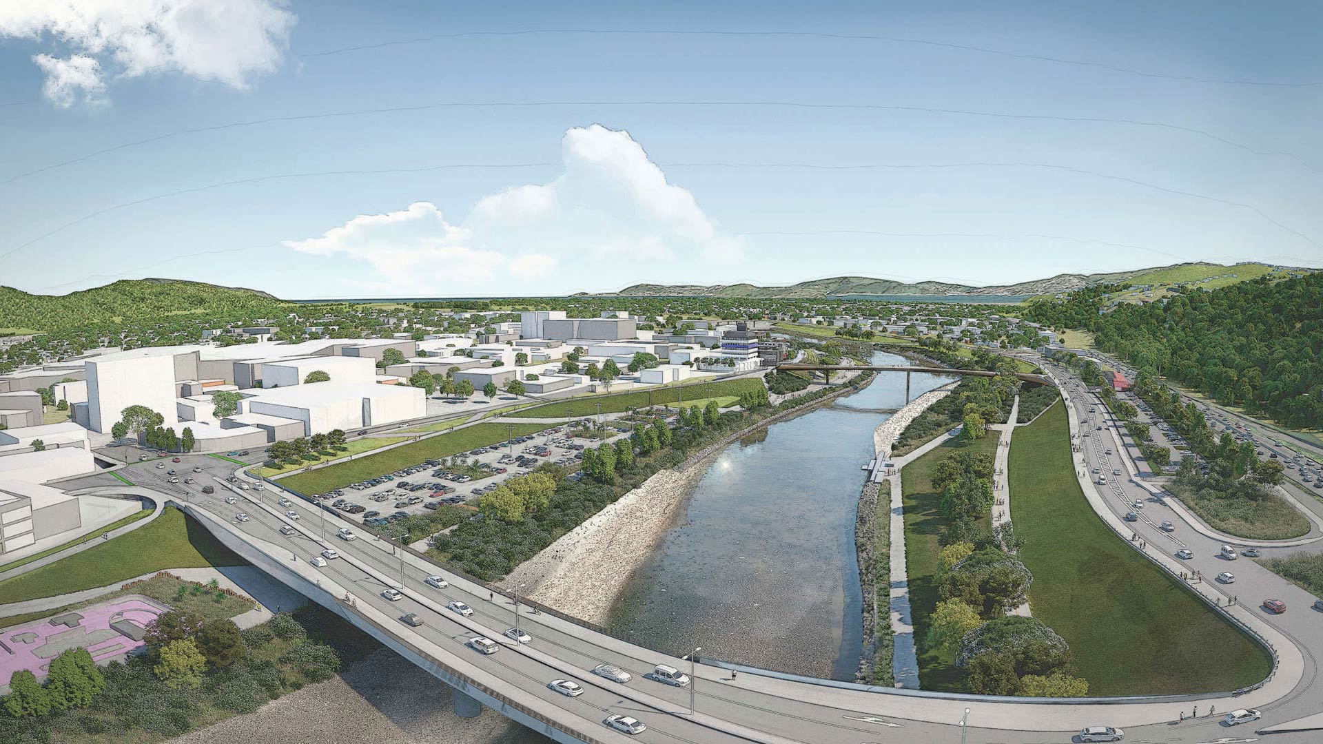
Esri startup partner Reveal helped a New Zealand community with flood protection, transportation upgrades, and urban revitalization.