GIS Sets the Stage for Water Management
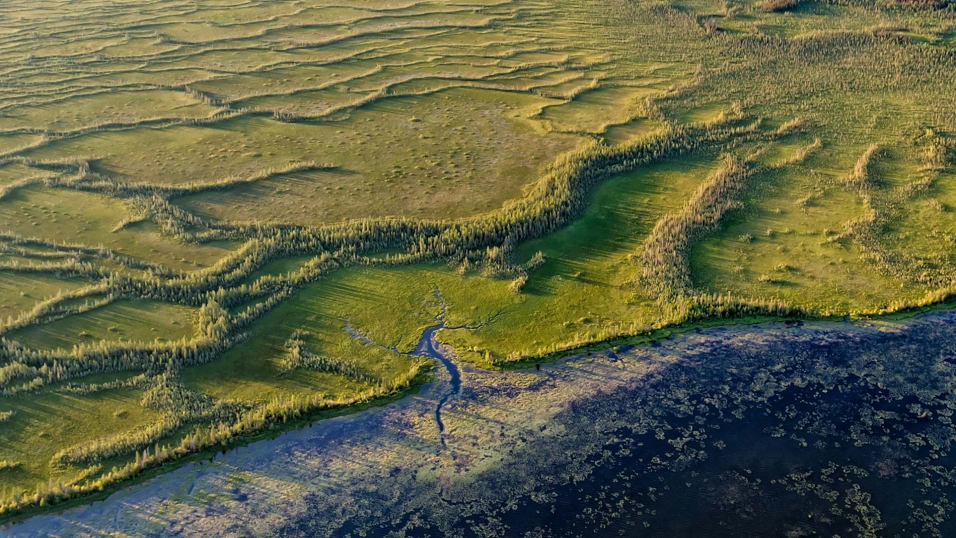
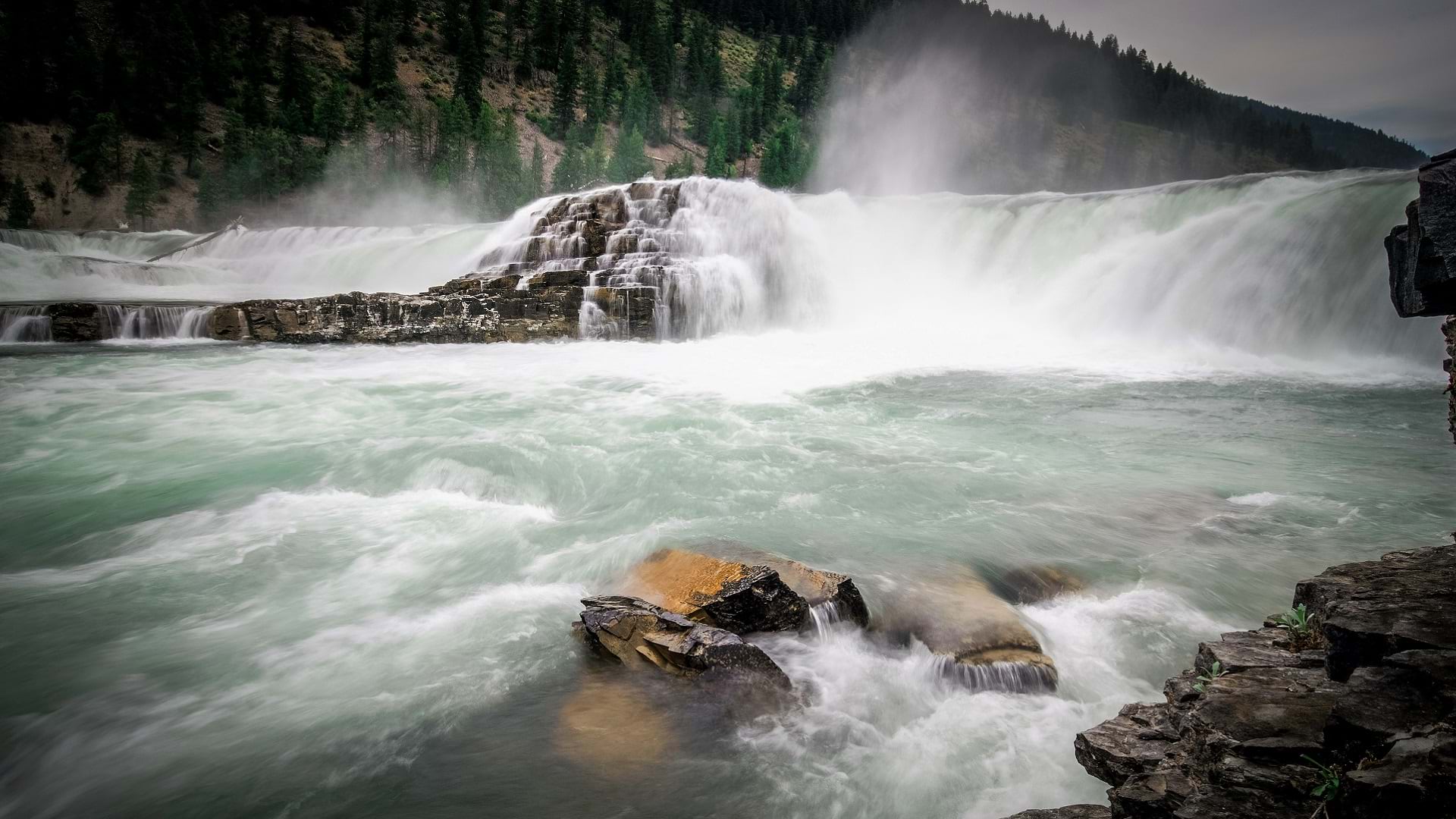
Water management in Montana has a new look—a publicly accessible web app that provides detailed streamflow data with ArcGIS technology.
Water management in Montana has a new look—a publicly accessible web app that provides detailed streamflow data with ArcGIS technology.
Using GIS-based weed-spraying technology, environmental restoration organizations are working to reverse the impacts of industrial development.
One of the many things you can customize in your ArcGIS organization is your basemap gallery. Here's how.
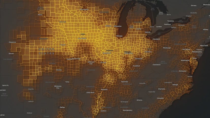
Check out how to use texture fills in the ArcGIS Online map viewer to highlight regions or to denote uncertainty.
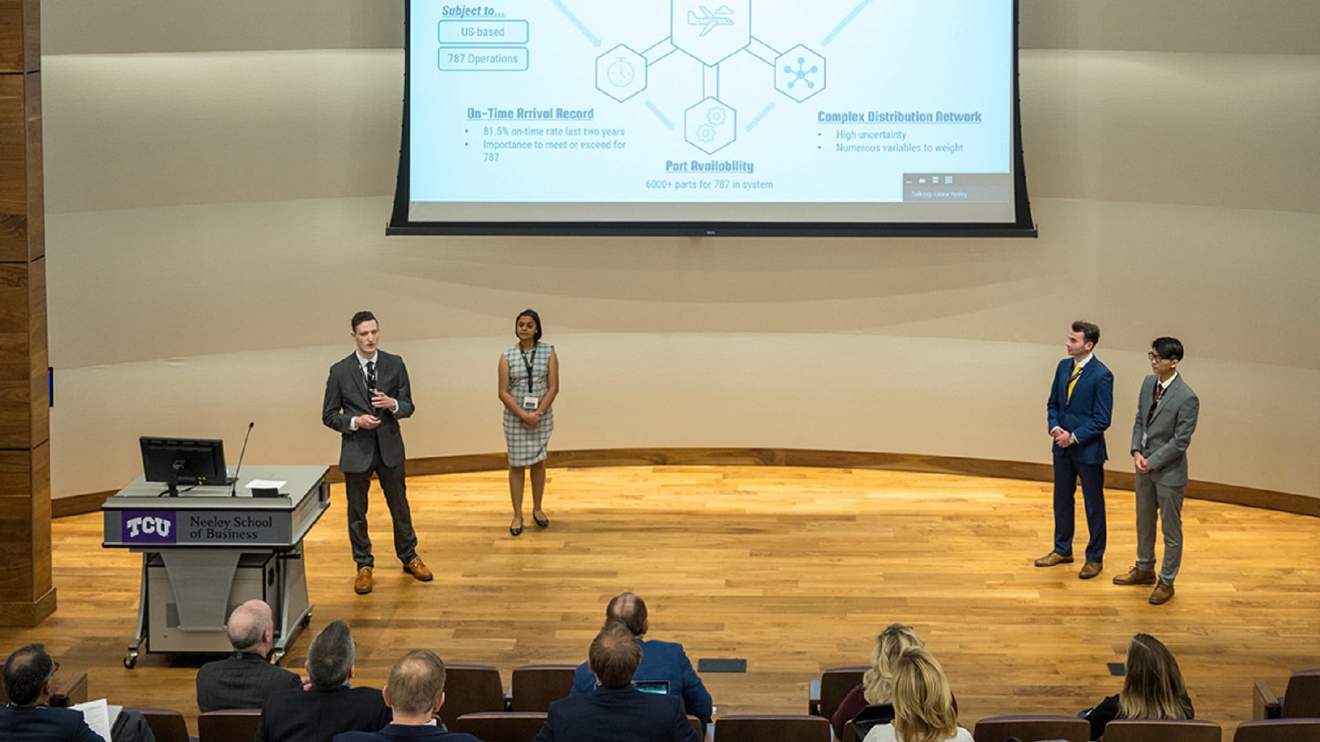
In TCU’s case competition at the Neeley School of Business, graduate students use ArcGIS technology to address pressing supply chain issues.
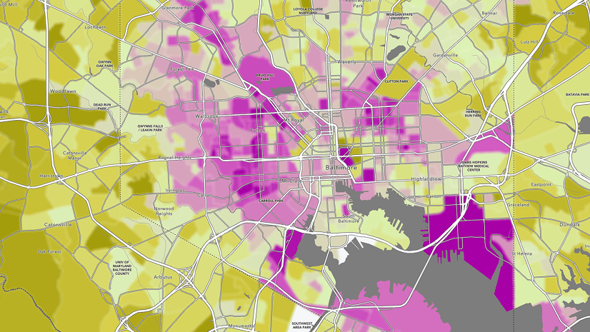
Blur is the perfect effect for data that has been protected with differential privacy. Learn more about using the effect in this blog.
When displaying photos or other images in ArcGIS Online web map pop-ups, it’s sometimes the small things that can make a big difference.
Explore the possibilities of mapping in ArcGIS Online. This video shows you how to get started with creating a map in Map Viewer.
Get the most out of the pop-up charts available to you in ArcGIS Online, and learn how to configure them to best represent your data.
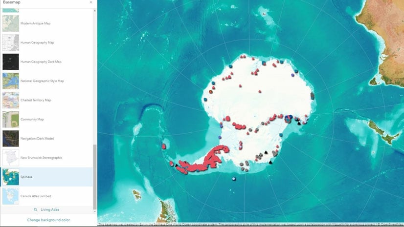
Take advantage of recent ArcGIS Online updates and learn how to switch between basemaps with different spatial references in this tutorial.
Manage app licenses, allocate credits, and more. Explore these tips on how you can improve the efficiency of your ArcGIS Online organization.
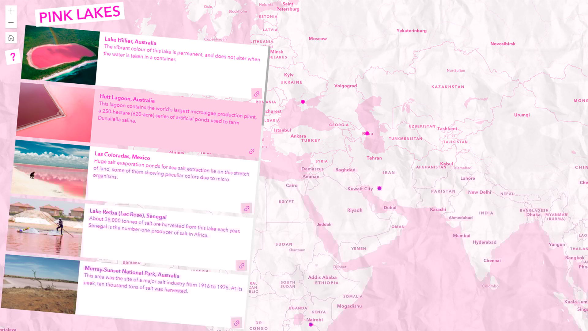
Learn to map pink lakes around the world and make the map pink to match its colorful theme.