Watch the Earth Move
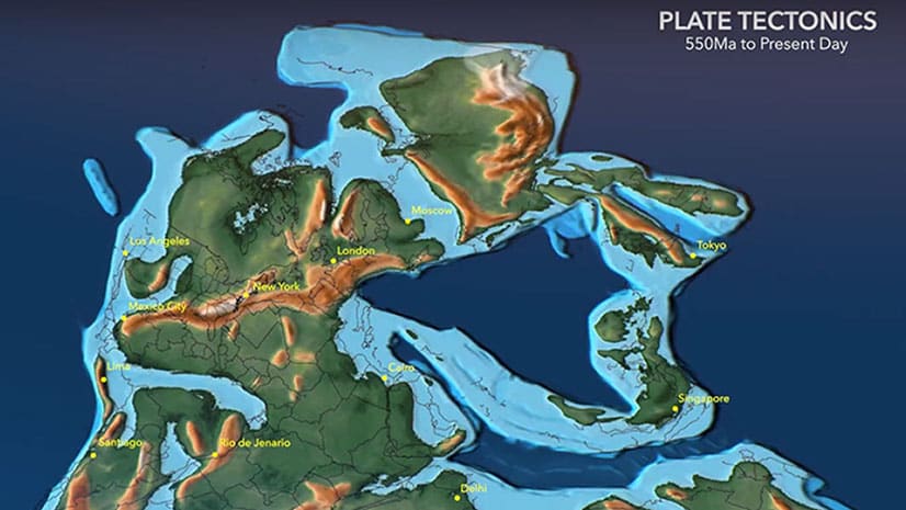
Go back 542 million years to see how the earth’s tectonic plates have moved using this animated map created, in part, using ArcGIS Pro.
Go back 542 million years to see how the earth’s tectonic plates have moved using this animated map created, in part, using ArcGIS Pro.
Want to spotlight a specific geographic area of interest in your map? Create a vignette with the Overlay Fade style for ArcGIS Pro.
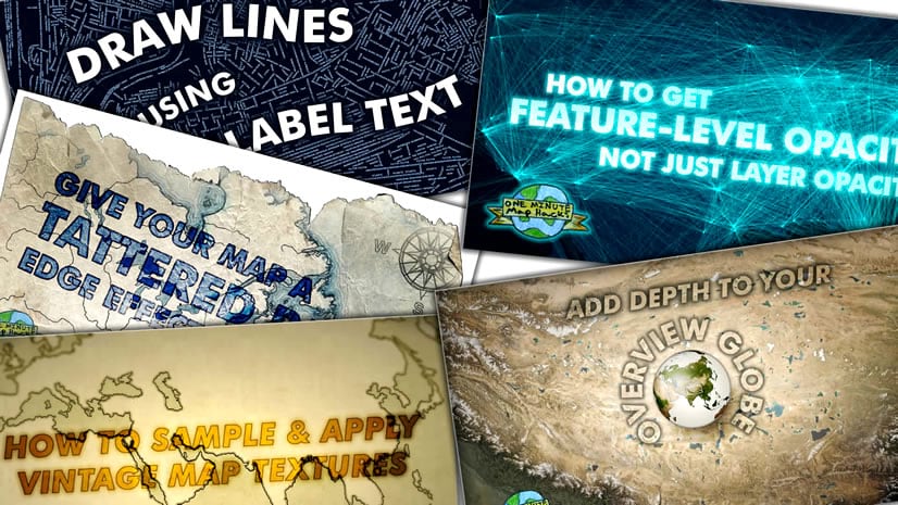
In this one-minute map hack, Esri cartographer John Nelson teaches you how to use ArcGIS Pro make a line map made up of labels.
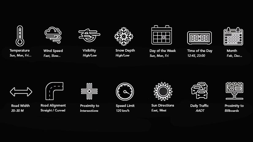
Omar Maher from Esri shows how ArcGIS and Microsoft Azure Machine Learning tools can predict the probability of traffic accidents.
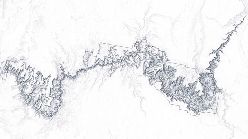
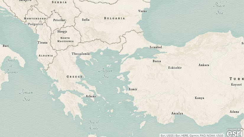
John Nelson from Esri shows you how to use ArcGIS Pro to give cluttered-looking coastlines on a small scale map a more elegant appearance.
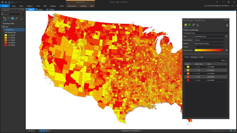
Esri cartographer John Nelson and his 11-year-old son make a map that shows where younger versus older people live in the United States.
Learn about attribute fields and how to apply attribute validation techniques to geodatabase features using ArcGIS Pro.
Esri’s Madeline Schueren explains how to use several new analysis tools in ArcGIS Pro based on a scenario about movie filming locations.
Esri's Colin Childs walks you through the steps for creating and managing metadata in ArcGIS Pro.
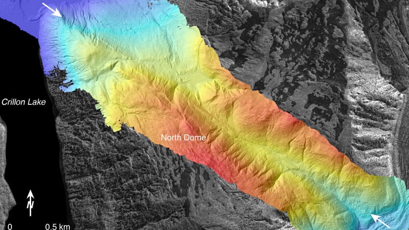
Learn basic lidar concepts and best practices to manage, edit, visualize, and share lidar-derived 2D and 3D information products in ArcGIS Pro.
Learn basic lidar concepts and best practices to manage, edit, visualize and share lidar-derived 2D and 3D information products using ArcGIS Pro.
Kory Kramer and Olivia Iannone from Esri demystify how editing works in ArcGIS Pro and show you how your data is kept safe from editing mishaps.